Chest opened
+${chestReward.xp} XP
Explorer
NOUVEAU ×${chestReward.collectible.quantity}
tapez pour fermer
Chest locked

Open chests in the app

Around Us is built for your phone — chests unlock when you walk, explore and capture nearby places.

Enable Location

We need your location to show you interesting places around you

Discover nearby places

Find interesting locations and hidden gems around you

Precise directions

Get accurate directions and distances to places

Your location is never shared with other users. It's only used when you tap the location button.

Pacoima

Log in to your account

Start exploring — it's free

Trusted by 72,888 travelers worldwide

Continue with Google
Continue with Apple
or

We will send you a code to connect

By continuing, you accept our Terms and Conditions and our Privacy Policy

Check your inbox

We've sent a pincode in your inbox. Please enter the code below.

Discussion Reviews 1 Photos
5.2k Popularity

Pacoima, Residential district in San Fernando Valley, Los Angeles, United States.

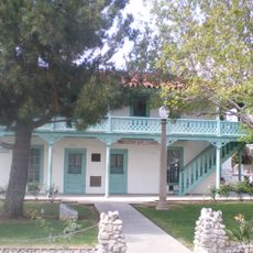
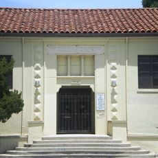
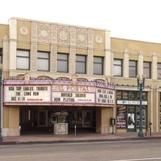
Pacoima is a residential district in the northern San Fernando Valley in Los Angeles with densely built streets and multi-story homes reflecting different eras. The area spans several kilometers and displays a mosaic of housing blocks, small shops, and green spaces between buildings.

The area was originally Tataviam tribal land and later controlled by missions before becoming agricultural land in the 1800s. The railroad arrived in 1887 and transformed it into a settlement that eventually became part of expanding Los Angeles.

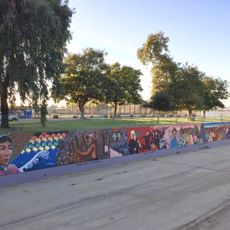
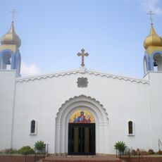
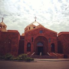
The name comes from the Tataviam language and shapes the neighborhood's identity today. It has become a hub of Latin American culture where Spanish is spoken and Mexican traditions define daily life in the streets.

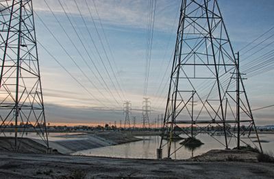
The district is well connected by local buses and several streetcar and metro lines pass through or border the area. Download a map app before arriving since the streets form a regular grid that is easy to navigate.

A tragic plane crash at a local school in 1957 forced authorities to permanently change flight routes over the area. This event left marks on aviation safety history and shapes residents' awareness to this day.

The community of curious travelers

AroundUs brings together thousands of curated places, local tips, and hidden gems, enriched daily by 60,000 contributors worldwide.

Start exploring
Location
GPS coordinates
34.26250,-118.42703
Latest update
December 10, 2025 16:28
Around this place
Mission San Fernando Rey de España
United States of America

Mission San Fernando Rey de España

3.3 km
Sepulveda Dam
United States of America

Sepulveda Dam

11.5 km
Grace Community Church
United States of America

Grace Community Church

4.6 km
Nethercutt Collection
United States of America

Nethercutt Collection

6 km
The Great Wall of Los Angeles
United States of America

The Great Wall of Los Angeles

9.4 km
The Japanese Garden
United States of America

The Japanese Garden

10.1 km
Chili John's
United States of America

Chili John's

12.6 km
Placerita Canyon State Park
United States of America

Placerita Canyon State Park

12.7 km
Portal of the Folded Wings Shrine to Aviation
United States of America

Portal of the Folded Wings Shrine to Aviation

10.1 km
17 Hertz Studio
United States of America

17 Hertz Studio

11.7 km
Matadome
United States of America

Matadome

9.4 km
Pacoima Dam
United States of America

Pacoima Dam

8.5 km
Rómulo Pico Adobe
United States of America

Rómulo Pico Adobe

3.8 km
United States of America

Van Nuys City Hall

8.9 km
Convento Building
United States of America

Convento Building

3.3 km
Bolton Hall
United States of America

Bolton Hall

12.8 km
O'Melveny Park
United States of America

O'Melveny Park

10.2 km
Sylmar Converter Station
United States of America

Sylmar Converter Station

7.4 km
California State University Northridge Botanic Garden
United States of America

California State University Northridge Botanic Garden

9.6 km
Lopez Adobe
United States of America

Lopez Adobe

2.6 km
San Fernando Pioneer Memorial Cemetery
United States of America

San Fernando Pioneer Memorial Cemetery

6.8 km
Cathedral of St. Mary Byzantine Catholic Church
United States of America

Cathedral of St. Mary Byzantine Catholic Church

11.2 km
North Hollywood Amelia Earhart Regional Library
United States of America

North Hollywood Amelia Earhart Regional Library

11.6 km
Van Nuys Branch
United States of America

Van Nuys Branch

8.9 km
St. Leon Cathedral
United States of America

St. Leon Cathedral

10.1 km
Valley Relics Museum
United States of America

Valley Relics Museum

8.6 km
El Portal Theatre
United States of America

El Portal Theatre

11.6 km
Playtime Co.
United States of America

Playtime Co.

8.5 km
Show the full map
Reviews
Share your experience

No review yet

Discussions
Start a discussion...

No discussion yet

« Pacoima - Residential district in San Fernando Valley, Los Angeles, United States » is provided by Around Us (aroundus.com). Images and texts are derived from Wikimedia project under a Creative Commons license. You are allowed to copy, distribute, and modify copies of this page, under the conditions set by the license, as long as this note is clearly visible.

Discover hidden gems everywhere you go!

From secret cafés to breathtaking viewpoints, skip the crowded tourist spots and find places that match your style. Our app makes it easy with voice search, smart filtering, route optimization, and insider tips from travelers worldwide. Download now for the complete mobile experience.

Around Us App Screenshot

A unique approach to discovering new places

Le Figaro

All the places worth exploring

France Info

A tailor-made excursion in just a few clicks

20 Minutes

Around Us
Travel Guide & Maps
Download

Send to your phone

QR Code
1

Open the camera app on your mobile.

2

Point at the QR code with your camera. A notification will appear.

3

Tap the notification to open the link.