Chest opened
+${chestReward.xp} XP
Explorer
NOUVEAU ×${chestReward.collectible.quantity}
tapez pour fermer
Chest locked

Open chests in the app

Around Us is built for your phone — chests unlock when you walk, explore and capture nearby places.

Enable Location

We need your location to show you interesting places around you

Discover nearby places

Find interesting locations and hidden gems around you

Precise directions

Get accurate directions and distances to places

Your location is never shared with other users. It's only used when you tap the location button.

Log in to your account

Start exploring — it's free

Trusted by 72,996 travelers worldwide

Continue with Google
Continue with Apple
or

We will send you a code to connect

By continuing, you accept our Terms and Conditions and our Privacy Policy

Check your inbox

We've sent a pincode in your inbox. Please enter the code below.

Plains of Leon
Discussion Reviews Photo
2k Popularity

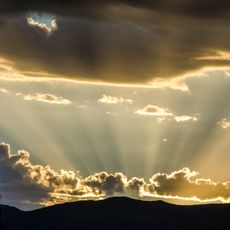
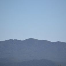
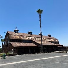
Plains of Leon, Geographic plain system in Riverside County, California.

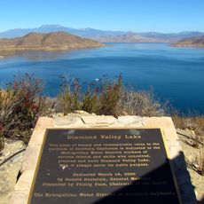
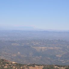
The Plains of Leon is a geographic plain system in Riverside County that encompasses multiple connected valleys including Domenigoni Valley, Western Diamond Valley, French Valley, and Auld Valley. The terrain extends from Paloma Valley in the west to the western edge of Diamond Valley Lake, with Tucalota Creek forming the southern boundary.

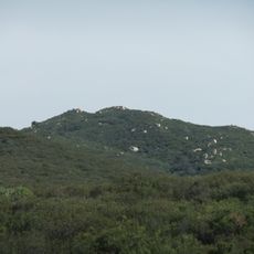
The area took its name from a gold mining settlement that operated in the central region during the 19th century. This early mining activity shaped human presence in the landscape and left traces of resource extraction in this flat terrain.

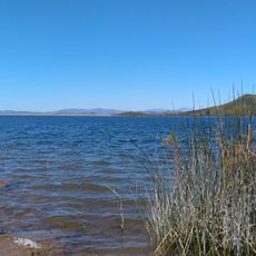
The drainage system of these plains differs from the Perris Plain, flowing into Murrieta Creek and the Santa Margarita River through various tributaries.

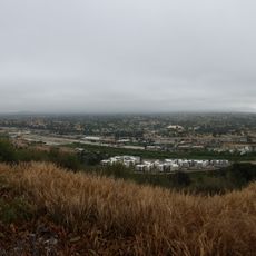
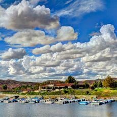
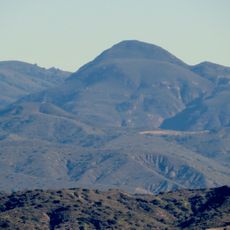
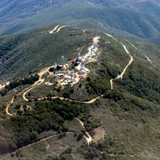
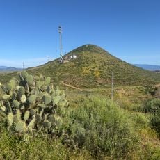
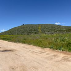
The flat terrain provides good sight lines for navigation and makes it easy to get oriented when exploring the different valleys. Water features like Skinner Reservoir serve as visible landmarks in this open landscape system.

The system has different drainage patterns than the neighboring Perris Plain and channels water through Murrieta Creek and the Santa Margarita River. This hydrological independence makes it a distinct watershed despite its geographic proximity to other plains.

The community of curious travelers

AroundUs brings together thousands of curated places, local tips, and hidden gems, enriched daily by 60,000 contributors worldwide.

Start exploring
GPS coordinates
33.62670,-117.13400
Latest update
December 14, 2025 09:41
Around this place
Show the full map
Reviews
Share your experience

No review yet

Discussions
Start a discussion...

No discussion yet

« Plains of Leon - Geographic plain system in Riverside County, California » is provided by Around Us (aroundus.com). Images and texts are derived from Wikimedia project under a Creative Commons license. You are allowed to copy, distribute, and modify copies of this page, under the conditions set by the license, as long as this note is clearly visible.

Discover hidden gems everywhere you go!

From secret cafés to breathtaking viewpoints, skip the crowded tourist spots and find places that match your style. Our app makes it easy with voice search, smart filtering, route optimization, and insider tips from travelers worldwide. Download now for the complete mobile experience.

Around Us App Screenshot

A unique approach to discovering new places

Le Figaro

All the places worth exploring

France Info

A tailor-made excursion in just a few clicks

20 Minutes

Around Us
Travel Guide & Maps
Download

Send to your phone

QR Code
1

Open the camera app on your mobile.

2

Point at the QR code with your camera. A notification will appear.

3

Tap the notification to open the link.