Hot Springs Mountain, Mountain summit in San Diego County, California
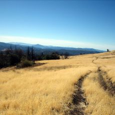
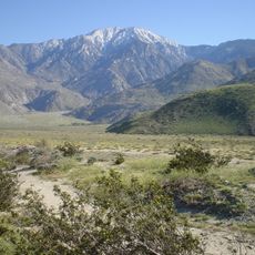
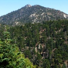
Hot Springs Mountain is a summit in San Diego County that rises to 1,980 feet (6,040 meters), standing as the highest point in the region. The peak offers sweeping views that extend across several neighboring counties on clear days.
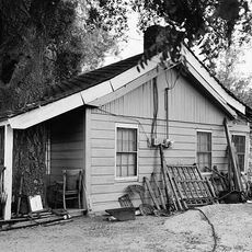
From 2010 to 2012, the mountain served Eagle Rock Training Center as a site for military exercises and preparation activities. This period left its mark on the trails and structures visitors encounter today.
This summit sits on land held by the Los Coyotes Band of Cahuilla and Cupeno Indians, whose presence shapes how visitors experience and move through the place. The mountain reflects the ongoing relationship between these communities and their ancestral territory.
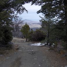
To reach the summit, visitors need to pay an entry fee at the campground before starting the hike along Sukat Road. The trail is clearly marked, though bringing plenty of water and sturdy footwear is important for the climb.
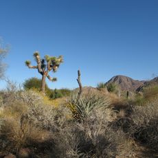
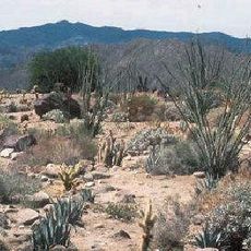
Jeffrey pines, ponderosa pines, white firs, incense cedars, and sugar pines grow together at the peak, forming a forest mix unusual for this elevation and location. This combination of conifers creates a landscape that feels quite different from the lower desert regions nearby.
The community of curious travelers
AroundUs brings together thousands of curated places, local tips, and hidden gems, enriched daily by 60,000 contributors worldwide.