Chest opened
+${chestReward.xp} XP
Explorer
NOUVEAU ×${chestReward.collectible.quantity}
tapez pour fermer
Chest locked

Open chests in the app

Around Us is built for your phone — chests unlock when you walk, explore and capture nearby places.

Enable Location

We need your location to show you interesting places around you

Discover nearby places

Find interesting locations and hidden gems around you

Precise directions

Get accurate directions and distances to places

Your location is never shared with other users. It's only used when you tap the location button.

Log in to your account

Start exploring — it's free

Trusted by 72,979 travelers worldwide

Continue with Google
Continue with Apple
or

We will send you a code to connect

By continuing, you accept our Terms and Conditions and our Privacy Policy

Check your inbox

We've sent a pincode in your inbox. Please enter the code below.

Barton Flats, California
Discussion Reviews Photo
1.8k Popularity

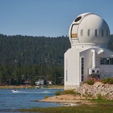
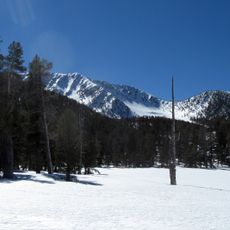
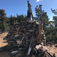
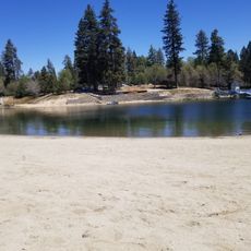
Barton Flats, California, Mountain campground and recreation area in San Bernardino National Forest, California.

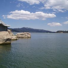
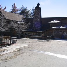
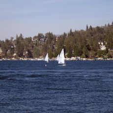
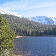
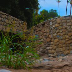
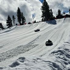
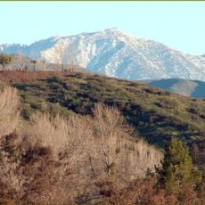
Barton Flats is a recreation area with multiple campsites at about 6,000 feet elevation in pine and oak forests near San Gorgonio Mountain. The facility features different lodging options situated among densely forested slopes.

The area was significantly affected by a major wildfire in June 2015 that started near Camp de Benneville Pines. The fire had substantial impacts on the surrounding region and changed the landscape of the recreation area.

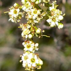
The on-site amphitheater presents talks about local wildlife and plants to visitors throughout the summer months. These programs help guests learn more about the ecology of the mountain forests and their inhabitants.

The campground has flush toilets, showers, and drinking water stations spread across the property. Both tent and RV camping options come equipped with tables and fire rings.

An important hiking trail called the South Fork Santa Ana River Trail begins at this location and will eventually connect the mountain region to the Pacific coast. This route offers hikers a long-distance pathway between highlands and sea.

The community of curious travelers

AroundUs brings together thousands of curated places, local tips, and hidden gems, enriched daily by 60,000 contributors worldwide.

Start exploring
GPS coordinates
34.17251,-116.86308
Latest update
December 14, 2025 12:28
Around this place
Cabazon Dinosaurs
United States of America

Cabazon Dinosaurs

29.3 km
San Gorgonio Mountain
United States of America

San Gorgonio Mountain

8.9 km
Big Bear Lake
United States of America

Big Bear Lake

13 km
CEDU
United States of America

CEDU

21.4 km
San Gorgonio Pass
United States of America

San Gorgonio Pass

30.3 km
Lake Arrowhead Reservoir
United States of America

Lake Arrowhead Reservoir

30.9 km
Sand to Snow National Monument
United States of America

Sand to Snow National Monument

19.6 km
Big Bear Solar Observatory
United States of America

Big Bear Solar Observatory

10.9 km
Kimberly Crest
United States of America

Kimberly Crest

32.2 km
San Gorgonio Wilderness
United States of America

San Gorgonio Wilderness

19.2 km
Mr. Rex Dinosaur Adventure
United States of America

Mr. Rex Dinosaur Adventure

29.2 km
Lake Arrowhead Village Beach
United States of America

Lake Arrowhead Village Beach

31.3 km
Alpine Slide
United States of America

Alpine Slide

9 km
Big Bear Discovery Center
United States of America

Big Bear Discovery Center

10.8 km
Mill Creek Zanja
United States of America

Mill Creek Zanja

26.9 km
Redlands Santa Fe Depot District
United States of America

Redlands Santa Fe Depot District

32.1 km
Big Bear Snow Play
United States of America

Big Bear Snow Play

9.6 km
Gilman Ranch
United States of America

Gilman Ranch

26.2 km
Goode Solar Telescope
United States of America

Goode Solar Telescope

10.9 km
Auerbacher Home
United States of America

Auerbacher Home

31.4 km
Jepson Peak
United States of America

Jepson Peak

7.9 km
Highland Historic District
United States of America

Highland Historic District

32.2 km
Henry Washington Survey Marker
United States of America

Henry Washington Survey Marker

8.4 km
Arboreto Heaps Peak
United States of America

Arboreto Heaps Peak

26.5 km
Yucaipa Regional Park
United States of America

Yucaipa Regional Park

21.6 km
Keller Peak Lookout
United States of America

Keller Peak Lookout

17.4 km
Tavern Bay Beach
United States of America

Tavern Bay Beach

31.4 km
Morongo's Oasis Beach
United States of America

Morongo's Oasis Beach

28.5 km
Show the full map
Reviews
Share your experience

No review yet

Discussions
Start a discussion...

No discussion yet

« Barton Flats, California - Mountain campground and recreation area in San Bernardino National Forest, California » is provided by Around Us (aroundus.com). Images and texts are derived from Wikimedia project under a Creative Commons license. You are allowed to copy, distribute, and modify copies of this page, under the conditions set by the license, as long as this note is clearly visible.

Discover hidden gems everywhere you go!

From secret cafés to breathtaking viewpoints, skip the crowded tourist spots and find places that match your style. Our app makes it easy with voice search, smart filtering, route optimization, and insider tips from travelers worldwide. Download now for the complete mobile experience.

Around Us App Screenshot

A unique approach to discovering new places

Le Figaro

All the places worth exploring

France Info

A tailor-made excursion in just a few clicks

20 Minutes

Around Us
Travel Guide & Maps
Download

Send to your phone

QR Code
1

Open the camera app on your mobile.

2

Point at the QR code with your camera. A notification will appear.

3

Tap the notification to open the link.