Chest opened
+${chestReward.xp} XP
Explorer
NOUVEAU ×${chestReward.collectible.quantity}
tapez pour fermer

See the monuments around you in AR Open chests in the app

Around Us is built for your phone — point your camera at the streets and discover the monuments and places around you in augmented reality. Around Us is built for your phone — chests unlock when you walk, explore and capture nearby places.

Enable Location

We need your location to show you interesting places around you

Discover nearby places

Find interesting locations and hidden gems around you

Precise directions

Get accurate directions and distances to places

Your location is never shared with other users. It's only used when you tap the location button.

Log in to your account

Start exploring — it's free

Trusted by 87,139 travelers worldwide

Continue with Google
Continue with Apple
or

We will send you a code to connect

By continuing, you accept our Terms and Conditions and our Privacy Policy

Check your inbox

We've sent a pincode in your inbox. Please enter the code below.

Discussion Reviews Photo
1.3k Popularity

Soboba Luiseño Band, Indigenous reservation in San Jacinto, United States

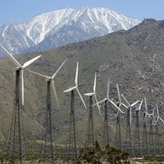
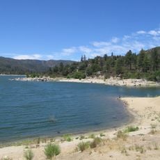
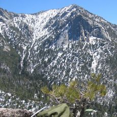
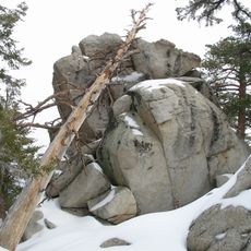
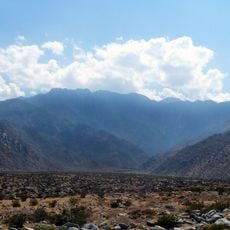
The Soboba Reservation is the home territory of the Luiseño Band in San Jacinto, California, with varied landscapes near Mount San Jacinto. The land encompasses community sites and areas for cultural gatherings and daily activities.

The Luiseño originated in this region long before European arrival and were later influenced during the mission period. The federal government created the reservation in 1883 as a recognized territory for the people.

The Luiseño community here maintains its connection to the land and traditions through gatherings where music and crafts pass from one generation to the next. You can observe how these practices remain alive in daily life and shape the community's identity.

Visitors can take guided tours through the territory and attend events that the community opens to the public. It helps to ask ahead about scheduled gatherings and accessible areas, since not all parts of the reservation are open at all times.

The reservation operates self-governed economic projects that fund the community while preserving self-determination. These ventures demonstrate how the Luiseño balance traditional values with modern needs through their own independence.

The community of curious travelers

AroundUs brings together thousands of curated places, local tips, and hidden gems, enriched daily by 60,000 contributors worldwide.
Start exploring
Location
San Jacinto
GPS coordinates
33.78148,-116.88493
Latest update
September 11, 2026 23:27
Around this place
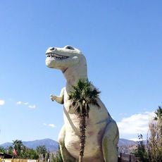
Cabazon Dinosaurs
United States of America

Cabazon Dinosaurs

11.5 mi
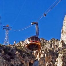
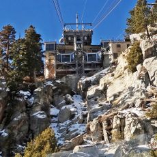
Palm Springs Aerial Tramway
United States of America

Palm Springs Aerial Tramway

15.2 mi
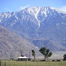
San Jacinto Peak
United States of America

San Jacinto Peak

12 mi
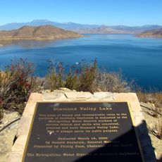
Diamond Valley Lake
United States of America

Diamond Valley Lake

11 mi
San Gorgonio Pass
United States of America

San Gorgonio Pass

12.1 mi
Lake Hemet
United States of America

Lake Hemet

13.4 mi
Tahquitz Peak
United States of America

Tahquitz Peak

12.1 mi
Mount San Jacinto State Park
United States of America

Mount San Jacinto State Park

12.6 mi
Mr. Rex Dinosaur Adventure
United States of America

Mr. Rex Dinosaur Adventure

11.6 mi
Otay Mountain Wilderness
United States of America

Otay Mountain Wilderness

83.2 mi
Hemet Maze Stone
United States of America

Hemet Maze Stone

9.9 mi
Skinner Reservoir
United States of America

Skinner Reservoir

16.6 mi
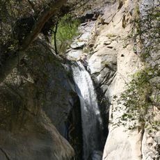
Tahquitz Falls
United States of America

Tahquitz Falls

18.6 mi
Palm Springs Aerial Tramway Mountain Station
United States of America

Palm Springs Aerial Tramway Mountain Station

14.3 mi
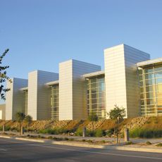
Western Science Center
United States of America

Western Science Center

8.1 mi
Chino Canyon
United States of America

Chino Canyon

18.9 mi
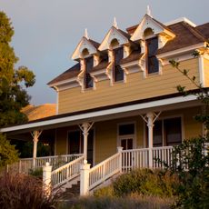
Gilman Ranch
United States of America

Gilman Ranch

11 mi
Yokoji Zen Mountain Center
United States of America

Yokoji Zen Mountain Center

13.9 mi
James Reserve
United States of America

James Reserve

6.4 mi
United States of America

Double Butte

14.3 mi
Bell Mountain
United States of America

Bell Mountain

17.5 mi
Long Valley Ranger Station
United States of America

Long Valley Ranger Station

14.1 mi
Motte Historical Car Museum
United States of America

Motte Historical Car Museum

16.3 mi
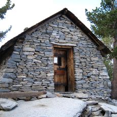
Peak Shelter Cabin
United States of America

Peak Shelter Cabin

12.1 mi
Perris Beach
United States of America

Perris Beach

18.4 mi
Moreno Beach
United States of America

Moreno Beach

17.6 mi
Mount San Jacinto State Park Historic District
United States of America

Mount San Jacinto State Park Historic District

12.1 mi
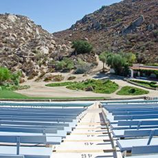
Ramona Bowl Amphitheatre
United States of America

Ramona Bowl Amphitheatre

5.7 mi
Show the full map
Reviews
Share your experience

No review yet

Discussions
Start a discussion...

No discussion yet

« Soboba Luiseño Band - Indigenous reservation in San Jacinto, United States » is provided by Around Us (aroundus.com). Images and texts are derived from Wikimedia project under a Creative Commons license. You are allowed to copy, distribute, and modify copies of this page, under the conditions set by the license, as long as this note is clearly visible.

Discover hidden gems everywhere you go!

From secret cafés to breathtaking viewpoints, skip the crowded tourist spots and find places that match your style. Our app makes it easy with voice search, smart filtering, route optimization, and insider tips from travelers worldwide. Download now for the complete mobile experience.
Around Us App Screenshot

A unique approach to discovering new places

Le Figaro

All the places worth exploring

France Info

A tailor-made excursion in just a few clicks

20 Minutes

Around Us
Travel Guide & Maps
Download

Send to your phone

QR Code
1

Open the camera app on your mobile.

2

Point at the QR code with your camera. A notification will appear.

3

Tap the notification to open the link.