Chest opened
+${chestReward.xp} XP
Explorer
NOUVEAU ×${chestReward.collectible.quantity}
tapez pour fermer
Chest locked

Open chests in the app

Around Us is built for your phone — chests unlock when you walk, explore and capture nearby places.

Enable Location

We need your location to show you interesting places around you

Discover nearby places

Find interesting locations and hidden gems around you

Precise directions

Get accurate directions and distances to places

Your location is never shared with other users. It's only used when you tap the location button.

Marine Corps Air Ground Combat Center Twentynine Palms

Log in to your account

Start exploring — it's free

Trusted by 73,084 travelers worldwide

Continue with Google
Continue with Apple
or

We will send you a code to connect

By continuing, you accept our Terms and Conditions and our Privacy Policy

Check your inbox

We've sent a pincode in your inbox. Please enter the code below.

Marine Corps Air Ground Combat Center Twentynine Palms
Discussion Reviews 2 Photos
85.9k Popularity

Marine Corps Air Ground Combat Center Twentynine Palms, Military training base in southern San Bernardino County, California, USA.

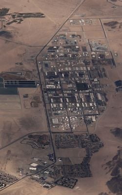
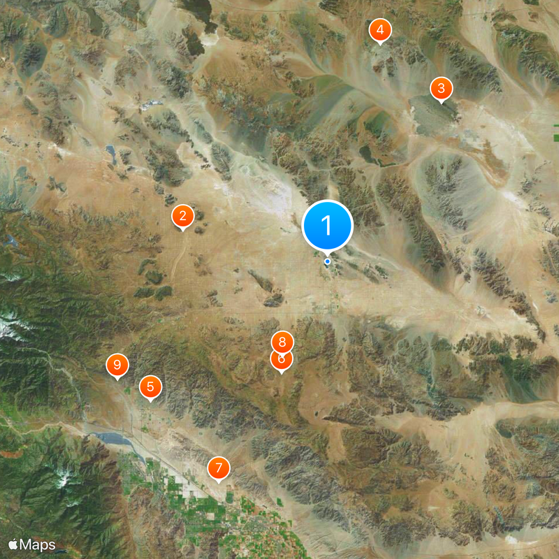
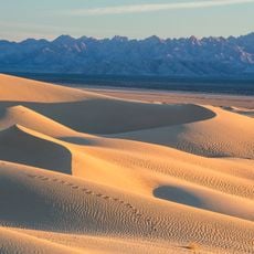
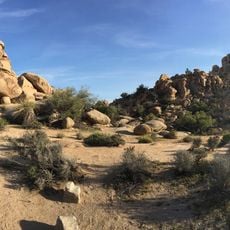
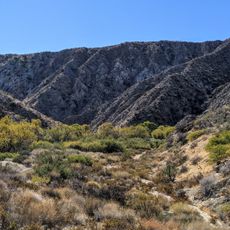
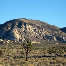
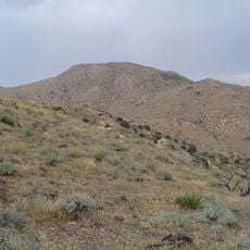
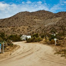
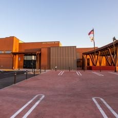
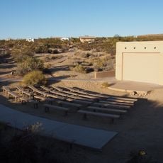
Marine Corps Air Ground Combat Center Twentynine Palms is a military training facility in southern San Bernardino County, California, covering roughly 1000 square miles of desert landscape. The installation uses open terrain with firing ranges and exercise areas designed for tactical maneuvers and combined operations.

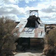
The facility was established in 1952 and evolved from an earlier naval air station into a full training center. Over the decades, the grounds expanded several times to meet growing requirements for complex military exercises.

The base maintains specialized training programs including Mojave Viper, preparing military units for combat operations in desert environments.

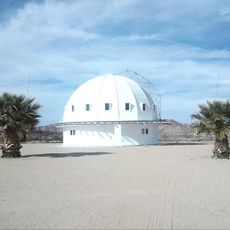
Access to the grounds is restricted and requires military clearance, as exercises take place throughout the year. Visitors are advised to check in advance whether any public areas or events are available.

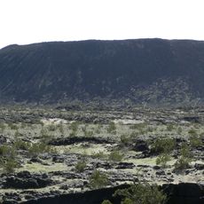
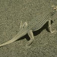
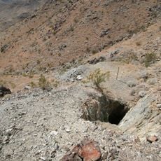
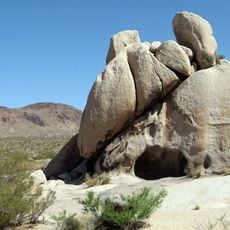
The desert terrain includes traces of past volcanic activity and dry lakebeds that now serve as part of the training grounds. Elevation changes range from about 1800 to 4500 feet (550 to 1370 meters), creating shifting climate conditions across the site.

The community of curious travelers

AroundUs brings together thousands of curated places, local tips, and hidden gems, enriched daily by 60,000 contributors worldwide.

Start exploring
Location
Inception
1952
GPS coordinates
34.23167,-116.06167
Latest update
December 13, 2025 16:07
Around this place
Integratron
United States of America

Integratron

32.2 km
Amboy Crater
United States of America

Amboy Crater

42.7 km
Mojave Trails National Monument
United States of America

Mojave Trails National Monument

48.9 km
Cabot's Pueblo Museum
United States of America

Cabot's Pueblo Museum

49.3 km
Hidden Valley
United States of America

Hidden Valley

26.2 km
Coachella Valley National Wildlife Refuge
United States of America

Coachella Valley National Wildlife Refuge

53.8 km
Keys Desert Queen Ranch
United States of America

Keys Desert Queen Ranch

22.9 km
Big Morongo Canyon Preserve
United States of America

Big Morongo Canyon Preserve

52.5 km
Desert Queen Mine
United States of America

Desert Queen Mine

23.1 km
Ryan Mountain
United States of America

Ryan Mountain

28.2 km
Wall Street Mill
United States of America

Wall Street Mill

22.7 km
Fortynine Palms Oasis
United States of America

Fortynine Palms Oasis

14.6 km
Quail Mountain
United States of America

Quail Mountain

30 km
Desert Christ Park
United States of America

Desert Christ Park

36.7 km
Malapai Hill
United States of America

Malapai Hill

32.6 km
Cow Camp
United States of America

Cow Camp

23.7 km
United States of America

Eureka Peak

34.6 km
Ryan House and Lost Horse Well
United States of America

Ryan House and Lost Horse Well

28.7 km
Ruby Lee Mill Site
United States of America

Ruby Lee Mill Site

48.9 km
World Famous Crochet Museum
United States of America

World Famous Crochet Museum

25.6 km
Hi-Desert Nature Museum
United States of America

Hi-Desert Nature Museum

34.9 km
Joshua Tree National Park Visitor Center
United States of America

Joshua Tree National Park Visitor Center

10.8 km
Classic Club
United States of America

Classic Club

56.1 km
Joshua Tree Visitor Center
United States of America

Joshua Tree Visitor Center

25.8 km
Cottonwood Visitor Center
United States of America

Cottonwood Visitor Center

58.1 km
Black Rock Nature Center
United States of America

Black Rock Nature Center

35.1 km
Beauty Bubble Salon and Museum
United States of America

Beauty Bubble Salon and Museum

25.6 km
Cottonwood Campground Amphitheater
United States of America

Cottonwood Campground Amphitheater

58.9 km
Show the full map
Reviews
Share your experience

No review yet

Discussions
Start a discussion...

No discussion yet

« Marine Corps Air Ground Combat Center Twentynine Palms - Military training base in southern San Bernardino County, California, USA » is provided by Around Us (aroundus.com). Images and texts are derived from Wikimedia project under a Creative Commons license. You are allowed to copy, distribute, and modify copies of this page, under the conditions set by the license, as long as this note is clearly visible.

Discover hidden gems everywhere you go!

From secret cafés to breathtaking viewpoints, skip the crowded tourist spots and find places that match your style. Our app makes it easy with voice search, smart filtering, route optimization, and insider tips from travelers worldwide. Download now for the complete mobile experience.

Around Us App Screenshot

A unique approach to discovering new places

Le Figaro

All the places worth exploring

France Info

A tailor-made excursion in just a few clicks

20 Minutes

Around Us
Travel Guide & Maps
Download

Send to your phone

QR Code
1

Open the camera app on your mobile.

2

Point at the QR code with your camera. A notification will appear.

3

Tap the notification to open the link.