Chest opened
+${chestReward.xp} XP
Explorer
NOUVEAU ×${chestReward.collectible.quantity}
tapez pour fermer

See the monuments around you in AR Open chests in the app

Around Us is built for your phone — point your camera at the streets and discover the monuments and places around you in augmented reality. Around Us is built for your phone — chests unlock when you walk, explore and capture nearby places.

•

Enable Location

We need your location to show you interesting places around you

Discover nearby places

Find interesting locations and hidden gems around you

Precise directions

Get accurate directions and distances to places

Your location is never shared with other users. It's only used when you tap the location button.

Mojave Trails National Monument

Log in to your account

Start exploring — it's free

Trusted by 93,845 travelers worldwide

Continue with Google
Continue with Apple
or

We will send you a code to connect

By continuing, you accept our Terms and Conditions and our Privacy Policy

Check your inbox

We've sent a pincode in your inbox. Please enter the code below.

Mojave Trails National Monument, Nature reserve in California, US.

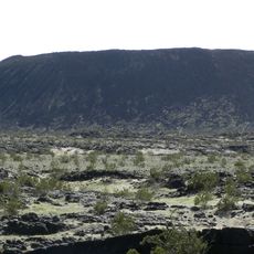
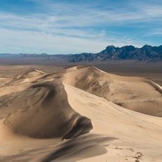
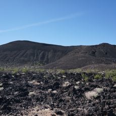
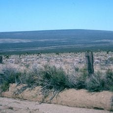
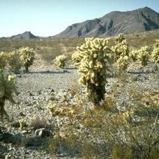
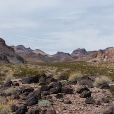
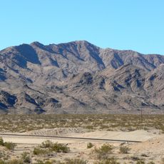
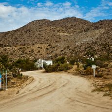
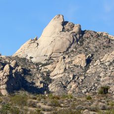
Mojave Trails National Monument is a 1.6-million-acre national monument in San Bernardino County, southeastern California, between Interstates 15 and 40. It borders the Mojave National Preserve to the north and Joshua Tree National Park to the south, and is administered by the Bureau of Land Management. Its terrain mixes desert mountain ranges, ancient lava flows, and sand dunes such as the orange-pink Cadiz Dunes.

President Barack Obama designated Mojave Trails National Monument on February 12, 2016, together with Castle Mountains and Sand to Snow, under Bureau of Land Management administration. The designation covered about 1.6 million acres, of which 350,000 acres were already wilderness. People have lived in the area for more than 10,000 years; in 1829 the Mexican explorer Antonio Armijo laid out the Old Spanish Trail through it, and from 1942 to 1944 over a million soldiers trained at camps such as Ibis and Iron Mountain.

The monument contains preserved sections of Route 66 and ancient Native American trading routes that are still visible in the landscape. These paths show how people have moved through and used this land over many generations.

Visitors should bring a high-clearance vehicle since many roads are rough and require four-wheel drive for access. Water is essential to carry in abundance, as reliable water sources are scarce throughout the monument.

The Trilobite Wilderness Area within the monument is named for trilobites, but the monument's documented paleontological sites are not described in the sources as containing fossils of these animals. The name refers to a designated wilderness area rather than a fossil bed visitors can inspect.

The community of curious travelers

AroundUs brings together thousands of curated places, local tips, and hidden gems, enriched daily by 93,845 contributors worldwide.

Start exploring
Operator
BLM
GPS coordinates
34.65817,-115.93584
Latest update
October 24, 2026 12:29
Around this place
Integratron
United States of America

Integratron

36.7 mi
United States of America

AN/URC-117 Ground Wave Emergency Network

40.6 mi
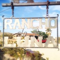
Rancho De La Luna
United States of America

Rancho De La Luna

42.1 mi
Amboy Crater
United States of America

Amboy Crater

11.4 mi
Kelso Dunes
United States of America

Kelso Dunes

19.8 mi
Pisgah Crater
United States of America

Pisgah Crater

25.7 mi
Mitchell Caverns
United States of America

Mitchell Caverns

30.9 mi
Lavic Lake volcanic field
United States of America

Lavic Lake volcanic field

25.7 mi
Grapevine Canyon Petroglyphs
United States of America

Grapevine Canyon Petroglyphs

81.1 mi
Cima Dome & Volcanic Field National Natural Landmark
United States of America

Cima Dome & Volcanic Field National Natural Landmark

42.3 mi
Old Woman meteorite
United States of America

Old Woman meteorite

40.7 mi
Old Woman Mountains Wilderness
United States of America

Old Woman Mountains Wilderness

44.4 mi
Keys Desert Queen Ranch
United States of America

Keys Desert Queen Ranch

44.4 mi
Providence Mountains State Recreation Area
United States of America

Providence Mountains State Recreation Area

31.5 mi
Bigelow Cholla Garden Wilderness
United States of America

Bigelow Cholla Garden Wilderness

60.7 mi
Clipper Mountain Wilderness
United States of America

Clipper Mountain Wilderness

30 mi
Dead Mountains
United States of America

Dead Mountains

72 mi
Turtle Mountains
United States of America

Turtle Mountains

67 mi
United States of America

Bridge Canyon Wilderness

80.6 mi
Desert Christ Park
United States of America

Desert Christ Park

46.6 mi
Grapevine Canyon
United States of America

Grapevine Canyon

81.1 mi
United States of America

Alexey W. Von Schmidt

76.4 mi
Goffs Schoolhouse
United States of America

Goffs Schoolhouse

53.2 mi
World Famous Crochet Museum
United States of America

World Famous Crochet Museum

42.2 mi
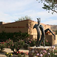
Hi-Desert Nature Museum
United States of America

Hi-Desert Nature Museum

46.1 mi
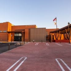
Joshua Tree National Park Visitor Center
United States of America

Joshua Tree National Park Visitor Center

36.9 mi
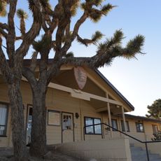
Joshua Tree Visitor Center
United States of America

Joshua Tree Visitor Center

42.2 mi
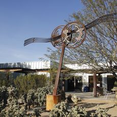
Black Rock Nature Center
United States of America

Black Rock Nature Center

48.1 mi
Show the full map
Reviews
Share your experience

No review yet

Discussions
Start a discussion...

No discussion yet

« Mojave Trails National Monument - Nature reserve in California, US » is provided by Around Us (aroundus.com). Images and texts are derived from Wikimedia project under a Creative Commons license. You are allowed to copy, distribute, and modify copies of this page, under the conditions set by the license, as long as this note is clearly visible.

Discover hidden gems everywhere you go!

From secret cafés to breathtaking viewpoints, skip the crowded tourist spots and find places that match your style. Our app makes it easy with voice search, smart filtering, route optimization, and insider tips from travelers worldwide. Download now for the complete mobile experience.

Around Us App Screenshot
❝

A unique approach to discovering new places❞

— Le Figaro

❝

All the places worth exploring❞

— France Info

❝

A tailor-made excursion in just a few clicks❞

— 20 Minutes

Around Us
Travel Guide & Maps
Download

Send to your phone

QR Code
1

Open the camera app on your mobile.

2

Point at the QR code with your camera. A notification will appear.

3

Tap the notification to open the link.