Chest opened
+${chestReward.xp} XP
Explorer
NOUVEAU ×${chestReward.collectible.quantity}
tapez pour fermer
Chest locked

Open chests in the app

Around Us is built for your phone — chests unlock when you walk, explore and capture nearby places.

Enable Location

We need your location to show you interesting places around you

Discover nearby places

Find interesting locations and hidden gems around you

Precise directions

Get accurate directions and distances to places

Your location is never shared with other users. It's only used when you tap the location button.

Santa Cruz River

Log in to your account

Start exploring — it's free

Trusted by 72,961 travelers worldwide

Continue with Google
Continue with Apple
or

We will send you a code to connect

By continuing, you accept our Terms and Conditions and our Privacy Policy

Check your inbox

We've sent a pincode in your inbox. Please enter the code below.

Santa Cruz River
Discussion Reviews 1 Photos
17.5k Popularity

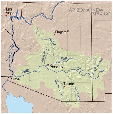
Santa Cruz River, River system in southern Arizona, United States.

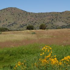
The Santa Cruz River is a major water system flowing through southern Arizona and northern Mexico. It originates in the San Rafael Valley and travels northward before joining the Gila River, passing through diverse landscapes and communities along its path.

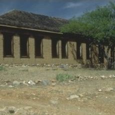
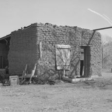
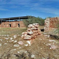
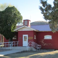
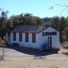
Indigenous communities relied on the river for thousands of years before Spanish colonizers arrived in the 1600s and established missions along its banks. The colonial period brought irrigation agriculture and permanent settlements that transformed the region.

Native American peoples shaped the landscape by building irrigation systems and villages near the water over many centuries. Today you can sense this heritage at sites along the river where these communities once thrived.

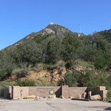
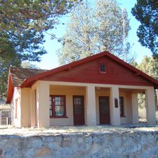
You can access the river at various points, especially in Tucson and near Tumacacori National Historical Park where walking trails and overlooks are available. Plan your visit during cooler months since summer heat in the region can be quite intense.

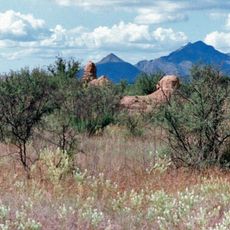
The river crosses the United States-Mexico border twice, flowing south into Sonora before turning back north into Arizona. Few rivers in North America have this distinctive international pattern where they move back and forth across a border.

The community of curious travelers

AroundUs brings together thousands of curated places, local tips, and hidden gems, enriched daily by 60,000 contributors worldwide.

Start exploring
Location
GPS coordinates
31.48611,-110.65222
Latest update
December 7, 2025 19:24
Around this place
Fort Huachuca
United States of America

Fort Huachuca

29.7 km
Mount Wrightson
United States of America

Mount Wrightson

29.9 km
MMT Observatory
United States of America

MMT Observatory

31.5 km
Patagonia Lake State Park
United States of America

Patagonia Lake State Park

19.2 km
San Rafael Ranch
United States of America

San Rafael Ranch

15.2 km
Fred Lawrence Whipple Observatory
United States of America

Fred Lawrence Whipple Observatory

30.5 km
Fort Buchanan
United States of America

Fort Buchanan

19.8 km
Kentucky Camp
United States of America

Kentucky Camp

28.8 km
Mount Hopkins
United States of America

Mount Hopkins

31.6 km
Guevavi Mission
United States of America

Guevavi Mission

25.3 km
Nogales-Morley Gate Port of Entry
United States of America

Nogales-Morley Gate Port of Entry

32.4 km
Pete Kitchen Ranch
United States of America

Pete Kitchen Ranch

30.2 km
Calabazas Mission
United States of America

Calabazas Mission

29.4 km
Infrared Optical Telescope Array
United States of America

Infrared Optical Telescope Array

31.8 km
The Little Outfit Schoolhouse
United States of America

The Little Outfit Schoolhouse

7.5 km
Canelo Hills Cienega Reserve
United States of America

Canelo Hills Cienega Reserve

14.7 km
Little Red Schoolhouse
United States of America

Little Red Schoolhouse

23.6 km
Canelo School
United States of America

Canelo School

14.8 km
Canelo Ranger Station
United States of America

Canelo Ranger Station

14.8 km
Cady Hall
United States of America

Cady Hall

11.3 km
James Finley House
United States of America

James Finley House

5.6 km
United States Post Office and Immigration Station–Nogales Main
United States of America

United States Post Office and Immigration Station–Nogales Main

31.7 km
Santa Cruz County Courthouse
United States of America

Santa Cruz County Courthouse

31.8 km
Sen. James A. Harrison House
United States of America

Sen. James A. Harrison House

31.6 km
US Custom House
United States of America

US Custom House

32.4 km
W.G. Bowman House
United States of America

W.G. Bowman House

31.4 km
George Dunbar House
United States of America

George Dunbar House

31.3 km
Frank F. Cranz House
United States of America

Frank F. Cranz House

31.9 km
Show the full map
Reviews
Share your experience

No review yet

Discussions
Start a discussion...

No discussion yet

« Santa Cruz River - River system in southern Arizona, United States » is provided by Around Us (aroundus.com). Images and texts are derived from Wikimedia project under a Creative Commons license. You are allowed to copy, distribute, and modify copies of this page, under the conditions set by the license, as long as this note is clearly visible.

Discover hidden gems everywhere you go!

From secret cafés to breathtaking viewpoints, skip the crowded tourist spots and find places that match your style. Our app makes it easy with voice search, smart filtering, route optimization, and insider tips from travelers worldwide. Download now for the complete mobile experience.

Around Us App Screenshot

A unique approach to discovering new places

Le Figaro

All the places worth exploring

France Info

A tailor-made excursion in just a few clicks

20 Minutes

Around Us
Travel Guide & Maps
Download

Send to your phone

QR Code
1

Open the camera app on your mobile.

2

Point at the QR code with your camera. A notification will appear.

3

Tap the notification to open the link.