Chest opened
+${chestReward.xp} XP
Explorer
NOUVEAU ×${chestReward.collectible.quantity}
tapez pour fermer

See the monuments around you in AR Open chests in the app

Around Us is built for your phone — point your camera at the streets and discover the monuments and places around you in augmented reality. Around Us is built for your phone — chests unlock when you walk, explore and capture nearby places.

Enable Location

We need your location to show you interesting places around you

Discover nearby places

Find interesting locations and hidden gems around you

Precise directions

Get accurate directions and distances to places

Your location is never shared with other users. It's only used when you tap the location button.

Mount Hopkins

Log in to your account

Start exploring — it's free

Trusted by 86,947 travelers worldwide

Continue with Google
Continue with Apple
or

We will send you a code to connect

By continuing, you accept our Terms and Conditions and our Privacy Policy

Check your inbox

We've sent a pincode in your inbox. Please enter the code below.

Mount Hopkins
Discussion Reviews 1 Photos
4.2k Popularity

Mount Hopkins, Mountain summit in Santa Rita Mountains, Arizona, USA

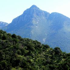
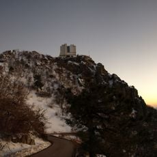
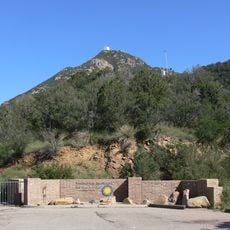
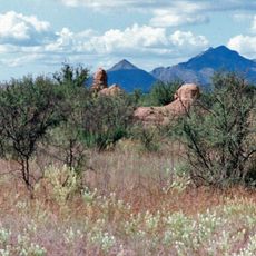
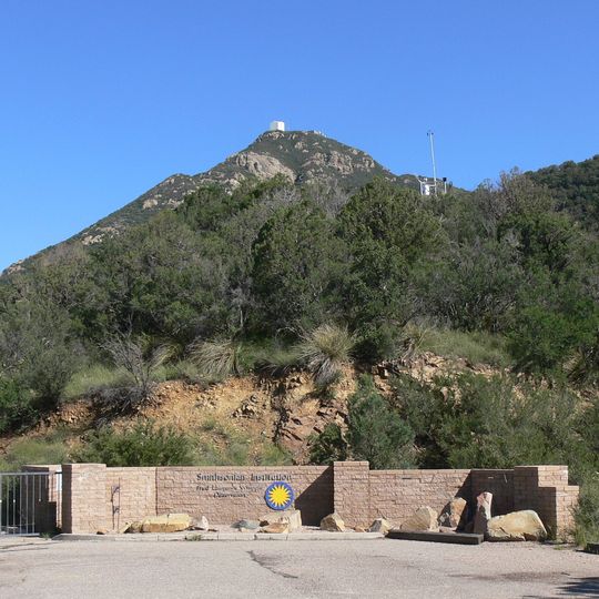
Mount Hopkins is a mountain in the Santa Rita Mountains that rises to about 2,600 meters and is surrounded by dense desert forest within Coronado National Forest. The slopes drop steeply and show the typical vegetation of the higher desert region.

The mountain was named after Gilbert Hopkins, who died in the Battle of Fort Buchanan in 1865. This naming honors an early settler and soldier from the era of frontier military posts in Arizona.

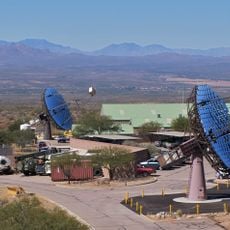
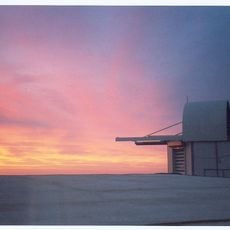
The Fred Lawrence Whipple Observatory on Mount Hopkins conducts research in astronomy through multiple advanced telescope installations.

Access is via Elephant Head Road, which becomes a gravel road and continues about 8 miles to the observatory gate. The route requires a reliable vehicle and should be avoided in bad weather.

The Fred Lawrence Whipple Observatory on the summit operates one of the most important telescope systems for studying gamma-ray bursts and comets. The advanced telescopes here use specialized technology to correct for atmospheric distortion and enable precise astronomical observations.

The community of curious travelers

AroundUs brings together thousands of curated places, local tips, and hidden gems, enriched daily by 60,000 contributors worldwide.
Start exploring
Location
Elevation above the sea
2,616 m
GPS coordinates
31.68906,-110.88470
Latest update
September 11, 2026 23:33
Around this place
Titan Missile Museum
United States of America

Titan Missile Museum

16.2 mi
Madera Canyon
United States of America

Madera Canyon

4.9 mi
Empire Ranch
United States of America

Empire Ranch

15.8 mi
Tumacácori National Historical Park
United States of America

Tumacácori National Historical Park

12.5 mi
Mount Wrightson
United States of America

Mount Wrightson

2.2 mi
VERITAS
United States of America

VERITAS

4.1 mi
MMT Observatory
United States of America

MMT Observatory

290 ft
Patagonia Lake State Park
United States of America

Patagonia Lake State Park

13.6 mi
Fred Lawrence Whipple Observatory
United States of America

Fred Lawrence Whipple Observatory

0.7 mi
Fort Buchanan
United States of America

Fort Buchanan

10.7 mi
Tumacácori Mission
United States of America

Tumacácori Mission

12.8 mi
Kentucky Camp
United States of America

Kentucky Camp

9.8 mi
Tubac Presidio State Historic Park
United States of America

Tubac Presidio State Historic Park

10.9 mi
Las Cienegas National Conservation Area
United States of America

Las Cienegas National Conservation Area

17.7 mi
Guevavi Mission
United States of America

Guevavi Mission

19.3 mi
Tucson ring meteorite
United States of America

Tucson ring meteorite

12.1 mi
Tubac Presidio
United States of America

Tubac Presidio

10.9 mi
Pete Kitchen Ranch
United States of America

Pete Kitchen Ranch

20.3 mi
Calabazas Mission
United States of America

Calabazas Mission

16.9 mi
Infrared Optical Telescope Array
United States of America

Infrared Optical Telescope Array

0.2 mi
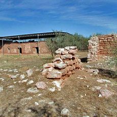
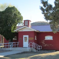
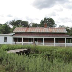
Little Red Schoolhouse
United States of America

Little Red Schoolhouse

20.8 mi
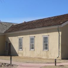
Cady Hall
United States of America

Cady Hall

13 mi
James Finley House
United States of America

James Finley House

18.8 mi
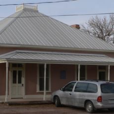
Old Tubac Schoolhouse
United States of America

Old Tubac Schoolhouse

10.9 mi
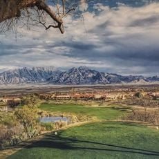
San Ignacio Golf Club
United States of America

San Ignacio Golf Club

11.5 mi
Tubac Presidio State Historic Park
United States of America

Tubac Presidio State Historic Park

11 mi
Tumacácori Museum
United States of America

Tumacácori Museum

12.9 mi
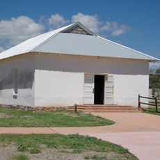
Otero Hall
United States of America

Otero Hall

10.9 mi
Show the full map
Reviews
Share your experience

No review yet

Discussions
Start a discussion...

No discussion yet

« Mount Hopkins - Mountain summit in Santa Rita Mountains, Arizona, USA » is provided by Around Us (aroundus.com). Images and texts are derived from Wikimedia project under a Creative Commons license. You are allowed to copy, distribute, and modify copies of this page, under the conditions set by the license, as long as this note is clearly visible.

Discover hidden gems everywhere you go!

From secret cafés to breathtaking viewpoints, skip the crowded tourist spots and find places that match your style. Our app makes it easy with voice search, smart filtering, route optimization, and insider tips from travelers worldwide. Download now for the complete mobile experience.
Around Us App Screenshot

A unique approach to discovering new places

Le Figaro

All the places worth exploring

France Info

A tailor-made excursion in just a few clicks

20 Minutes

Around Us
Travel Guide & Maps
Download

Send to your phone

QR Code
1

Open the camera app on your mobile.

2

Point at the QR code with your camera. A notification will appear.

3

Tap the notification to open the link.