Las Cienegas National Conservation Area, Nature reserve in Santa Cruz County, United States.
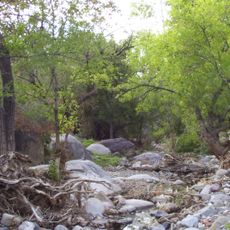
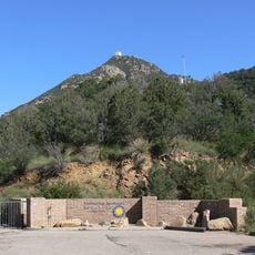
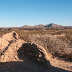
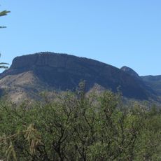
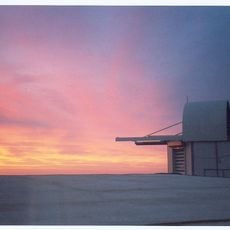
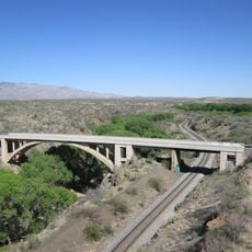
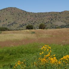
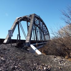
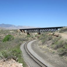
Las Cienegas National Conservation Area is a nature reserve in Santa Cruz County, southern Arizona, made up of open grasslands, oak woodlands, and rolling hills crossed by a creek that flows year-round. The land sits in a transition zone between desert and mountain terrain, so the scenery shifts noticeably depending on the direction you walk.
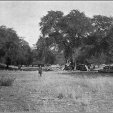
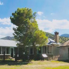
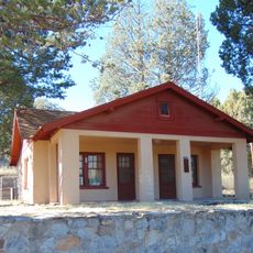
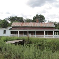
In the late 1800s, the Empire Ranch was established here and ran as a working cattle operation for well over a century. That long history of grazing shaped the condition of the soil and the vegetation that visitors walk through today.
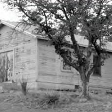
Native American archaeological sites are scattered across the land and remain visible to visitors today. Decades later, Hollywood film crews used the open grasslands as a backdrop for Western productions, and some of those filming locations can still be recognized while walking the trails.
Spring and fall offer the most comfortable temperatures for walking and riding, while summer heat can be intense, so early morning starts are a good idea. Carry plenty of water regardless of the season, as shade is sparse across the open grassland sections.
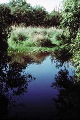
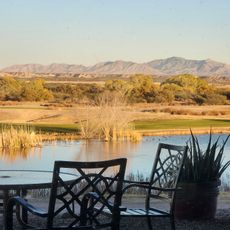
The area shelters some of the rarest wetlands in the American Southwest, including true ciénegas, which are spring-fed marshy meadows that have nearly disappeared from the region. The name of the reserve itself comes directly from this rare landform.
The community of curious travelers
AroundUs brings together thousands of curated places, local tips, and hidden gems, enriched daily by 60,000 contributors worldwide.