Log in to your account

AroundUs is a community-driven map of interesting places, built by curious explorers like you. It grows with every review, story, and photo you share.
Connect to save your favorite spots, contribute locations, and create personalized routes.
Continue with Google
Continue with Apple
Continue with X
Continue with Facebook
Continue with email
By continuing, you accept our Terms and Conditions and our Privacy Policy
Create an account
Add to collection
Map
Suggest a change
Share

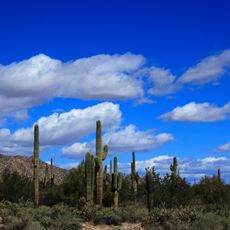
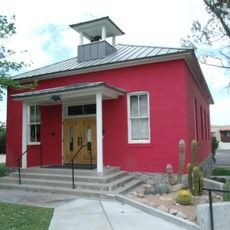
Tonopah, Census-designated place in western Maricopa County, Arizona.

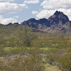
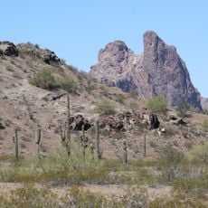
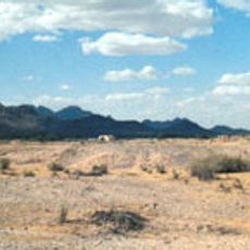
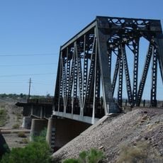
Tonopah is a rural settlement in the desert west of Phoenix in Maricopa County, stretching across a large area with scattered homes. The community sits along Interstate 10 and contains around 2,600 housing units within its territory.

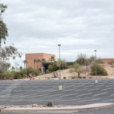
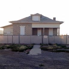
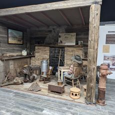
The settlement began as Lone Peak and later established a post office under postmaster John Beauchamp, whose house ruins mark the early days of habitation. The area eventually developed into the community known today.

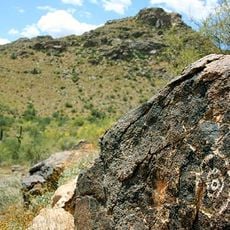
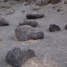
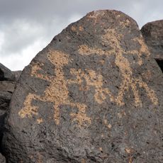
The area holds archaeological evidence of Hohokam, Patayan, and Yavapai peoples who gathered resources from this land before modern settlement.

The area is sparsely populated with homes spread far apart, so having a vehicle is essential to move around and access different sections. Sturdy footwear is helpful if you want to explore the flat desert landscape on foot.

A major nuclear power plant operates near Tonopah and generates an enormous amount of electricity for the region. This facility ranks among the largest power production sources in the country despite being somewhat removed from the community itself.

Location: Maricopa County

Inception: 1929

GPS coordinates: 33.49361,-112.93722

Latest update: December 20, 2025 16:11

Photos
Around this place
State Farm Stadium
United States of America

State Farm Stadium

62.7 km
Phoenix Raceway
United States of America

Phoenix Raceway

59.7 km
Desert Sky Pavilion
United States of America

Desert Sky Pavilion

65.4 km
White Tank Mountains
United States of America

White Tank Mountains

34.5 km
Wildlife World Zoo
United States of America

Wildlife World Zoo

49 km
Painted Rock Petroglyph Site
United States of America

Painted Rock Petroglyph Site

53.4 km
White Tank Mountain Regional Park
United States of America

White Tank Mountain Regional Park

35.3 km
Gillespie Dam Highway Bridge
United States of America

Gillespie Dam Highway Bridge

33.5 km
Cartwright Elementary School District
United States of America

Cartwright Elementary School District

69.8 km
Hassayampa River Preserve
United States of America

Hassayampa River Preserve

54.1 km
Phoenix Air Defense Sector
United States of America

Phoenix Air Defense Sector

54.1 km
Sugarloaf Mountain
United States of America

Sugarloaf Mountain

23.1 km
Eagletail Mountains Wilderness
United States of America

Eagletail Mountains Wilderness

43.1 km
Sun Bowl Amphitheatre
United States of America

Sun Bowl Amphitheatre

60.7 km
Gatlin Site
United States of America

Gatlin Site

60.6 km
Hassayampa Bridge
United States of America

Hassayampa Bridge

25.8 km
Garcia School
United States of America

Garcia School

56.4 km
Sachs-Webster House
United States of America

Sachs-Webster House

67.8 km
Wigwam Resort
United States of America

Wigwam Resort

54.4 km
Old Brick Post Office
United States of America

Old Brick Post Office

56.3 km
Floralcroft Historic District
United States of America

Floralcroft Historic District

69.8 km
Sterling Grove Golf Course
United States of America

Sterling Grove Golf Course

47.6 km
Gila Bend Visitor Center and Museum
United States of America

Gila Bend Visitor Center and Museum

64.1 km
Peoria Theatre
United States of America

Peoria Theatre

65.6 km
Stout's Hotel
United States of America

Stout's Hotel

64.2 km
Avon Theatre
United States of America

Avon Theatre

55 km
Agua Fria River Bridge
United States of America

Agua Fria River Bridge

60.1 km
Rocky Point
United States of America

Rocky Point

54.5 km
Show the full map
Reviews

Visited this place? Tap the stars to rate it and share your experience / photos with the community! Try now! You can cancel it anytime.

« Tonopah - Census-designated place in western Maricopa County, Arizona » is provided by Around Us (aroundus.com). Images and texts are derived from Wikimedia project under a Creative Commons license. You are allowed to copy, distribute, and modify copies of this page, under the conditions set by the license, as long as this note is clearly visible.

Discover hidden gems everywhere you go!

From secret cafés to breathtaking viewpoints, skip the crowded tourist spots and find places that match your style. Our app makes it easy with voice search, smart filtering, route optimization, and insider tips from travelers worldwide. Download now for the complete mobile experience.

Around Us App Screenshot

A unique approach to discovering new places

Le Figaro

All the places worth exploring

France Info

A tailor-made excursion in just a few clicks

20 Minutes