
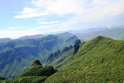
Guazapares, municipality of Chihuahua State, Mexico
Location: Chihuahua
Inception: 1826
Capital city: Témoris
GPS coordinates: 27.36667,-108.26667
Latest update: March 4, 2025 05:13
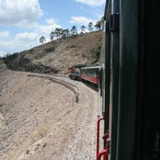
Ferrocarril Chihuahua al Pacífico
46.4 km
Basaseachic Falls
90 km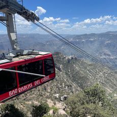
Copper Canyon Adventure Park
46.6 km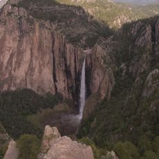
Basaseachic Falls National Park
85.3 km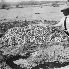
Esperanza Stone
192.4 km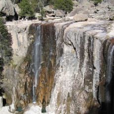
Cascada de Cusárare
74.2 km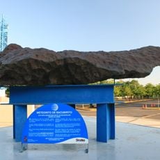
Bacubirito Meteorite
136.8 km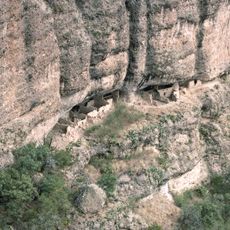
Huápoca
203 km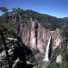
Piedra Volada
47 km
Sierra de Alamos - Río Cuchujaqui
44.7 km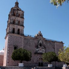
Iglesia de la Purísima Concepción
76.5 km
Sacred Heart of Jesus Cathedral, Ciudad Obregón
165.3 km
Museo El Fuerte
110.8 km
Teleférico de las Barrancas del Cobre
46.5 km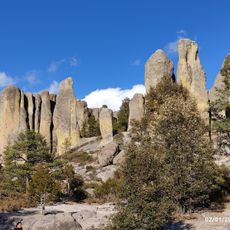
Valley of Mushrooms
75.5 km
Álamos city hall
76.6 km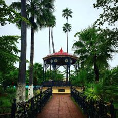
Plaza de Armas of Alamos
76.4 km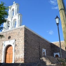
Capilla de Zapopan
76.4 km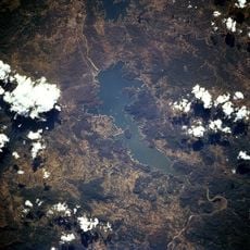
Lake Oviáchic
172.6 km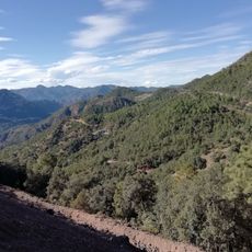
Área de Protección de Flora y Fauna Tutuaca
125.1 km
Temple of Saint Rose of Lima
180.5 km
Customs Museum of Sonora
76.4 km
Biblioteca Doctor Alfonso Ortiz Tirado
76.4 km
Temple of Saint Joseph
81 km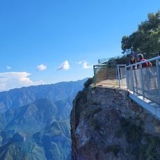
Mirador Cerro de Gallego
35.4 km
Recowata Hot Springs
69.4 km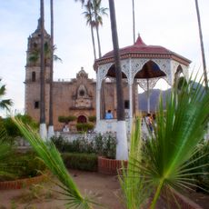
Historic centre of Alamos
76.4 km
Cerro De La Mask
109 kmReviews
Visited this place? Tap the stars to rate it and share your experience / photos with the community! Try now! You can cancel it anytime.
Discover hidden gems everywhere you go!
From secret cafés to breathtaking viewpoints, skip the crowded tourist spots and find places that match your style. Our app makes it easy with voice search, smart filtering, route optimization, and insider tips from travelers worldwide. Download now for the complete mobile experience.

A unique approach to discovering new places❞
— Le Figaro
All the places worth exploring❞
— France Info
A tailor-made excursion in just a few clicks❞
— 20 Minutes