
Pasaco, municipality of Jutiapa, Guatemala
Location: Jutiapa Department
Elevation above the sea: 107 m
Website: https://munipasaco.gob.gt/
Shares border with: Chiquimulilla
Website: https://munipasaco.gob.gt
GPS coordinates: 13.97885,-90.20630
Latest update: April 17, 2025 05:10
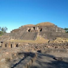
Tazumal
57.5 km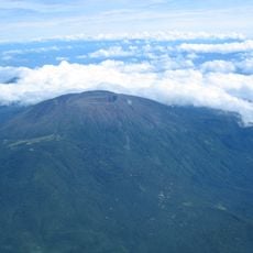
Santa Ana Volcano
64 km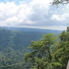
El Imposible National Park
30.9 km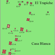
Casa Blanca, El Salvador
57.7 km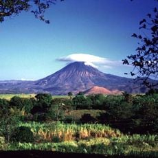
Chingo
54 km
Barra de Santiago
38.8 km
Tecuamburro
29.3 km
Suchitan
60.6 km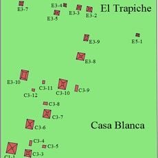
El Trapiche
58 km
Auto Safari Chapin
47.3 km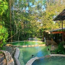
Santa Teresa Hot Springs.
42.7 km
Culma
50.1 km
Tahual
60.1 km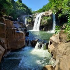
Salto Malacatiupán
44 km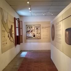
Casa Blanca Archaeological Site
57.8 km
Arena y Sol
47.4 km
Santa Isabel
60.3 km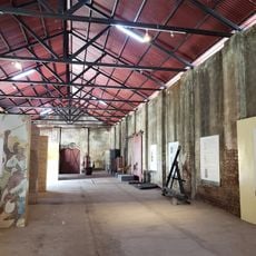
Museo del Ferrocarril
59.6 km
Utz Tzaba
34 km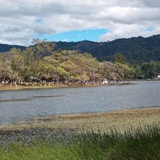
Laguna El Pino
45.9 km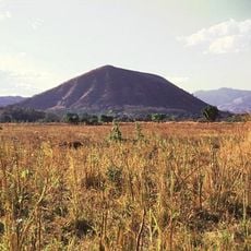
Cerro Singüil
62.6 km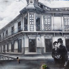
Railway Museum Plaza
59.8 km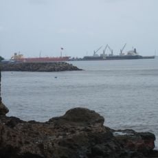
Phare d'Acajutla (National Pier)
59.1 km
El Tular Santuario Natural
62.5 km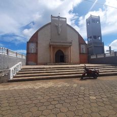
Parque Central Moyuta
14.9 km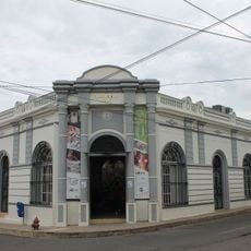
Centro para la Cultura y las Artes "Dr. Alfredo Espino"
39.2 km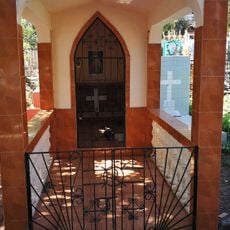
Sonsonate Cemetery
58.3 km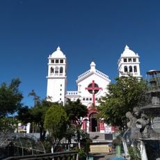
Iglesia Juayua
52.2 kmReviews
Visited this place? Tap the stars to rate it and share your experience / photos with the community! Try now! You can cancel it anytime.
Discover hidden gems everywhere you go!
From secret cafés to breathtaking viewpoints, skip the crowded tourist spots and find places that match your style. Our app makes it easy with voice search, smart filtering, route optimization, and insider tips from travelers worldwide. Download now for the complete mobile experience.

A unique approach to discovering new places❞
— Le Figaro
All the places worth exploring❞
— France Info
A tailor-made excursion in just a few clicks❞
— 20 Minutes