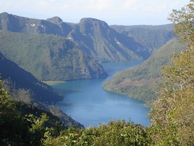
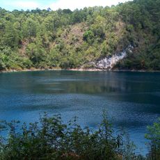
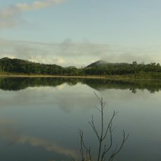
Laguna Brava, Karstic lake in Nentón, Guatemala.
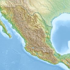
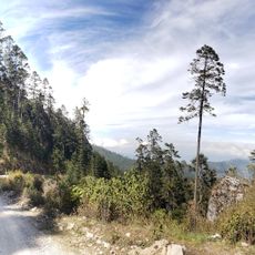
Laguna Brava is a karstic lake in Guatemala's Huehuetenango Department, formed through the geological processes of limestone dissolution and collapse. The water body sits within a landscape shaped by these underground formations, creating distinct physical features.
Around the year 2000, the lake and surrounding lands became the center of a dispute between local indigenous communities and foreign landowners seeking to establish a nature reserve. This conflict reflected broader questions about land rights and resource control in the region.
The Chuj Maya communities have maintained a strong relationship with this lake, using its resources for traditional fishing and food gathering. For them, the water remains woven into their daily life and connection to the land.
The lake can be reached through three entry points: El Aguacate, Yalambojoch, and San José Frontera, with El Aguacate offering more developed facilities. Plan your visit by choosing the entrance that best suits your needs and local conditions on the day you travel.
The lake contains three distinct cenotes, each displaying different water colors based on their mineral composition: Cenote Verde appears greenish, Cenote Azul displays blue tones, and Cenote Transparente shows clear water with excellent visibility. These color variations reveal how different mineral content and geological conditions shape the appearance of each water basin.
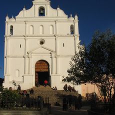
The community of curious travelers
AroundUs brings together thousands of curated places, local tips, and hidden gems, enriched daily by 60,000 contributors worldwide.