Sierra del Merendón, Mountain range in Zacapa and Cortés Departments, Guatemala and Honduras
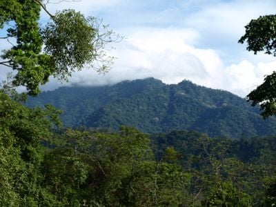
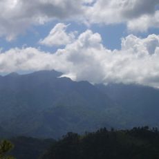
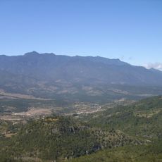
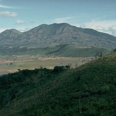
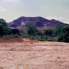
Sierra del Merendón is a mountain range extending along the eastern border between Guatemala and Honduras, with peaks reaching around 2,400 meters in elevation. The range supports distinct forest types on its north and south-facing slopes, with cloud forests appearing in the middle elevation band between 1,500 and 2,242 meters.
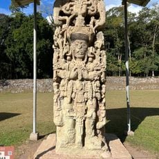
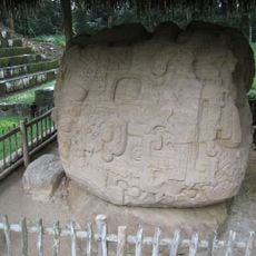
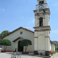
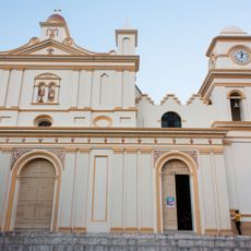
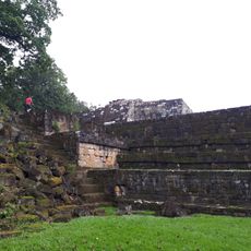
Indigenous peoples settled throughout the range before Spanish colonization, establishing communities that adapted to the mountain environment. The mountains later became a natural border dividing colonial territories, a function they maintain to this day.
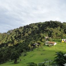
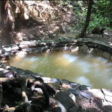
Communities scattered across the slopes maintain practices shaped by generations of living in these mountains, visible in how they farm, build, and move through the terrain.
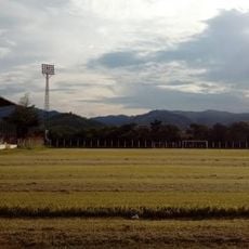
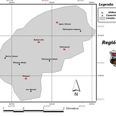
Access points exist across multiple departments on both sides of the border, though visiting requires local guidance and careful preparation. Weather conditions and road accessibility vary significantly by season, making advance planning important.
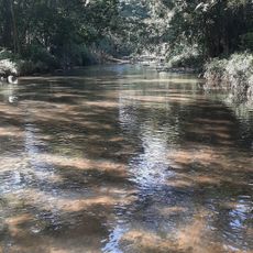
The range harbors rare forest ecosystems found in few other places in Central America, housing hundreds of plant and animal species found nowhere else. These habitats represent pockets of biological diversity that researchers and conservationists consider especially important.
The community of curious travelers
AroundUs brings together thousands of curated places, local tips, and hidden gems, enriched daily by 60,000 contributors worldwide.