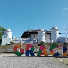
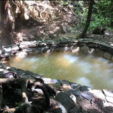
Gracias, city in Honduras
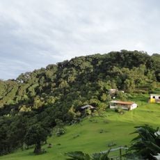
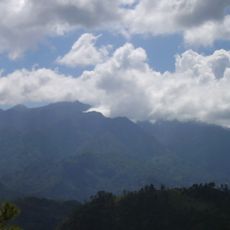
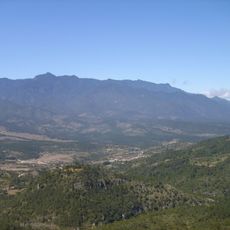
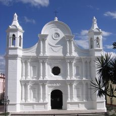
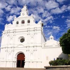
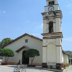
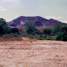
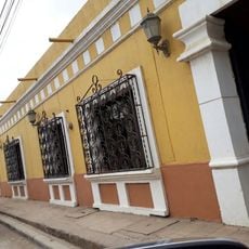
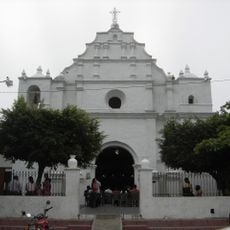
Gracias is a city and the administrative center of Lempira Department in western Honduras, set among mountain ridges at a notable elevation. The downtown area is organized around a central plaza flanked by colonial-era stone buildings and cobblestone streets.
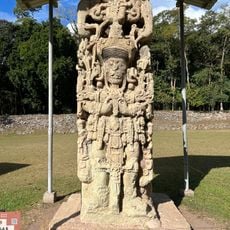
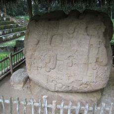
Gracias was founded by Spanish colonizers in the 16th century and briefly served as the first capital of Central America before losing that role to other cities. It remained an important seat of regional administration through the colonial and early independence periods.
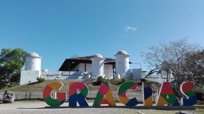
The name Gracias means "thanks" in Spanish, a reminder of the town's deep roots in Catholic devotion and gratitude. On weekends and during local festivals, the central plaza fills with families, street vendors, and music, making it the true heart of daily life.
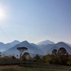
The city sits at a high elevation where temperatures can drop noticeably in the morning and evening, so a light jacket is worth bringing. The downtown is best explored on foot, though some streets are steep and uneven, so comfortable shoes help.
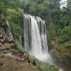
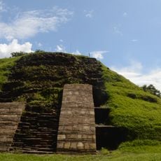
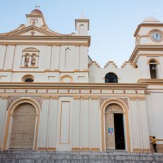
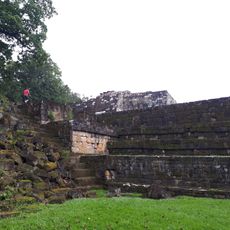
Just outside the city stands the Castillo San Cristóbal, one of the few remaining Spanish colonial forts in Central America, perched on a hill overlooking the rooftops below. From its walls, you can see the layout of the old town and the mountain ranges surrounding it.
The community of curious travelers
AroundUs brings together thousands of curated places, local tips, and hidden gems, enriched daily by 60,000 contributors worldwide.