
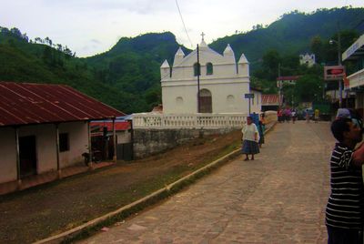
Lanquín, municipality of Guatemala
Location: Alta Verapaz Department
Inception: August 28, 1542
Elevation above the sea: 390 m
Shares border with: San Pedro Carchá, Senahú, Santa María Cahabón
Website: http://inforpressca.com/lanquin
GPS coordinates: 15.57583,-89.98111
Latest update: June 8, 2025 04:23
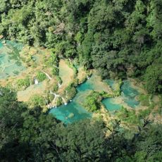
Semuc Champey
5.2 km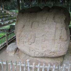
Quiriguá
106.6 km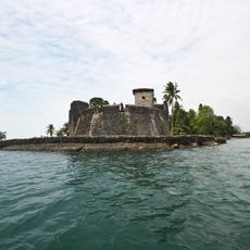
Castillo de San Felipe de Lara
106.1 km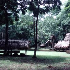
Dos Pilas
102.3 km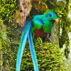
Biotopo del Quetzal
50.6 km
Reserva de la biosfera Sierra de las Minas
50.4 km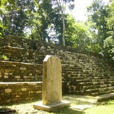
Aguateca
94.5 km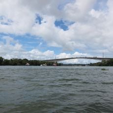
Puente de Río Dulce
105.7 km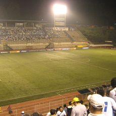
Estadio Cementos Progreso
114 km
Cancuén
49 km
Naj Tunich
108.5 km
Ixtutz
108.8 km
La Amelia
115.9 km
Chamá
45.2 km
Museo de Paleontologia y Arqueología de Estanzuela
77.5 km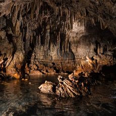
Rey Marcos Caves
36.3 km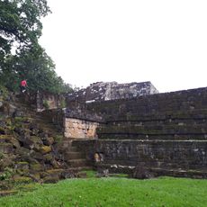
Museo
106.3 km
Catarata de Urlanta
109 km
Calvario
59 km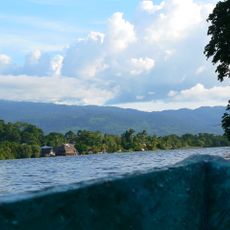
Rio Dulce National Park
111.2 km
Casa del Quetzal y la Marimba, Museo
63.4 km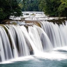
Las Conchas Natural Park
63.5 km
Calvario Poptun
103.4 km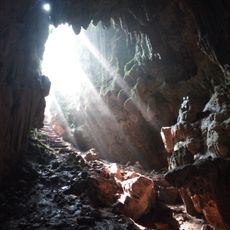
Cuevas de B'omb'il Pek
43.7 km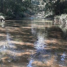
La Palmilla, Usumatlan
72.8 km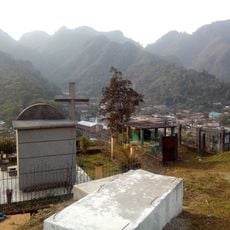
Cementerio Senahú
25 km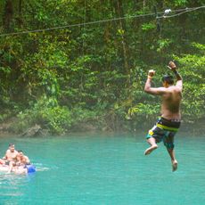
Hun Nal Ye
38 km
Finca El Cisne
107.2 kmReviews
Visited this place? Tap the stars to rate it and share your experience / photos with the community! Try now! You can cancel it anytime.
Discover hidden gems everywhere you go!
From secret cafés to breathtaking viewpoints, skip the crowded tourist spots and find places that match your style. Our app makes it easy with voice search, smart filtering, route optimization, and insider tips from travelers worldwide. Download now for the complete mobile experience.

A unique approach to discovering new places❞
— Le Figaro
All the places worth exploring❞
— France Info
A tailor-made excursion in just a few clicks❞
— 20 Minutes