Dangriga, city in Belize
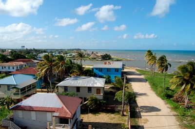
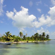
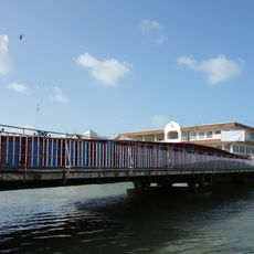
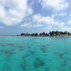
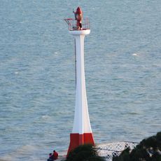
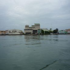
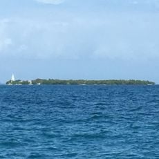
Dangriga is a coastal town in the Stann Creek District of southern Belize, located where the Stann Creek River meets the Caribbean Sea. It has colorful wooden buildings, a central market, and streets that run close to the water's edge.
The Garifuna people arrived on this coast from St. Vincent in the early 1800s and gradually built the settlement that became Dangriga. The town was known as Stann Creek Town for most of its history and was officially renamed Dangriga in 1975.
Dangriga is widely seen as the heart of Garifuna culture in Belize, and during celebrations the streets fill with Punta and Paranda music. The Gulisi Garifuna Museum and the Pen Cayetano Gallery offer visitors a direct look at the art and traditions of this community.
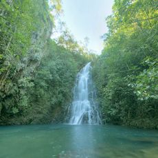
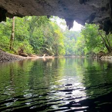
The town is compact enough to walk around, and taxis or bicycle rentals are easy to find for getting to spots outside the center. November through April is the driest period, which makes visiting nearby natural areas more straightforward.
The name Dangriga comes from the Garifuna language and means 'sweet water', a reference to the freshwater sources along the coast in this area. Garifuna Settlement Day on November 19 marks the first arrival of the Garifuna on this stretch of coast and is celebrated with canoe processions and music.
The community of curious travelers
AroundUs brings together thousands of curated places, local tips, and hidden gems, enriched daily by 60,000 contributors worldwide.