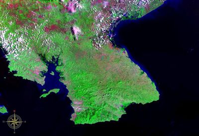
Azuero Peninsula, Large southern peninsula in Panama
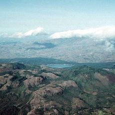
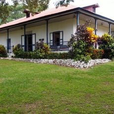
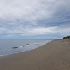
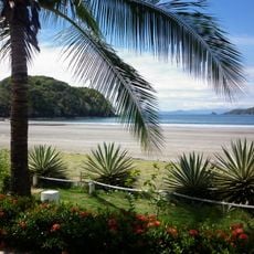
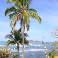
The Azuero Peninsula stretches across three provinces—Herrera, Los Santos, and Veraguas—with the Pacific Ocean bordering its southern and western edges. The landscape features coastal areas, rolling hills, and scattered towns, with the eastern regions more developed for tourism than the quieter western side.
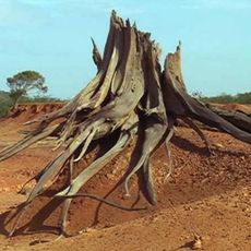
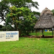
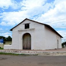
This region was one of Panama's earliest settlements more than 10,000 years ago, with agricultural practices developing long before Spanish colonization arrived. The early civilizations left behind archaeological remains that are still visible at various sites today.
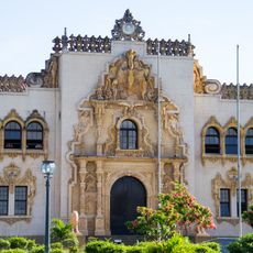
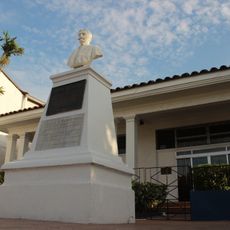
Las Tablas comes alive during February's Carnaval, when the streets fill with traditional parades, fireworks, and regional food. Visitors can watch locals perform dance routines and celebrations that reflect deeply rooted community traditions.
Visitors can reach the peninsula via regular flights from Panama City to Pedasi, with the eastern region offering better developed tourism services. Roads connect the main towns, but transportation options are limited in rural areas, so planning ahead helps.
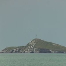
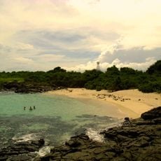
Punta Mariato at the western tip marks the southernmost point of mainland Central America. This remote location makes it significant for travelers interested in geographical boundaries.
The community of curious travelers
AroundUs brings together thousands of curated places, local tips, and hidden gems, enriched daily by 60,000 contributors worldwide.