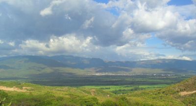
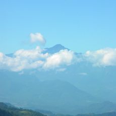
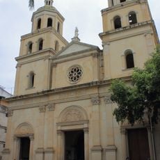
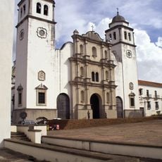
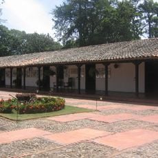
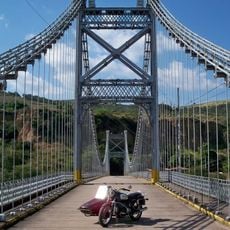
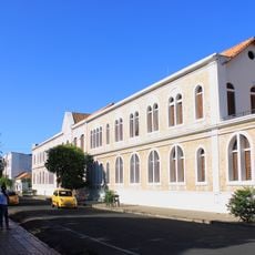
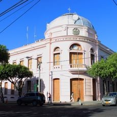
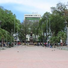
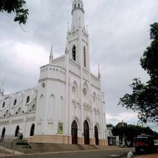
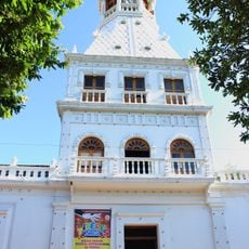
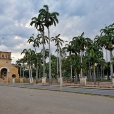
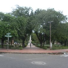
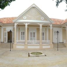
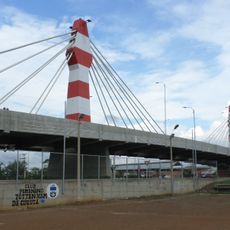
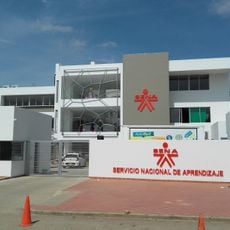
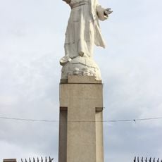
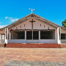
Municipio Ureña, second-level administrative division in the Táchira State, Venezuela
Location: Táchira
Capital city: Ureña
Part of: Táchira
Website: http://pedromariaurena-tachira.gob.ve/portal-alcaldias
GPS coordinates: 7.94160,-72.41501
Latest update: March 11, 2025 12:33
Estadio Polideportivo de Pueblo Nuevo
29.5 km
Chorro El Indio National Park
34 km
El Tamá National Park
51.2 km
General Juan Pablo Peñaloza National Park
51.5 km
Historic church of Cúcuta
13.6 km
Cúcuta City Hall
11.6 km
Basilica of Our Lady of Consolation, Táriba
24.9 km
Cathedral of Cúcuta
11.5 km
Cathedral of St. Christopher
27.9 km
House of Santander
13.1 km
Puente Libertador
24.9 km
Julio Pérez Ferrero Public Library
11.3 km
Gobernación de Norte de Santander
11.7 km
Parque del Agua (Ecoparque Cúcuta)
13 km
Santander Park
11.6 km
Saint Louis church in Cúcuta
9.3 km
Torre del Reloj, Cúcuta
11.5 km
Park of the Greater Colombia
13.5 km
La Victoria Park, Cúcuta
11.4 km
Quinta Teresa, Cúcuta
11.7 km
Edificio Santander, Cúcuta
11.3 km
Ecoparque Comfanorte
12.8 km
Iglesia del Divino Redentor
29.7 km
San Cristóbal Velodrome
28.8 km
Puente Atalaya, Cúcuta
11.9 km
Servicio Nacional de Aprendizaje, Atalaya
12.2 km
Cristo Rey, Cúcuta
11.9 km
Church of the Nativity of Our Lady, Cúcuta
11.9 kmReviews
Visited this place? Tap the stars to rate it and share your experience / photos with the community! Try now! You can cancel it anytime.
Discover hidden gems everywhere you go!
From secret cafés to breathtaking viewpoints, skip the crowded tourist spots and find places that match your style. Our app makes it easy with voice search, smart filtering, route optimization, and insider tips from travelers worldwide. Download now for the complete mobile experience.
A unique approach to discovering new places❞
— Le Figaro
All the places worth exploring❞
— France Info
A tailor-made excursion in just a few clicks❞
— 20 Minutes