Enable Location

We need your location to show you interesting places around you

Discover nearby places

Find interesting locations and hidden gems around you

Precise directions

Get accurate directions and distances to places

Your location is never shared with other users. It's only used when you tap the location button.

Queniquea

Log in to your account

Join the adventure

Create your free account and start exploring (like 60k+ others)

We will send you a code to connect

or
Continue with Google
Continue with Apple
By continuing, you accept our Terms and Conditions and our Privacy Policy

Check your inbox

We've sent a pincode in your inbox. Please enter the code below.

Queniquea

Queniquea, Mountain settlement in Táchira, Venezuela

Description

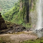
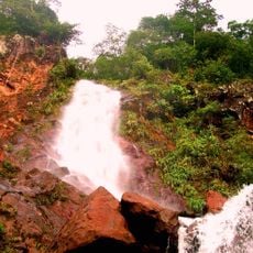
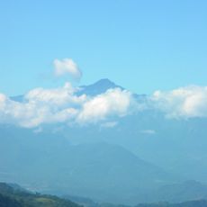
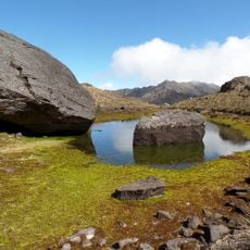
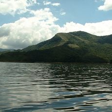
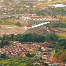
Queniquea is a mountain settlement in Táchira state, Venezuela, situated at roughly 1,600 meters elevation across rugged terrain. The area is organized into eight distinct villages, including Colinas de Queniquea, La Blanca, La Colorada, La Pérez, Machado, and Santa Filomena.

History

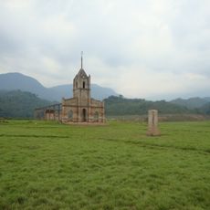
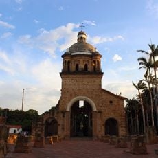
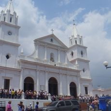
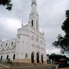
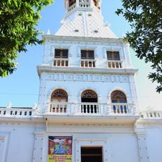
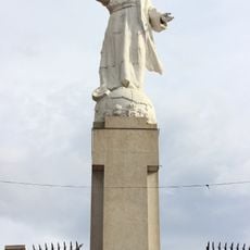
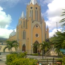
Father Casimiro Mora founded the settlement in 1808, which later became the capital of Sucre Municipality within Táchira state. This establishment marked an important step in the administrative organization of the mountain region.

Culture

The settlement's identity centers on coffee cultivation, with local farmers using time-honored growing methods suited to the mountain conditions. This agricultural practice shapes daily life and the appearance of the surrounding landscape.

Practical

The mountainous terrain requires careful navigation when moving between the eight villages, so suitable footwear and transport are essential. The elevation means visitors should prepare for cooler temperatures and changeable weather conditions typical of high-altitude areas.

Did you know?

Archaeological excavations near Colinas de Queniquea uncovered evidence of advanced agricultural communities dating back to 300 BC when discovered in 1991. This finding reveals that the region was inhabited long before its formal establishment as a Spanish colonial settlement.

Location
Elevation above the sea
1,597 m
GPS coordinates
7.91733,-72.01456
Latest update
December 6, 2025 17:40

AroundUs brings together thousands of curated places, local tips, and hidden gems, enriched daily by 60,000 contributors worldwide. Discover all places nearby (Municipio Sucre).

Venezuela's hidden attractions

Venezuela contains places away from standard tourist routes. The Andes hold waterfalls and colonial towns with long histories. The coast features remote beaches and islands with clear waters. Inland areas have caves, rock carvings, and nature reserves. The country experiences rare natural events,...

« Queniquea - Mountain settlement in Táchira, Venezuela » is provided by Around Us (aroundus.com). Images and texts are derived from Wikimedia project under a Creative Commons license. You are allowed to copy, distribute, and modify copies of this page, under the conditions set by the license, as long as this note is clearly visible.

Discover hidden gems everywhere you go!

From secret cafés to breathtaking viewpoints, skip the crowded tourist spots and find places that match your style. Our app makes it easy with voice search, smart filtering, route optimization, and insider tips from travelers worldwide. Download now for the complete mobile experience.

Around Us App Screenshot

A unique approach to discovering new places

Le Figaro

All the places worth exploring

France Info

A tailor-made excursion in just a few clicks

20 Minutes

Around Us
Travel Guide & Maps
Download

Send to your phone

QR Code
1

Open the camera app on your mobile.

2

Point at the QR code with your camera. A notification will appear.

3

Tap the notification to open the link.