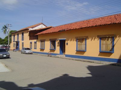
Ciudad de Nutrias, Colonial town in Barinas State, Venezuela
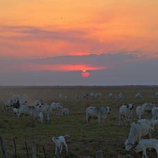
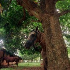
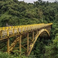
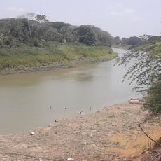
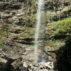
Ciudad de Nutrias is a settlement in Barinas State that developed along tributaries of the Apure River in a location suited for regional agriculture and trade. The town functions as a hub for cattle raising and crop production, including corn, rice, and plantains grown on the riverbanks.
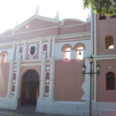
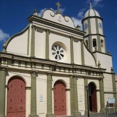
The settlement was established in 1774 by priest Juan José Paredes to improve communication between inland territories and Angostura via river routes. This founding made the location a key junction for regional development and trade flow.
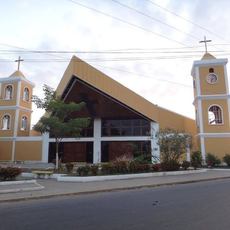
The townspeople celebrate religious festivals throughout the year dedicated to figures like the Immaculate Conception and Saint Mark, events that have shaped community gatherings for centuries. These observances reflect how faith remains woven into the daily rhythm of local life.
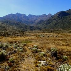
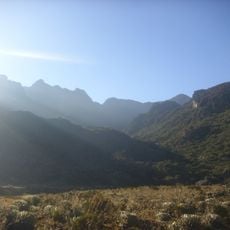
The best time to visit is during the dry season when river routes are easier to navigate and farm roads remain accessible. Visitors should expect basic lodging and transportation options, as this is a rural settlement without major urban facilities.
The name comes from the river otters that once filled the local streams in large numbers, and the animals were so plentiful they gave the budding settlement its distinctive identity. Early residents named the place after these creatures, which were a common sight along the waterways.
The community of curious travelers
AroundUs brings together thousands of curated places, local tips, and hidden gems, enriched daily by 60,000 contributors worldwide.