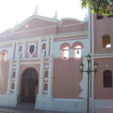
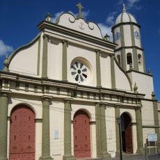
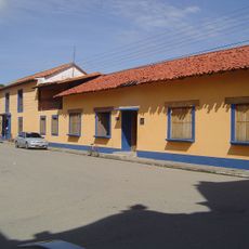
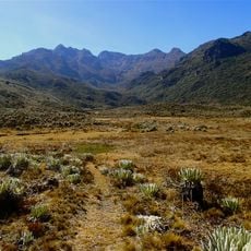
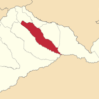
Barinas State, State region in western Venezuela
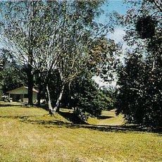
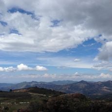
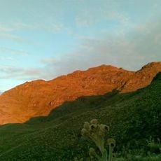
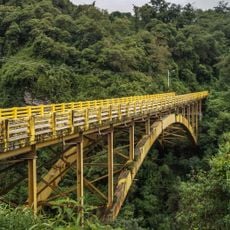
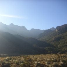
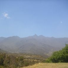
Barinas State is a region in western Venezuela situated at the base of the Cordillera de Mérida mountain range. It is characterized by broad plains crossed by a system of rivers that shape the landscape.
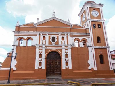
The region was first explored in 1534 by Georg von Speyer and Nikolaus Federmann, which led to Spanish settlements being established. This early exploration marked the beginning of European presence in the area.
The name comes from the Varinas people who lived here long before Europeans arrived in the region. This heritage remains part of the local identity and shapes how communities understand their place.
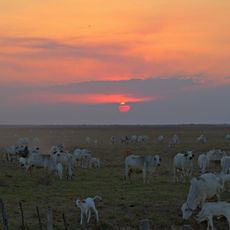
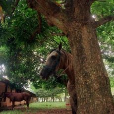
The state is divided into thirteen municipalities and functions as an important center for farming and livestock raising. Visitors should know that the region is primarily known for its natural features and agricultural production.
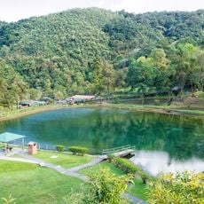
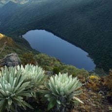
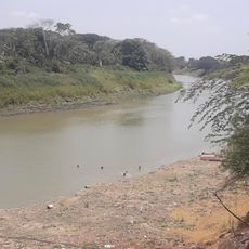
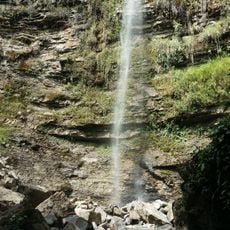
The abundance of waterways flowing through the region has earned it recognition as the capital of rivers in Venezuela. This water-rich landscape fundamentally shapes the area and influences its character.
Location: Venezuela
Inception: 1955
Capital city: Barinas
Elevation above the sea: 107 m
Shares border with: Táchira, Mérida, Trujillo, Portuguesa, Cojedes, Guárico, Apure
Website: http://barinas.gob.ve
GPS coordinates: 8.13333,-69.41667
Latest update: December 14, 2025 20:29
Sierra Nevada National Park
149.3 km
Basilica of the National Shrine of Our Lady of Coromoto
95.5 km
Yacambú National Park
169.2 km
Dinira National Park
166.6 km
Estadio Agustín Tovar
102.8 km
Hato El Cedral
78.4 km
Teta de Niquitao-Guirigay Natural Monument
161.4 km
Guaramacal National Park
146.9 km
Laguna Negra
169.3 km
Hato Piñero
171.8 km
Cathedral of Our Lady of the Pillar
103.4 km
Cathedral Basilica of Our Lady of Coromoto
108 km
Hato El Frío
78.6 km
Ciudad de Nutrias
12.7 km
Pico Mucuñuque
167.6 kmUnellez Botanical Garden
107.4 km
Viaducto Agrícola "Batalla de Niquitao"
153 km
El Socorro de Portuguesa
163.4 km
Pico Mifés
168.1 km
Capilla del Filo del Tisure
163.5 kmPico Guirigay
154.9 kmCampo Elías
157.2 kmOspino
130 kmPico del Salvaje
167.5 km
El Guache National Park
161 km
Chorro San Miguel
147.1 km
Pico El Gavilán
172 km
Museo de Arte Acarigua-Araure
160.6 kmVisited this place? Tap the stars to rate it and share your experience / photos with the community! Try now! You can cancel it anytime.
Discover hidden gems everywhere you go!
From secret cafés to breathtaking viewpoints, skip the crowded tourist spots and find places that match your style. Our app makes it easy with voice search, smart filtering, route optimization, and insider tips from travelers worldwide. Download now for the complete mobile experience.
A unique approach to discovering new places❞
— Le Figaro
All the places worth exploring❞
— France Info
A tailor-made excursion in just a few clicks❞
— 20 Minutes