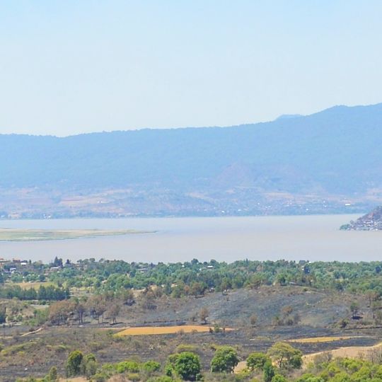
Lake Pátzcuaro, Natural lake in Quiroga, Mexico.
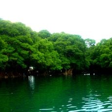
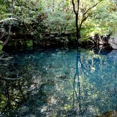
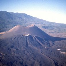
Lake Pátzcuaro is a shallow lake in a volcanic basin at 2,035 metres, with an average depth of 5 metres and a maximum of 12. It covers 126.4 km² and holds seven islands, including Janitzio, La Pacanda, Yunuén, Tecuena and Jarácuaro. Its shoreline is lined with reed wetlands over 2 metres tall.
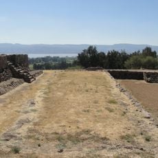
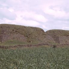
The basin was the heartland of the Purépecha state, which rivaled the Aztec Empire before the Spanish conquest. Ihuatzio, Tzintzuntzan and Pátzcuaro were its important centers. Drilling studies published in 2000 show the lake was deeper in colder periods 38,000 to 25,000 years ago, and human life by the water is documented for about 4,000 years.
The lake's name comes from the Purépecha settlement of Pátzcuaro on its southeastern shore. On the island of Janitzio, fishermen still use the traditional butterfly net, a wide conical net mounted on a long pole, worked from wooden canoes. Nearby villages carry on crafts: Tocuaro is known for woodworking and maskmaking, and Santa Fe La Laguna for handicrafts.
The lake lies at 2,035 m in a closed volcanic basin; access from Morelia is via Highway 17, 63 km east. The water is shallow, averaging 5 m and reaching 12 m, so winds stir up sediment quickly. Boats to the islands leave from the shore at Pátzcuaro and other lakeside towns; the Ramsar-listed wetlands (707 ha) are best explored in the calmer morning hours.
Water levels have dropped significantly over recent decades, transforming what were once islands into peninsulas now connected to the mainland and walkable from shore. This ongoing change reshapes the geography and affects how residents interact with areas they have inhabited for centuries.
The community of curious travelers
AroundUs brings together thousands of curated places, local tips, and hidden gems, enriched daily by 94,642 contributors worldwide.