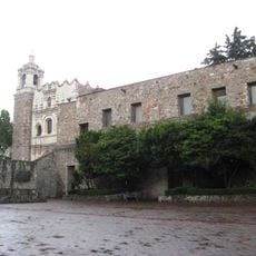
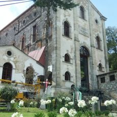
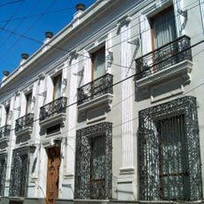
Omitlán de Juárez, Mountain municipality in Hidalgo, Mexico.
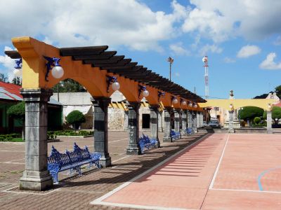
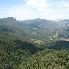
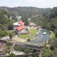
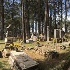
Omitlán de Juárez is a mountain municipality in Hidalgo featuring a landscape of high peaks including Cerro Gordo and Cerro del Gallo. The territory is scattered with small settlements, with San Antonio el Paso standing as the main population center in this elevated terrain.
The municipality was established in 1865 and later added Juárez to its name to honor Mexican President Benito Juárez García. This naming reflects a broader tradition of dedicating territorial names to significant political figures in Mexico's history.
The name comes from Nahuatl, combining 'ome' meaning two and 'tlan' meaning place, reflecting the indigenous roots that shaped this region. This linguistic heritage remains visible in the traditions and place names found throughout the area's villages.
The area sits at higher elevation, so visitors should expect cooler temperatures and variable mountain weather conditions. Local roads connect the different villages and settlements throughout the municipality.
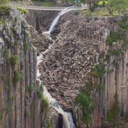
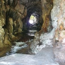
The landscape is marked by distinctive volcanic rock formations, including andesite and tuff, which give the terrain its characteristic appearance. These geological features make the region particularly interesting for those studying mountain formations and earth science.
Location: Hidalgo
Capital city: Omitlán de Juárez
Elevation above the sea: 2,493.97 m
GPS coordinates: 20.16861,-98.64778
Latest update: December 6, 2025 17:46
Hidalgo state sits northeast of Mexico City, connecting volcanic landscapes with more than two thousand years of human settlement. The region extends from high-altitude pine forests to semi-arid canyons, with geological processes having created basalt columns, cave systems with thermal springs, and...
Basaltic Prisms of Santa María Regla
11.5 km
Monumental Clock of Pachuca
9.9 km
El Chico National Park
9.7 km
Hacienda de Santa María Regla
11.8 km
Ex monastery of Saint Francis of Assisi, Pachuca de Soto, Hidalgo, Mexico
10.2 km
Cristo Rey de Pachuca
8.8 km
Hacienda de San Miguel Regla
10.9 km
Historic Archive and Museum of Mining in Pachuca
10 km
Acosta Mine Museum
3.2 km
Municipal Hall of Pachuca de Soto
9.8 km
La Asuncion Parish, Pachuca
9.7 km
Templo y exconvento de San Agustín
13.3 km
Fototeca Nacional
10.2 km
Plaza Constitución
9.7 km
Paste Museum
5.1 kmZona de Preservación Ecológica Cerro del Lobo
9.6 km
La Dificultad Mine Museum
3.6 km
Site Museum and Interpretation Center Mina La Difficulty
3.6 km
Edificio de las Cajas Reales
9.6 km
Saint Francis Theater
10.2 km
Museo de Medicina Laboral
4.2 km
Museo de Mineralogía de la UAEH
10.1 km
Museo Casa Grande
4.1 km
San Antonio mine
10.9 km
Foro Cultural Efrén Rebolledo, Pachuca
9.9 km
Centro Cultural Universitario Víctor Manuel Ballesteros
10 km
Real English pantheon of Monte
3.9 km
El Bosque de las Truchas
11 kmVisited this place? Tap the stars to rate it and share your experience / photos with the community! Try now! You can cancel it anytime.
Discover hidden gems everywhere you go!
From secret cafés to breathtaking viewpoints, skip the crowded tourist spots and find places that match your style. Our app makes it easy with voice search, smart filtering, route optimization, and insider tips from travelers worldwide. Download now for the complete mobile experience.
A unique approach to discovering new places❞
— Le Figaro
All the places worth exploring❞
— France Info
A tailor-made excursion in just a few clicks❞
— 20 Minutes