Parque Nacional Cumbres de Monterrey, National park in Nuevo León, Mexico
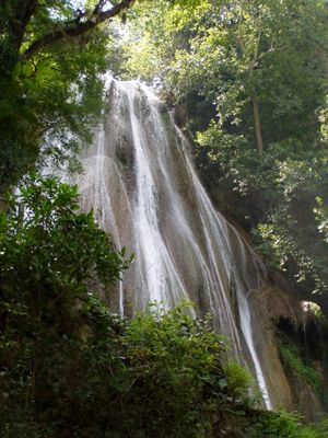
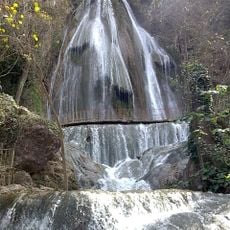
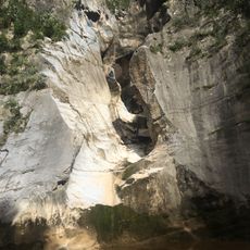
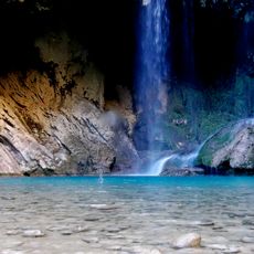
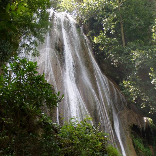
Parque Nacional Cumbres de Monterrey is a national park in the Sierra Madre Oriental, mainly in Nuevo León, with a smaller part in Coahuila. It covers 177,395.95 hectares of folded marine sedimentary rock, deep canyons such as Cañón de la Huasteca, and waterfalls including Cascada Cola de Caballo, which drops 25 m over rounded boulders. The Cerro de la Silla, 1,820 m high, forms part of Monterrey's skyline.
President Lázaro Cárdenas founded this national park in 1939, establishing it as one of Mexico's major conservation efforts at that time. The designation aimed to protect the region's natural resources and ecosystems for future generations.
Before Spanish rule, Chichimeca groups lived in these mountains and several tribes united to resist colonial control. Prehistoric paintings and stone carvings remain in the park, notably on the walls of Cañón de la Huasteca. Monterrey, the first European settlement in the area, was founded on September 20, 1596.
The Chipinque sector near Monterrey offers hiking trails of varying difficulty levels for visitors of all experience. Maps and information stations help you find the right route for your skill level and interests.
Grutas de García, one of Mexico's largest cave systems, stayed hidden until its discovery in 1843; marine fossils appear in its oceanic sedimentary rock. At the park's southern tip lies Pozo del Gavilán, the only known cenote in northern Mexico, used for rappelling and linked underground to Laguna de Labradores.
The community of curious travelers
AroundUs brings together thousands of curated places, local tips, and hidden gems, enriched daily by 93,842 contributors worldwide.