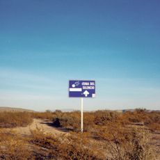
Coahuila, Federated state in northern Mexico
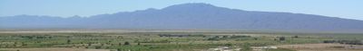
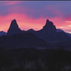
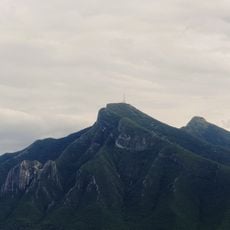
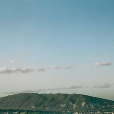
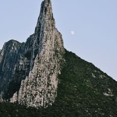
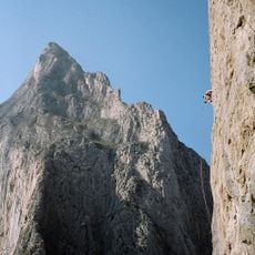
Coahuila is a federated state in northern Mexico stretching from the Rio Grande to the eastern slopes of the Sierra Madre, where desert flats in the west meet mountain ridges in the east. The region covers 38 municipalities and links dry plains with forested highlands along the Texas border.
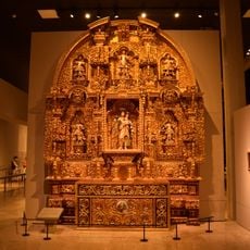
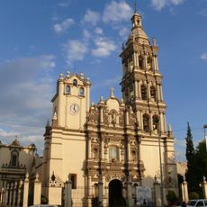
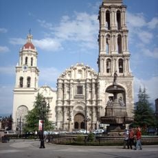
Spanish settlers founded Saltillo in 1575 and brought Tlaxcala families from central Mexico to populate the area. The border location later shaped regional development through trade and immigration from northern neighbors.
The name comes from an indigenous word meaning roughly 'place of trees', though much of the territory now appears as dry plains. Vineyards in the southern valleys supply grapes for cellars with roots reaching back to the 1500s.
Border crossings at Ciudad Acuña and Piedras Negras allow travelers to enter from Texas, with waiting times varying by weekday. Desert areas in the west require plenty of water and sun protection, while mountain zones in the east offer cooler temperatures and more moisture.
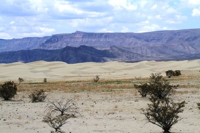
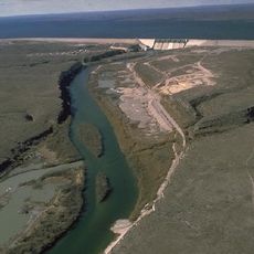
The Cuatro Ciénegas nature reserve holds more than 200000 acres with hundreds of freshwater pools hosting species found nowhere else on Earth. Some organisms there resemble ancient lifeforms and help researchers understand early planetary history.
Location: Mexico
Inception: 1824
Capital city: Saltillo
Elevation above the sea: 1,307 m
Shares border with: Chihuahua, Texas, Nuevo León, Zacatecas, Durango
Website: http://coahuila.gob.mx
GPS coordinates: 27.30222,-102.04472
Latest update: December 4, 2025 19:00
Mapimí Silent Zone
181.9 km
Grutas de García
221.5 km
Potrero Chico
216.8 km
Fort Duncan
217.1 km
Hot Springs
229 km
Boca de Potrerillos
213.3 km
Estadio De Béisbol Monclova
74 km
Grutas de Bustamante
175.1 km
Cerro del Pueblo Formation
163.5 km
Eagle Pass – Piedras Negras International Bridge
217 km
Camino Real International Bridge
216.5 km
Mariscal Mine
228.9 km
Francisco I. Madero Monument at Monclova
74.8 km
Wells of Baján
121.8 km
Teleférico de las Grutas de García
221 km
Boquillas Canyon
227.9 km
Rio San Rodrigo
225.9 km
Union Pacific International Railroad Bridge
216.4 km
Martyrs of Christ the King Cathedral, Piedras Negras
212.1 km
Daniels Farm House
228.5 km
Sierra Corral de los Bandidos
223.5 km
Estación Del Tren
182.3 km
Aztec Theatre
217.9 km
Plaza Eureka
213.3 km
Rio Grande Village Campground Amphitheater
227.6 km
Hot Springs Store
228.8 km
Livingston House
228.8 km
Boquillas Canyon Overlook
227.6 kmReviews
Visited this place? Tap the stars to rate it and share your experience / photos with the community! Try now! You can cancel it anytime.
Discover hidden gems everywhere you go!
From secret cafés to breathtaking viewpoints, skip the crowded tourist spots and find places that match your style. Our app makes it easy with voice search, smart filtering, route optimization, and insider tips from travelers worldwide. Download now for the complete mobile experience.
A unique approach to discovering new places❞
— Le Figaro
All the places worth exploring❞
— France Info
A tailor-made excursion in just a few clicks❞
— 20 Minutes