Chest opened
+${chestReward.xp} XP
Explorer
NOUVEAU ×${chestReward.collectible.quantity}
tapez pour fermer
Chest locked

Open chests in the app

Around Us is built for your phone — chests unlock when you walk, explore and capture nearby places.

Enable Location

We need your location to show you interesting places around you

Discover nearby places

Find interesting locations and hidden gems around you

Precise directions

Get accurate directions and distances to places

Your location is never shared with other users. It's only used when you tap the location button.

Log in to your account

Start exploring — it's free

Trusted by 72,884 travelers worldwide

Continue with Google
Continue with Apple
or

We will send you a code to connect

By continuing, you accept our Terms and Conditions and our Privacy Policy

Check your inbox

We've sent a pincode in your inbox. Please enter the code below.

Cañada Region
Discussion Reviews Photo
35k Popularity

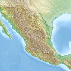
Cañada Region, Administrative region in Oaxaca, Mexico.

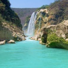
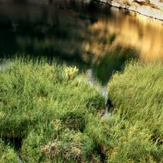
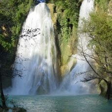
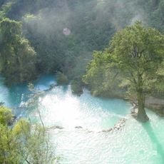
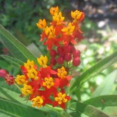
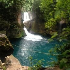
The Cañada Region is a geographic area in Oaxaca with two districts, Teotitlán and Cuicatlán, watered by the Salado and Tomellín rivers that sustain the landscape. The terrain supports year-round farming of mangos, melons, and avocados due to its warm climate and consistent water flow.

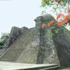
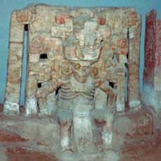
The area was an important Precolumbian route linking the Valley of Oaxaca with the Valley of Tehuacán and was controlled by the Zapotec state centered at Monte Albán. This strategic location made it a key trade corridor in ancient times.

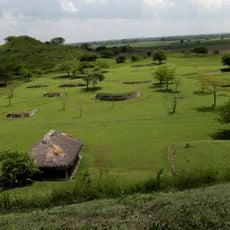
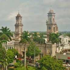
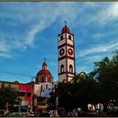
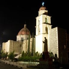
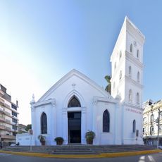
Huautla de Jiménez serves as the cultural heart where you can see traditional markets and local celebrations that reflect the daily life of the region. The town brings together people from surrounding villages through these gathering points and shared customs.

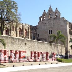
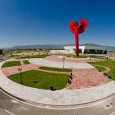
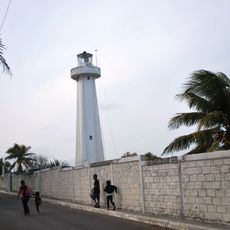
Visitors should prepare for warm weather and wear comfortable shoes as the region is best explored on foot. Teotitlán de Flores Magón serves as the main hub and offers basic services and accommodations for travelers.

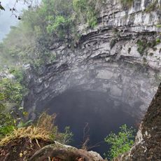
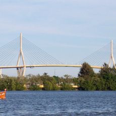
A natural canyon called Cañada de Cuicatlán shapes the landscape and forms a natural passage between Oaxaca and Puebla states. This geological feature has historically eased movement of people and goods between the two regions.

The community of curious travelers

AroundUs brings together thousands of curated places, local tips, and hidden gems, enriched daily by 60,000 contributors worldwide.

Start exploring
Location
GPS coordinates
23.08333,-97.13333
Latest update
December 19, 2025 22:18
Reviews
Share your experience

No review yet

Discussions
Start a discussion...

No discussion yet

« Cañada Region - Administrative region in Oaxaca, Mexico » is provided by Around Us (aroundus.com). Images and texts are derived from Wikimedia project under a Creative Commons license. You are allowed to copy, distribute, and modify copies of this page, under the conditions set by the license, as long as this note is clearly visible.

Discover hidden gems everywhere you go!

From secret cafés to breathtaking viewpoints, skip the crowded tourist spots and find places that match your style. Our app makes it easy with voice search, smart filtering, route optimization, and insider tips from travelers worldwide. Download now for the complete mobile experience.

Around Us App Screenshot

A unique approach to discovering new places

Le Figaro

All the places worth exploring

France Info

A tailor-made excursion in just a few clicks

20 Minutes

Around Us
Travel Guide & Maps
Download

Send to your phone

QR Code
1

Open the camera app on your mobile.

2

Point at the QR code with your camera. A notification will appear.

3

Tap the notification to open the link.