Oaxaca

Log in to your account

AroundUs is a community-driven map of interesting places, built by curious explorers like you. It grows with every review, story, and photo you share.
Connect to save your favorite spots, contribute locations, and create personalized routes.
Continue with Google
Continue with Apple
Continue with X
Continue with Facebook
Continue with email
By continuing, you accept our Terms and Conditions and our Privacy Policy
Create an account
Add to collection
Map
Suggest a change
Share

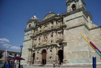
Oaxaca, State territory in southern Mexico

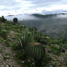
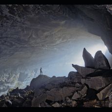
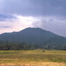
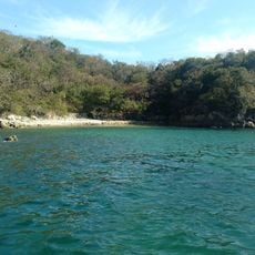
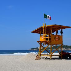
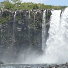
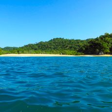
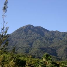
Oaxaca is a state in southern Mexico that stretches across mountainous regions, Pacific coastal plains, and the Isthmus of Tehuantepec, divided into hundreds of municipalities. The landscape shifts between high sierras, deep valleys, pine forests, and dry plains, while the coast displays long beaches and lagoons.

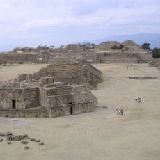
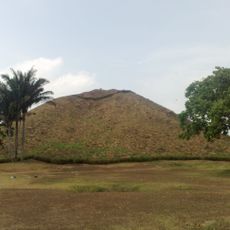
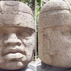
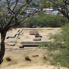
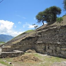
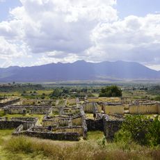
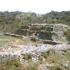
Archaeological finds show that people here grew corn, beans, and squash thousands of years ago, which allowed the shift to permanent settlements. Later, large civilizations developed here, and their ruins and pyramids can still be seen today in different parts of the region.

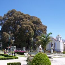
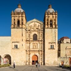
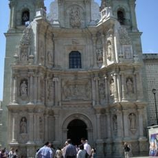
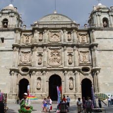
Different ethnic groups live here and use their own languages in daily life, especially at markets and public gatherings where Zapotec and Mixtec are often heard. Traditional festivals and religious processions shape the rhythm of life in towns and villages throughout the year, often accompanied by handmade costumes and local music.

The main highway connects the largest cities and makes longer drives between centers possible, while smaller mountain towns sometimes require longer approaches. Air connections reduce travel time to remote areas, which is especially helpful when time is limited.

More than 400 communities elect their leaders according to ancient rules and gather their members for public discussions instead of holding formal elections. This form of self-governance still works today and shows how local traditions and modern administration can exist side by side.

Location: Mexico

Inception: 1824

Capital city: Oaxaca de Juárez

Elevation above the sea: 1,644 m

Reference: OAX

Shares border with: Chiapas, Puebla, Guerrero, Veracruz

Website: http://oaxaca.gob.mx

GPS coordinates: 17.00000,-96.50000

Latest update: December 14, 2025 18:43

Photos
Traditional sites and natural landscapes in Oaxaca

Oaxaca has archaeological sites like Monte Albán and Mitla, where zapotec and mixtec civilizations built temples and palaces many centuries before the Spanish arrived. The land stretches between mountains in the north and Pacific coasts in the south, with lagoons and beaches such as those at Mazunte...

Reviews

Visited this place? Tap the stars to rate it and share your experience / photos with the community! Try now! You can cancel it anytime.

Administrative divisions
« Oaxaca - State territory in southern Mexico » is provided by Around Us (aroundus.com). Images and texts are derived from Wikimedia project under a Creative Commons license. You are allowed to copy, distribute, and modify copies of this page, under the conditions set by the license, as long as this note is clearly visible.

Discover hidden gems everywhere you go!

From secret cafés to breathtaking viewpoints, skip the crowded tourist spots and find places that match your style. Our app makes it easy with voice search, smart filtering, route optimization, and insider tips from travelers worldwide. Download now for the complete mobile experience.

Around Us App Screenshot

A unique approach to discovering new places

Le Figaro

All the places worth exploring

France Info

A tailor-made excursion in just a few clicks

20 Minutes