Benito Juárez National Park

Log in to your account

AroundUs is a community-driven map of interesting places, built by curious explorers like you. It grows with every review, story, and photo you share.
Connect to save your favorite spots, contribute locations, and create personalized routes.
By continuing, you accept our Terms and Conditions and our Privacy Policy

Benito Juárez National Park

Add to collection
Map
Suggest a change
Share

Benito Juárez National Park, National park in Valles Centrales Region, Mexico.

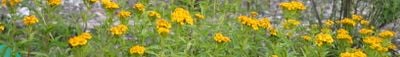
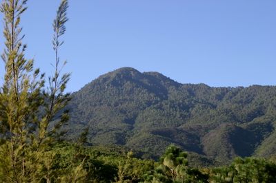
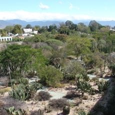
Benito Juárez National Park is a protected area in the Valles Centrales Region featuring mountainous terrain with pine-oak forests and deep valleys. The land rises and falls across different elevations and includes rivers that flow through the landscape.

The area was established on December 30, 1937, and named after President Benito Juárez, who was born in Oaxaca. It was created during the administration of General Lázaro Cárdenas del Río as part of Mexico's effort to protect natural spaces.

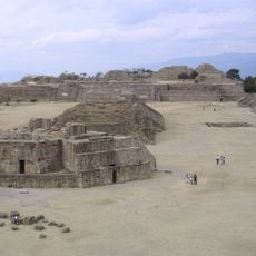
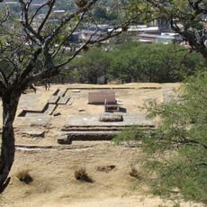
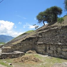
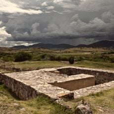
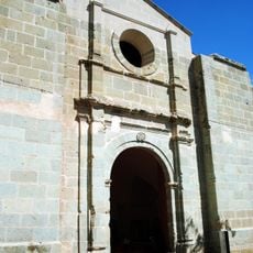
The territory holds visible archaeological remains that connect to Zapotec culture and continue to shape local traditions in surrounding communities. Walking through the park, you can feel how these ancient roots remain important to the people who live nearby.

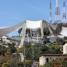
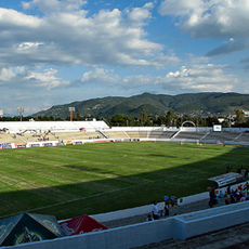
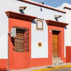
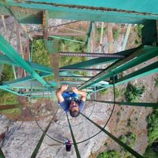
The park is accessible by road about five kilometers north of Oaxaca City and offers hiking trails, camping areas, and spots for observing wildlife. Visit during the drier months when the trails are easier to walk and visibility is better.

The park is home to a rare bird species called the dwarf jay that is found nowhere else in the region. The rivers flowing through the landscape also serve an important function supplying water to Oaxaca City.

Location: Oaxaca

Inception: December 30, 1937

GPS coordinates: 17.16806,-96.73889

Latest update: December 6, 2025 17:41

Traditional sites and natural landscapes in Oaxaca

Oaxaca brings together pre-Columbian temple complexes, colonial monasteries, and villages where traditional crafts are still made today. At Monte Alban and Mitla, structures stand that were built centuries before Spanish arrival. The region extends from mountain landscapes in the north to coastal areas with lagoons and beaches in the south. Natural variety ranges from waterfalls like La Reforma to the petrified springs of Hierve el Agua. In villages such as Teotitlán del Valle, families weave rugs using techniques passed down through generations. San Martín Tilcajete is known for its wood carvings. Along the coast, places like Mazunte and Puerto Escondido provide access to the Pacific. Colonial churches such as Santo Domingo Yanhuitlán and the chapel at Ocotlán display architecture from the sixteenth and seventeenth centuries.

Reviews

Visited this place? Tap the stars to rate it and share your experience / photos with the community! Try now! You can cancel it anytime.

« Benito Juárez National Park - National park in Valles Centrales Region, Mexico » is provided by Around Us (aroundus.com). Images and texts are derived from Wikimedia project under a Creative Commons license. You are allowed to copy, distribute, and modify copies of this page, under the conditions set by the license, as long as this note is clearly visible.

Discover hidden gems everywhere you go!

From secret cafés to breathtaking viewpoints, skip the crowded tourist spots and find places that match your style. Our app makes it easy with voice search, smart filtering, route optimization, and insider tips from travelers worldwide. Download now for the complete mobile experience.

Around Us App Screenshot

A unique approach to discovering new places

Le Figaro

All the places worth exploring

France Info

A tailor-made excursion in just a few clicks

20 Minutes