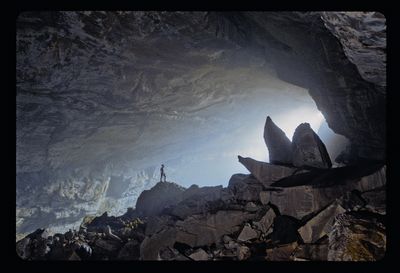
Chevé Cave, Cave system in Sierra Juárez mountains, Mexico.
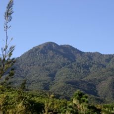
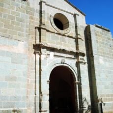
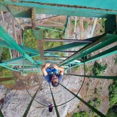
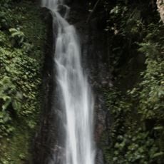
Chevé Cave is a vast underground system in the Sierra Juárez mountains of Oaxaca, with passages extending over 55 miles and plunging to depths of 1,529 meters (5,020 ft). The main entrance opens into a spacious chamber that continues deep into the mountain, with numerous branching tunnels and vertical shafts throughout.
The cave was discovered in the mid-1980s, marking the beginning of systematic exploration that continues today. Ongoing expeditions have mapped the underground network and revealed traces of pre-Hispanic occupation and use.
The cave served as a ceremonial site for the Cuicatec people, who left behind ritual objects and offerings within its chambers. These artifacts reveal how deeply connected this place was to their spiritual and religious life.
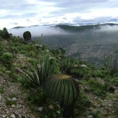
Access requires traveling through mountain roads from Concepción Pápalo, and the terrain is challenging and remote. Guided tours are essential for safe navigation, as the location demands proper preparation and appropriate physical fitness.
The cave ranks among North America's deepest and remained unknown to the outside world until recently, despite local knowledge of its existence for generations. Its exploration continues to present extreme challenges that draw cavers from around the globe.
The community of curious travelers
AroundUs brings together thousands of curated places, local tips, and hidden gems, enriched daily by 60,000 contributors worldwide.