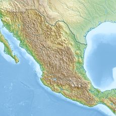
Mixteca Alta Unesco Global Geopark, UNESCO Global Geopark in Oaxaca, Mexico
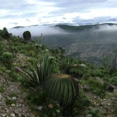
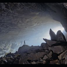
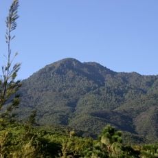
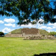
Mixteca Alta UNESCO Global Geopark covers a large area across nine municipalities and displays different types of rock formations, including mountains, valleys, and metamorphic structures. The landscape shows the complex geological history that took shape over millions of years.
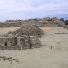
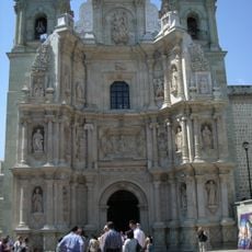
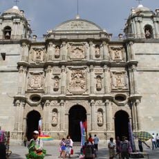
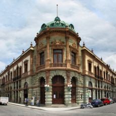
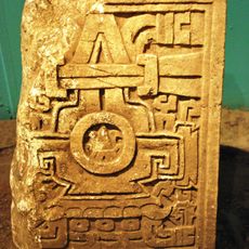
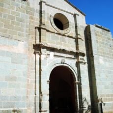
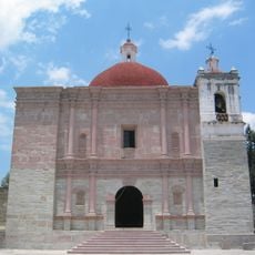
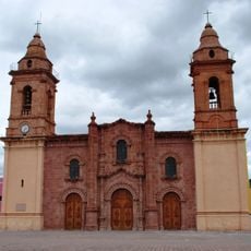
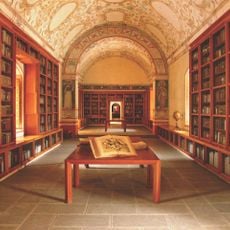
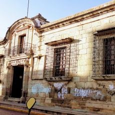
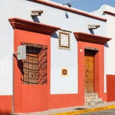
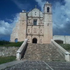
People lived in this region since ancient times, leaving behind evidence of their settlements and development. When Spanish colonizers arrived in the 16th century, they built churches that still stand across the landscape today.
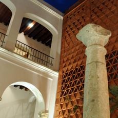
Local people in this region speak their own indigenous languages and follow traditions that go back generations. The landscape and the rocks beneath it hold meaning in how communities live and organize their daily lives.
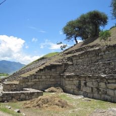
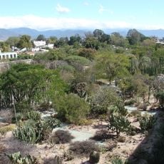
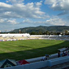
The area has marked walking trails where you can explore the rock formations and landscape on your own. Local guides are available to explain what you see, and programs work for visitors with different levels of knowledge.
The area holds some of Mexico's oldest rocks, dating back hundreds of millions of years. These ancient formations reveal the deepest history of the country hidden underground.
Location: Oaxaca
GPS coordinates: 17.51806,-97.34222
Latest update: December 14, 2025 17:04
Monte Albán
80.7 km
Tehuacán-Cuicatlán Biosphere Reserve
77.4 km
San José Mogote
69.3 km
Estadio Tecnológico de Oaxaca
79.9 km
Basilica of Our Lady of Solitude
82.4 km
Chevé Cave
68.4 km
Cathedral of Our Lady of the Assumption, Oaxaca
83 km
Auditorio Guelaguetza
82 km
Teatro Macedonio Alcalá
83.1 km
Benito Juárez National Park
75 km
Cerro de las Minas
56.6 km
Jardín Etnobotánico de Oaxaca
82.9 km
Estadio Benito Juárez
83.4 km
Eduardo Vasconcelos Stadium
83.4 km
Centro Académico y Cultural San Pablo
83.2 km
Church of San Pablo
80.4 km
Museo Textil de Oaxaca
83.2 km
Catedral de Huajuapan de León
56.1 km
Museo de Filatelia de Oaxaca
83 km
Archaeological Zone of Atzompa
77 km
Museo Del Ferrocarril Mexicano Del Sur
81.5 km
Library Fray Francisco de Burgoa
82.8 kmCentro Fotográfico Manuel Álvarez Bravo
82.8 km
Museo de Arte Prehispánico de México Rufino Tamayo
82.7 km
Museo de Sitio Casa Juárez
82.6 km
San Miguel Aloápam (munisipyo)
69 km
Ex-Convento de Santo Domingo de Yanhuitlán
973 m
Estación del Ferrocarril
48.3 kmVisited this place? Tap the stars to rate it and share your experience / photos with the community! Try now! You can cancel it anytime.
Discover hidden gems everywhere you go!
From secret cafés to breathtaking viewpoints, skip the crowded tourist spots and find places that match your style. Our app makes it easy with voice search, smart filtering, route optimization, and insider tips from travelers worldwide. Download now for the complete mobile experience.
A unique approach to discovering new places❞
— Le Figaro
All the places worth exploring❞
— France Info
A tailor-made excursion in just a few clicks❞
— 20 Minutes