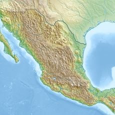
Guatemala–Mexico border, International border in Central America.
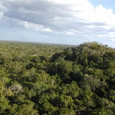
The Guatemala–Mexico border extends 871 kilometers through mountains, rivers, and tropical rainforest. It runs from the Pacific coast to the Gulf of Mexico, crossing regions with dense vegetation and remote valleys.
Guatemala and Mexico signed a border treaty in Mexico City in 1882, dividing the disputed territories of Chiapas and Soconusco. Defining the line ended decades of territorial tensions between both states.
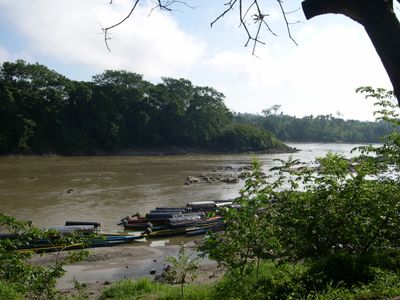
The Suchiate River serves as a daily crossing point where people ferry goods between both banks on improvised rafts. This traditional form of exchange connects families and traders who have lived on both sides for generations.
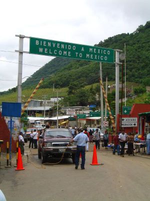
Eleven official crossing points operate along the line, with Ciudad Hidalgo and Tecún Umán being the busiest. Travelers should allow extra time and have all required documents ready, as inspection times vary depending on the hour.
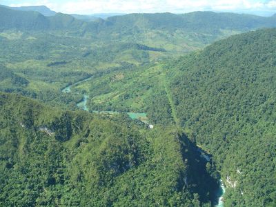
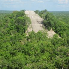
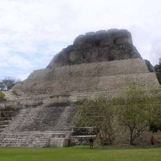
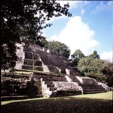
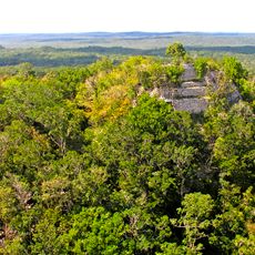
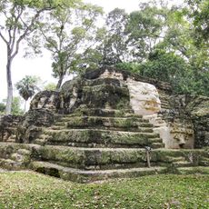
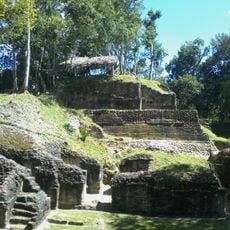
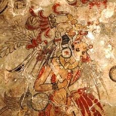
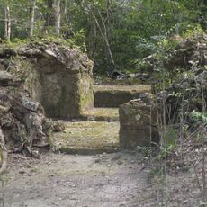
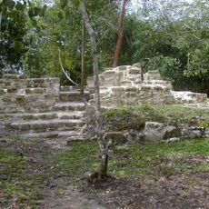
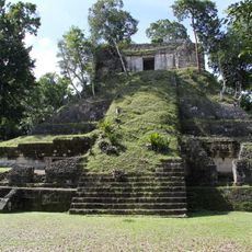
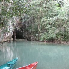
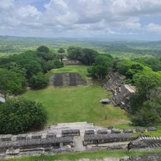
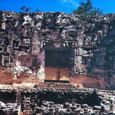
The Usumacinta River forms a section of the boundary and flows past several Maya archaeological sites. Some of these ruins sit right on the water and were once key trading nodes along this natural route.
The community of curious travelers
AroundUs brings together thousands of curated places, local tips, and hidden gems, enriched daily by 60,000 contributors worldwide.