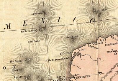
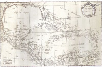
Bermeja Island, Phantom island in Gulf of Mexico
Bermeja Island is a phantom island in the Gulf of Mexico located northeast of the Yucatan Peninsula in waters around coordinates 22.55°N 91.37°W. The location exists only on historical maps and surveying records, never in the actual physical world.
Spanish cartographer Alonso de Santa Cruz first documented this phantom location in his 1539 publication 'El Yucatán e Islas Adyacentes'. It remained on maritime maps for centuries afterward until modern research cast doubt on whether it had ever truly existed.
The island appeared on countless maps for centuries and shaped how people understood territorial boundaries in the Gulf region. Sailors once navigated by its recorded position as if it were a real landmark.
This location lies in remote ocean waters and remains inaccessible for visits. Anyone interested in this mapping mystery will find more information through archives and museums focused on Spanish exploration and maritime history rather than by seeking the site itself.
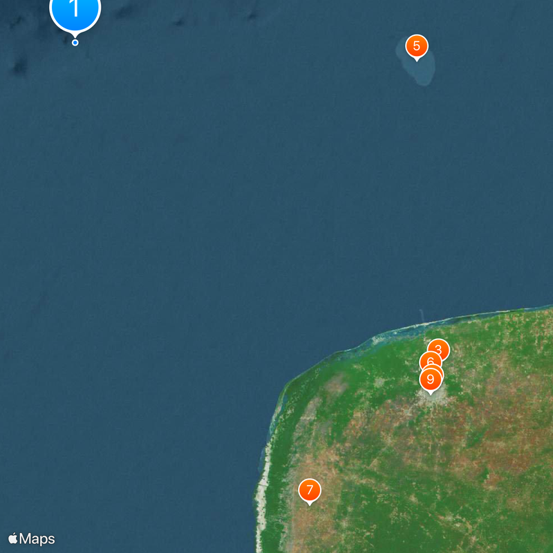
Mexico conducted a scientific expedition to the suspected location in 2009 to finally settle the question. UNAM researchers found no physical evidence there, deepening the puzzle rather than solving it.
The community of curious travelers
AroundUs brings together thousands of curated places, local tips, and hidden gems, enriched daily by 60,000 contributors worldwide.