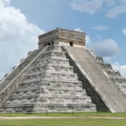
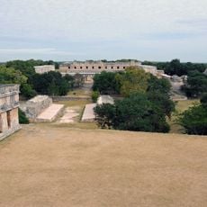
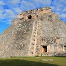
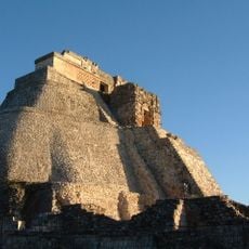
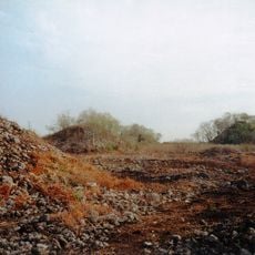
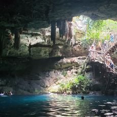
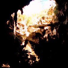
Oxkintok, Maya archaeological site in Puuc region, Yucatan, Mexico.
Oxkintok is a Maya archaeological site in the Puuc hills near Maxcanú, Yucatán. Its main groups include the May and Ah Canul complexes, where a pyramid with painted walls was later filled with large blocks to support later construction. At the east end of Ah Canul stand the stone figures called the "hombres de piedra", carved with rope-decorated garments and animal pectorals.
Oxkintok was occupied from roughly 600 BCE to 1500 CE, becoming a major center between the Early and Terminal Classic periods. Its Structure 6 lintel in the Canul group carries a Long Count date of 475 CE, among the earliest known in the Maya lowlands, and the latest monument records 859 CE. Excavations by Miguel Rivera Dorado's Oxkintok Project from 1986 to 1991 and later INAH work uncovered a burial chamber holding one of the site's rulers.
The name Oxkintok comes from Yucatec Maya: óox (three), k'iin (sun) and took' (flint or stone), giving "the stone of the three suns". The pre-Columbian name of the city is unknown. The site is little visited on the Puuc Route, and Maya tradition holds that a secret door to Xibalbá, the underworld, lies here. The stone figures at the east end of the Ah Canul group wear rope-decorated garments, mesh vests and animal pectorals.
The site is accessible during daylight hours and is a short drive south of Merida in a manageable distance. Wear comfortable walking shoes since the pathways cross uneven ground and stairs lead up to the elevated structures.
The Satunsat structure was built as a three-level stone maze featuring narrow passages and chambers that replicate an underground cave system. This building may have served as a ritual space where visitors intentionally navigated confusing pathways.
The community of curious travelers
AroundUs brings together thousands of curated places, local tips, and hidden gems, enriched daily by 95,284 contributors worldwide.