Enable Location

We need your location to show you interesting places around you

Discover nearby places

Find interesting locations and hidden gems around you

Precise directions

Get accurate directions and distances to places

Your location is never shared with other users. It's only used when you tap the location button.

Lafourche Parish

Log in to your account

Start exploring — it's free

Trusted by 63,757 travelers worldwide

Continue with Google
Continue with Apple
or

We will send you a code to connect

By continuing, you accept our Terms and Conditions and our Privacy Policy

Check your inbox

We've sent a pincode in your inbox. Please enter the code below.

Discussion Reviews 1 Photos
31.2k Popularity

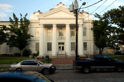
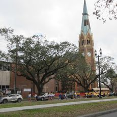
Lafourche Parish, Administrative division in Louisiana, United States.

Lafourche Parish is an administrative division in Louisiana governed by nine council members and an elected Parish President. The jurisdiction spans multiple communities and provides services including permit applications and emergency systems for residents.

The administration shifted from a Police Jury System to a Home Rule Charter in 1974 following Louisiana's new constitution. This change gave the area greater control over its own affairs and modernized its governance structure.

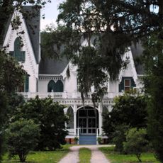
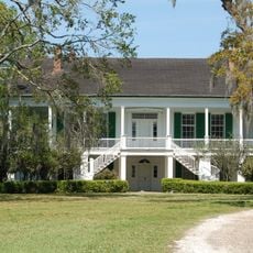
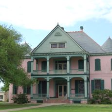
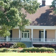
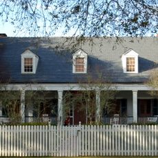
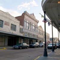
The name Lafourche comes from French and means 'the fork,' referencing how Bayou Lafourche branches off from the Mississippi River. French influence remains visible throughout the area in place names and local traditions that shape daily life.

Access to local services happens mainly through the official website, where residents can submit forms and find information. It helps to visit the website ahead of time to understand how permits and emergency alerts work.

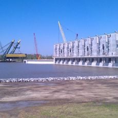
The administration focuses on specialized programs like Coastal Zone Management, reflecting the area's particular challenges. These programs show how locally adapted solutions were developed to meet the region's needs and environmental conditions.

The community of curious travelers

AroundUs brings together thousands of curated places, local tips, and hidden gems, enriched daily by 60,000 contributors worldwide.

Start exploring
Location
Inception
1807
Capital city
Thibodaux
Shares border with
St. James Parish, Assumption Parish, Terrebonne Parish, St. John the Baptist Parish, St. Charles Parish, Jefferson Parish
GPS coordinates
29.49000,-90.40000
Latest update
December 20, 2025 01:36
Around this place
Laurel Valley Sugar Plantation
United States of America

Laurel Valley Sugar Plantation

50.3 km
NOLA Motorsports Park
United States of America

NOLA Motorsports Park

48 km
17th Ward of New Orleans
United States of America

17th Ward of New Orleans

57.2 km
United States of America

Magnolia Plantation

47.6 km
Bayou Segnette State Park
United States of America

Bayou Segnette State Park

51.7 km
United States of America

Louisiana Highway 1 Bridge

35.5 km
United States of America

TPC of Louisiana

49.7 km
12th Ward of New Orleans
United States of America

12th Ward of New Orleans

57.2 km
Manning Field at John L. Guidry Stadium
United States of America

Manning Field at John L. Guidry Stadium

51.2 km
Gulf Intracoastal Waterway West Closure Complex
United States of America

Gulf Intracoastal Waterway West Closure Complex

48.4 km
Ardoyne Plantation House
United States of America

Ardoyne Plantation House

44.3 km
Basilica of St. Stephen
United States of America

Basilica of St. Stephen

56.1 km
Rienzi Plantation House
United States of America

Rienzi Plantation House

53.2 km
Southdown Plantation
United States of America

Southdown Plantation

34.7 km
St. Joseph Co-Cathedral
United States of America

St. Joseph Co-Cathedral

52.8 km
Ducros Plantation
United States of America

Ducros Plantation

50 km
United States of America

Chacahoula Swamp Bridge

51.1 km
Mary Plantation House
United States of America

Mary Plantation House

52.2 km
Edward Douglass White House
United States of America

Edward Douglass White House

43.4 km
Cathedral of St. Francis de Sales
United States of America

Cathedral of St. Francis de Sales

33.4 km
Segnette Field
United States of America

Segnette Field

51.4 km
Mandalay National Wildlife Refuge
United States of America

Mandalay National Wildlife Refuge

39.4 km
St. George Plantation House
United States of America

St. George Plantation House

48.2 km
United States of America

Sims Site

40.9 km
Chatchie Plantation House
United States of America

Chatchie Plantation House

47.6 km
Orange Grove Plantation House
United States of America

Orange Grove Plantation House

42.4 km
Judge Perez Bridge
United States of America

Judge Perez Bridge

56.9 km
Elkins Hall
United States of America

Elkins Hall

51.5 km
Show the full map
Reviews
Share your experience

No review yet

Discussions
Start a discussion...

No discussion yet

Administrative divisions
« Lafourche Parish - Administrative division in Louisiana, United States » is provided by Around Us (aroundus.com). Images and texts are derived from Wikimedia project under a Creative Commons license. You are allowed to copy, distribute, and modify copies of this page, under the conditions set by the license, as long as this note is clearly visible.

Discover hidden gems everywhere you go!

From secret cafés to breathtaking viewpoints, skip the crowded tourist spots and find places that match your style. Our app makes it easy with voice search, smart filtering, route optimization, and insider tips from travelers worldwide. Download now for the complete mobile experience.

Around Us App Screenshot

A unique approach to discovering new places

Le Figaro

All the places worth exploring

France Info

A tailor-made excursion in just a few clicks

20 Minutes

Around Us
Travel Guide & Maps
Download

Send to your phone

QR Code
1

Open the camera app on your mobile.

2

Point at the QR code with your camera. A notification will appear.

3

Tap the notification to open the link.