Chest opened
+${chestReward.xp} XP
Explorer
NOUVEAU ×${chestReward.collectible.quantity}
tapez pour fermer
Chest locked

Open chests in the app

Around Us is built for your phone — chests unlock when you walk, explore and capture nearby places.

Enable Location

We need your location to show you interesting places around you

Discover nearby places

Find interesting locations and hidden gems around you

Precise directions

Get accurate directions and distances to places

Your location is never shared with other users. It's only used when you tap the location button.

Barataria Bay

Log in to your account

Start exploring — it's free

Trusted by 72,986 travelers worldwide

Continue with Google
Continue with Apple
or

We will send you a code to connect

By continuing, you accept our Terms and Conditions and our Privacy Policy

Check your inbox

We've sent a pincode in your inbox. Please enter the code below.

Barataria Bay
Discussion Reviews 2 Photos
23.1k Popularity

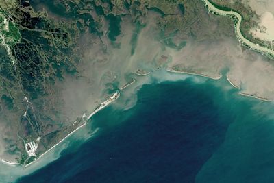
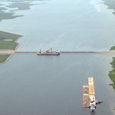
Barataria Bay, Coastal bay in southeastern Louisiana, United States.

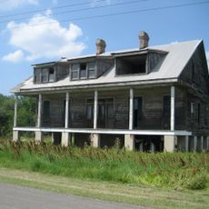
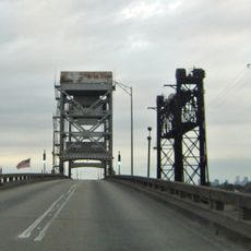
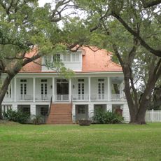
Barataria Bay is a coastal bay in southeastern Louisiana characterized by numerous islands, marshy areas, and barrier islands such as Grand Isle. The system consists of shallow, interwoven waterways that connect to the Gulf Intracoastal system through passes near Grand Isle.

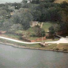
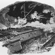
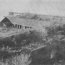
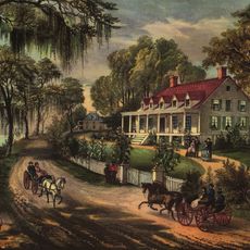
The bay served as a strategic base for Jean Lafitte and his pirate group during the early 1800s, who conducted smuggling operations. This era of piracy shaped the waterway and its role in regional commerce.

The name comes from Cervantes' novel Don Quixote, referring to the fictional island of Barataria ruled by the character Sancho Panza. This literary origin reflects how historical traders and seafarers named these waters, blending imagination into the map of the coast.

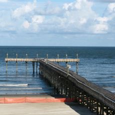
The bay is most accessible by water, with commercial and recreational boats serving as the main routes for visitors. Be mindful of shallow waters, tidal conditions, and seasonal availability of fishing spots and charter services before visiting.

The Environmental Protection Agency designated this estuary system as nationally significant for serving as a nursery for marine life and habitat for migratory birds. This makes it ecologically critical despite its modest appearance.

The community of curious travelers

AroundUs brings together thousands of curated places, local tips, and hidden gems, enriched daily by 60,000 contributors worldwide.

Start exploring
Location
GPS coordinates
29.37411,-89.93813
Latest update
December 20, 2025 14:52
Around this place
Fort Jackson
United States of America

Fort Jackson

46.9 km
NOLA Motorsports Park
United States of America

NOLA Motorsports Park

62 km
Mississippi River – Gulf Outlet Canal
United States of America

Mississippi River – Gulf Outlet Canal

60.2 km
17th Ward of New Orleans
United States of America

17th Ward of New Orleans

60.4 km
Fort St. Philip
United States of America

Fort St. Philip

46.1 km
Fort Proctor
United States of America

Fort Proctor

60.4 km
Fort Livingston
United States of America

Fort Livingston

11.2 km
Bayou Segnette State Park
United States of America

Bayou Segnette State Park

62.5 km
Woodland Plantation
United States of America

Woodland Plantation

25.7 km
12th Ward of New Orleans
United States of America

12th Ward of New Orleans

60.8 km
Grand Isle State Park
United States of America

Grand Isle State Park

13 km
Gulf Intracoastal Waterway West Closure Complex
United States of America

Gulf Intracoastal Waterway West Closure Complex

50.7 km
Kenilworth Plantation House
United States of America

Kenilworth Plantation House

56.2 km
St. Bernard State Park
United States of America

St. Bernard State Park

54.4 km
Mary Plantation House
United States of America

Mary Plantation House

48.2 km
Segnette Field
United States of America

Segnette Field

62.9 km
Harlem Plantation House
United States of America

Harlem Plantation House

28.1 km
Bayou Grande Cheniere Mounds
United States of America

Bayou Grande Cheniere Mounds

19.6 km
Judge Perez Bridge
United States of America

Judge Perez Bridge

55.8 km
Promised Land
United States of America

Promised Land

47.3 km
Bouverans Plantation House
United States of America

Bouverans Plantation House

62.2 km
Gretna Historic District
United States of America

Gretna Historic District

61.5 km
Old Jefferson Parish Courthouse
United States of America

Old Jefferson Parish Courthouse

61.6 km
Kerner House
United States of America

Kerner House

62.7 km
St. Patrick's Catholic Church
United States of America

St. Patrick's Catholic Church

31.5 km
Los Isleños Museum Complex
United States of America

Los Isleños Museum Complex

55.7 km
Sebastopol Plantation
United States of America

Sebastopol Plantation

55.4 km
Manila Village
United States of America

Manila Village

44.1 km
Show the full map
Reviews
Share your experience

No review yet

Discussions
Start a discussion...

No discussion yet

« Barataria Bay - Coastal bay in southeastern Louisiana, United States » is provided by Around Us (aroundus.com). Images and texts are derived from Wikimedia project under a Creative Commons license. You are allowed to copy, distribute, and modify copies of this page, under the conditions set by the license, as long as this note is clearly visible.

Discover hidden gems everywhere you go!

From secret cafés to breathtaking viewpoints, skip the crowded tourist spots and find places that match your style. Our app makes it easy with voice search, smart filtering, route optimization, and insider tips from travelers worldwide. Download now for the complete mobile experience.

Around Us App Screenshot

A unique approach to discovering new places

Le Figaro

All the places worth exploring

France Info

A tailor-made excursion in just a few clicks

20 Minutes

Around Us
Travel Guide & Maps
Download

Send to your phone

QR Code
1

Open the camera app on your mobile.

2

Point at the QR code with your camera. A notification will appear.

3

Tap the notification to open the link.