Plaquemines Parish

Log in to your account

AroundUs is a community-driven map of interesting places, built by curious explorers like you. It grows with every review, story, and photo you share.
Connect to save your favorite spots, contribute locations, and create personalized routes.
Continue with Google
Continue with Apple
Continue with X
Continue with Facebook
Continue with email
By continuing, you accept our Terms and Conditions and our Privacy Policy
Create an account
Add to collection
Map
Suggest a change
Share

Plaquemines Parish, Administrative division in Louisiana, USA

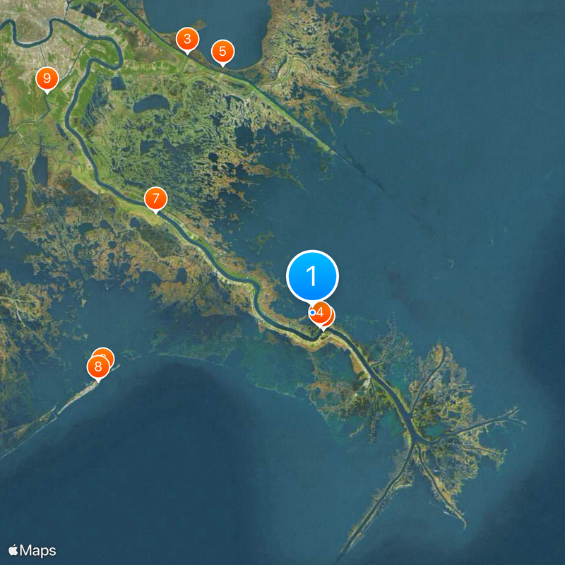
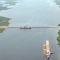
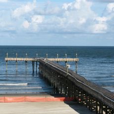
Plaquemines Parish is an administrative area in Louisiana that extends from the southern edge of New Orleans down to the Gulf of Mexico along the Mississippi River. The region consists largely of water, marshes, and interconnected waterways that define its landscape and geography.

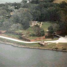
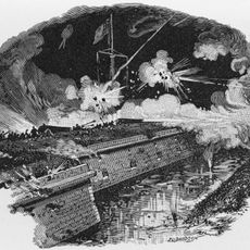
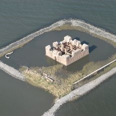
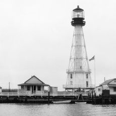
The French established La Balize settlement in 1699, building a fort that served as a critical post for river pilots and navigation. This early foothold made the region important for controlling access and movement along the Mississippi.

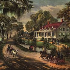
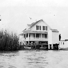
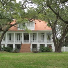
The name comes from the Atakapa word piakimin, meaning persimmon, a fruit once common in the area. Life here revolves around fishing and water-based traditions that have shaped the community for generations.

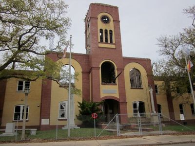
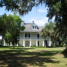
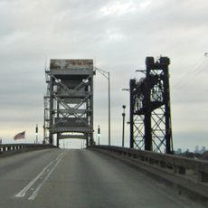
The administrative seat is located in Pointe à la Hache, while Belle Chasse is the largest community in the area. Getting around is easiest by boat or car along the main routes that connect the scattered settlements.

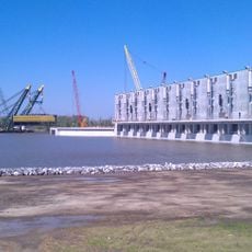
Roughly 70 percent of the region is water, making it one of the most water-filled areas in the country. This extensive network of waterways shapes daily life and forms the backbone of the local economy.

Location: Louisiana

Inception: 1807

Capital city: Pointe à la Hache

Shares border with: St. Bernard Parish, Orleans Parish, Jefferson Parish

Website: http://plaqueminesparish.com

GPS coordinates: 29.39000,-89.48000

Latest update: December 14, 2025 19:38

Photos
Around this place
Fort Jackson
United States of America

Fort Jackson

4.3 km
Mississippi River – Gulf Outlet Canal
United States of America

Mississippi River – Gulf Outlet Canal

61.9 km
Fort St. Philip
United States of America

Fort St. Philip

3.4 km
Fort Proctor
United States of America

Fort Proctor

56.5 km
Fort Livingston
United States of America

Fort Livingston

47 km
Woodland Plantation
United States of America

Woodland Plantation

40 km
Grand Isle State Park
United States of America

Grand Isle State Park

48.3 km
Gulf Intracoastal Waterway West Closure Complex
United States of America

Gulf Intracoastal Waterway West Closure Complex

74.1 km
United States of America

Fort De La Boulaye

53.4 km
United States of America

Delta National Wildlife Refuge

31.3 km
Kenilworth Plantation House
United States of America

Kenilworth Plantation House

62.2 km
Pass A L'Outre Light
United States of America

Pass A L'Outre Light

48.4 km
St. Bernard State Park
United States of America

St. Bernard State Park

66.4 km
Mary Plantation House
United States of America

Mary Plantation House

68.2 km
Ship Shoal Light
United States of America

Ship Shoal Light

51.6 km
Harlem Plantation House
United States of America

Harlem Plantation House

48.6 km
South Pass Range Lights
United States of America

South Pass Range Lights

51.6 km
Bayou Grande Cheniere Mounds
United States of America

Bayou Grande Cheniere Mounds

32.5 km
Judge Perez Bridge
United States of America

Judge Perez Bridge

74.1 km
Promised Land
United States of America

Promised Land

67.9 km
Frank's Island Light
United States of America

Frank's Island Light

52.3 km
St. Patrick's Catholic Church
United States of America

St. Patrick's Catholic Church

15.8 km
United States of America

Queen Bess Island Wildlife Refuge

43.6 km
Los Isleños Museum Complex
United States of America

Los Isleños Museum Complex

64.8 km
Sebastopol Plantation
United States of America

Sebastopol Plantation

65.4 km
United States of America

Bayou Barriere Golf Course

74 km
United States of America

Timberlane Country Club

76.9 km
United States of America

Stonebridge Golf Club of New Orleans

74.5 km
Show the full map
Reviews

Visited this place? Tap the stars to rate it and share your experience / photos with the community! Try now! You can cancel it anytime.

Administrative divisions
« Plaquemines Parish - Administrative division in Louisiana, USA » is provided by Around Us (aroundus.com). Images and texts are derived from Wikimedia project under a Creative Commons license. You are allowed to copy, distribute, and modify copies of this page, under the conditions set by the license, as long as this note is clearly visible.

Discover hidden gems everywhere you go!

From secret cafés to breathtaking viewpoints, skip the crowded tourist spots and find places that match your style. Our app makes it easy with voice search, smart filtering, route optimization, and insider tips from travelers worldwide. Download now for the complete mobile experience.

Around Us App Screenshot

A unique approach to discovering new places

Le Figaro

All the places worth exploring

France Info

A tailor-made excursion in just a few clicks

20 Minutes