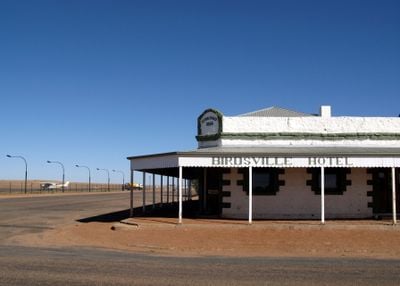
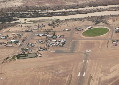
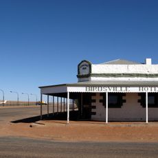
Birdsville, Administrative center in Diamantina Shire, Queensland, Australia.
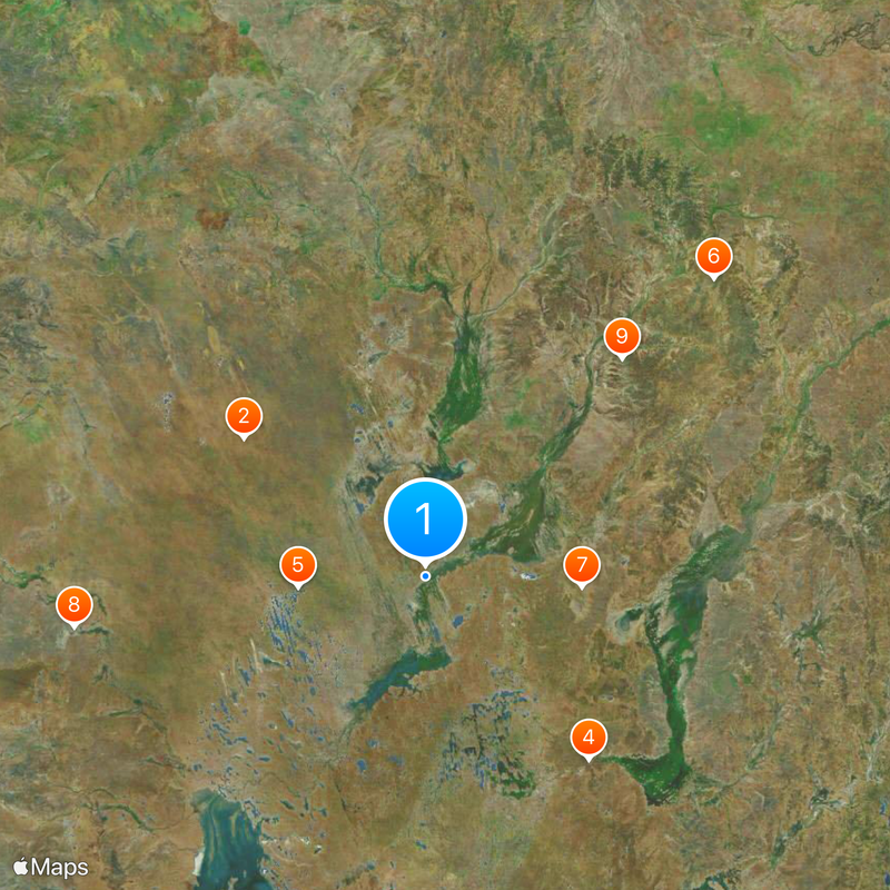
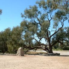
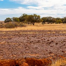
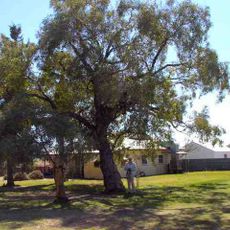
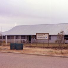
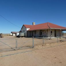
Birdsville is a small town serving as the administrative center of the Shire of Diamantina in remote western Queensland. The settlement sits in a vast, sparsely populated region where the nearest major city lies several hours away by road.
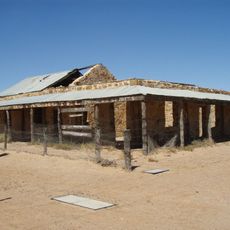
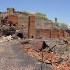
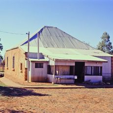
The town emerged during the 1880s as a supply point for the region during early pastoral and mining activity. It became the administrative center when the Shire was formally established in 1903.
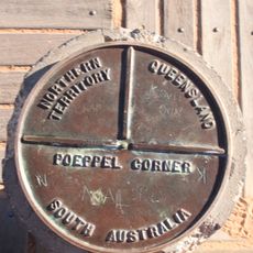
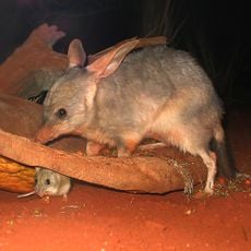
The administrative region contains speakers of three Aboriginal languages: Wangkangurru, Yawarrawarrka, and Karuwali, representing different traditional territories within the area.
The nearest fuel and supplies are often hours away, so bring plenty of water and fill up your tank before traveling through the area. Check road conditions beforehand as tracks can become impassable during wet season rains.
The area is known for the annual Birdsville Horse Races, which draw visitors from across Australia and beyond. The event transforms the otherwise quiet settlement into a lively gathering where horse racing and social activities take center stage.
The community of curious travelers
AroundUs brings together thousands of curated places, local tips, and hidden gems, enriched daily by 60,000 contributors worldwide.