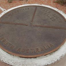
Haddon Corner, Survey marker and heritage site at Queensland-South Australia border intersection
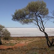
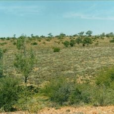
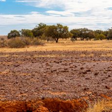
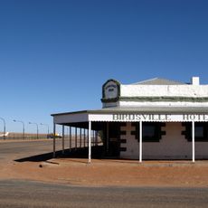
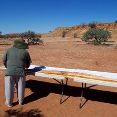
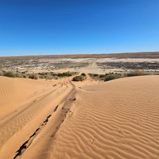
Haddon Corner is a concrete pillar standing at the intersection where the 26th parallel south meets the 141st meridian east, marking the border between Queensland and South Australia. The modest marker sits in the remote Channel Country region where state boundaries are clearly defined by geographical coordinates.
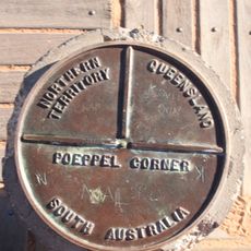
Augustus Poeppel and Lawrence Wells established this marker in 1880 during surveying expeditions aimed at defining the boundary between Queensland and South Australia. This early marker was a key step in clearly establishing state borders across the remote interior.
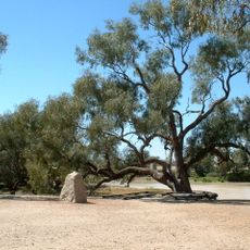
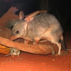
The site sits on traditional lands of Karuwali-speaking Indigenous peoples, representing a point where colonial boundaries intersect with older territorial landscapes. Walking around this spot connects you to the long presence of First Nations communities in the Channel Country region.
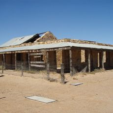
The site is located in a remote, arid region requiring careful preparation before visiting. Bring plenty of water and supplies, and use a sturdy vehicle since roads in this area are basic and distances between services are considerable.
This marker was officially listed on the Queensland Heritage Register in 2012, acknowledging its importance in the history of Australian boundary surveying. The recognition highlights how this small structure played a significant role in establishing state borders across the continent.
The community of curious travelers
AroundUs brings together thousands of curated places, local tips, and hidden gems, enriched daily by 60,000 contributors worldwide.