Enable Location

We need your location to show you interesting places around you

Discover nearby places

Find interesting locations and hidden gems around you

Precise directions

Get accurate directions and distances to places

Your location is never shared with other users. It's only used when you tap the location button.

Durango

Log in to your account

Start exploring — it's free

Trusted by 62,098 travelers worldwide

Continue with Google
Continue with Apple
or

We will send you a code to connect

By continuing, you accept our Terms and Conditions and our Privacy Policy

Check your inbox

We've sent a pincode in your inbox. Please enter the code below.

Durango, State administrative division in northwest Mexico.

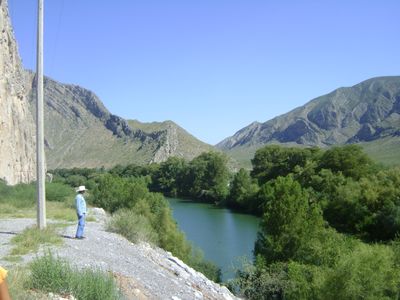
Durango is a state in northwestern Mexico that runs from the Sierra Madre Occidental range to desert plains. The territory covers different elevations with forested mountain slopes in the west and dry landscapes in the east.

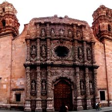
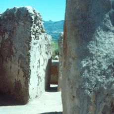
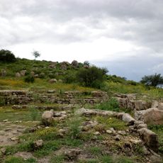
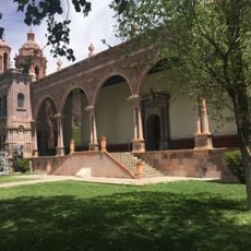
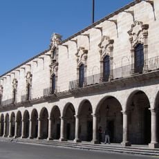
Silver deposits drew Spanish colonists to the region in the 16th century and shaped the early economy. Mining areas remained active into the 19th century and left behind mountain mining towns.

The name comes from a Basque town and appears throughout the region in local place names. Leatherwork and textile crafts follow methods passed down through generations, visible in workshops across smaller towns.

Travel between areas takes time due to long distances and changing road conditions. Elevation differences affect climate strongly, so clothing for different temperatures is recommended.

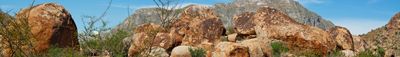
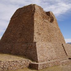
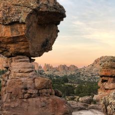
Rock spires in Sierra de Órganos National Park rise vertically from the ground and form columns up to 200 meters (656 feet) high. These geological formations served as backdrops for Western films in the 1960s.

The community of curious travelers

AroundUs brings together thousands of curated places, local tips, and hidden gems, enriched daily by 60,000 contributors worldwide.

Start exploring
Location
Inception
1824
Capital city
Durango
Elevation above the sea
1,966 m
Reference
DUR
Part of
Northern Mexico
Shares border with
Chihuahua, Coahuila, Zacatecas
GPS coordinates
24.93472,-104.91194
Latest update
December 15, 2025 02:17
Administrative divisions
« Durango - State administrative division in northwest Mexico » is provided by Around Us (aroundus.com). Images and texts are derived from Wikimedia project under a Creative Commons license. You are allowed to copy, distribute, and modify copies of this page, under the conditions set by the license, as long as this note is clearly visible.

Discover hidden gems everywhere you go!

From secret cafés to breathtaking viewpoints, skip the crowded tourist spots and find places that match your style. Our app makes it easy with voice search, smart filtering, route optimization, and insider tips from travelers worldwide. Download now for the complete mobile experience.

Around Us App Screenshot

A unique approach to discovering new places

Le Figaro

All the places worth exploring

France Info

A tailor-made excursion in just a few clicks

20 Minutes

Around Us
Travel Guide & Maps
Download

Send to your phone

QR Code
1

Open the camera app on your mobile.

2

Point at the QR code with your camera. A notification will appear.

3

Tap the notification to open the link.