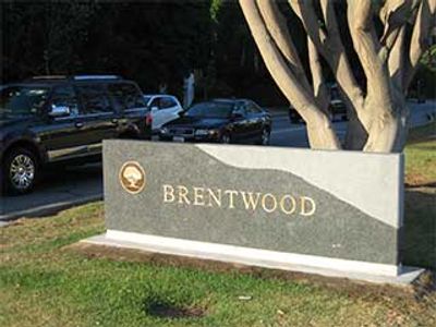
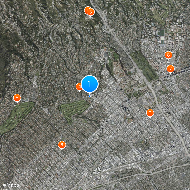
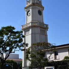
Brentwood, Residential neighborhood in Los Angeles, United States
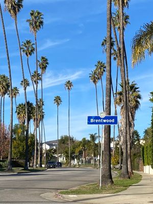
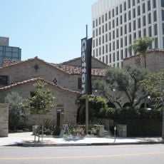
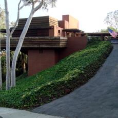
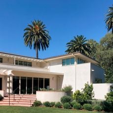
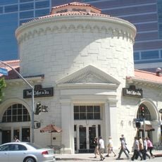
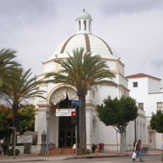
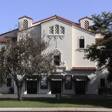
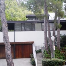
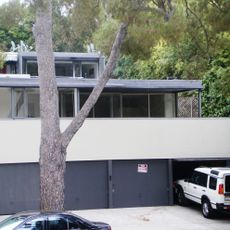
Brentwood is an upscale residential area in Los Angeles stretching from flatlands to the foothills of the Santa Monica Mountains, bordered by Westwood, Santa Monica, and Pacific Palisades. Wide, tree-shaded streets wind past houses and estates often set back behind hedges and gardens, while low-rise shopping centers along main roads host neighborhood stores and cafés.
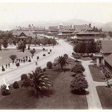
The area originally belonged to the Mexican land grant Rancho San Vicente y Santa Mónica until it was subdivided in the 1880s and began settling gradually after the opening of a streetcar line. Development accelerated after World War II, when flatlands filled with single-family homes and hillside properties attracted buyers seeking views and quiet.
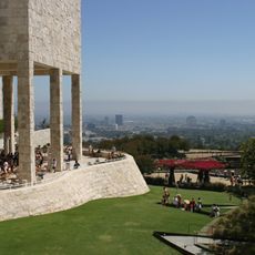
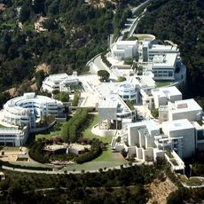
The Getty Center, positioned at Brentwood's northern edge, contains extensive collections of European paintings, decorative arts, and photographs in multiple pavilions.
Most streets run quiet and shaded, suitable for walking or cycling, and connect to paths leading to trailheads in the nearby mountains. On Sunday mornings, the area around the farmers market on Gretna Green Way fills with locals shopping for produce, baked goods, and prepared foods.
Several public stairways wind between streets in the steeper sections, offering shortcuts for walkers climbing or descending the slopes. These staircases were originally built in the 1920s and 1930s, when construction crews needed quick connections between property tiers.
The community of curious travelers
AroundUs brings together thousands of curated places, local tips, and hidden gems, enriched daily by 60,000 contributors worldwide.