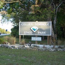
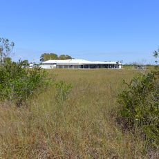
Wilderness Waterway, Water trail across Everglades National Park, Florida
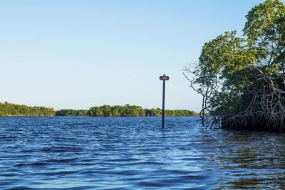
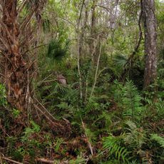
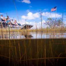
Wilderness Waterway is a 99-mile paddle route threading through mangrove forests, wetlands, and coastal areas between Flamingo and Everglades City. The path includes narrow channels where water levels change seasonally and obstacles like fallen trees require careful maneuvering.
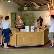
The trail was developed to protect southern Florida's wild spaces and provide recreational access to remote areas that would otherwise remain difficult to explore safely. Its designation as a National Recreation Trail solidified protection measures for the surrounding wilderness.
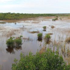
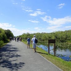
The waterway serves as a natural classroom where paddlers witness the interconnected ecosystems that have sustained people and wildlife for generations. Visitors experience firsthand how mangroves and wetlands function as a living landscape rather than viewing nature from a distance.
Paddlers need solid navigation skills and tidal knowledge since water levels shift dramatically and shallow spots are common along the route. The best paddling season runs from October through March when weather is more stable and insects are less bothersome.
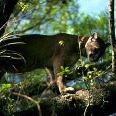
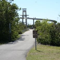
Paddlers navigate a maze of mangrove channels where GPS becomes unreliable and traditional nautical charts prove more useful than modern gadgets. These remote waters host wildlife encounters rarely found elsewhere in Florida.
The community of curious travelers
AroundUs brings together thousands of curated places, local tips, and hidden gems, enriched daily by 60,000 contributors worldwide.