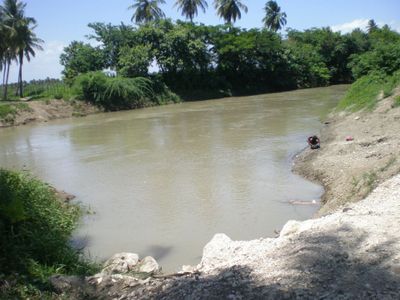
Yaque del Sur, River in southwestern Dominican Republic
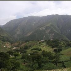
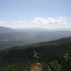
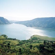
The Yaque del Sur is a river in the southwestern Dominican Republic, rising in the Cordillera Central mountains and emptying into the Caribbean Sea. It flows through the provinces of San Juan and Barahona, making it the main watercourse of the country's southwest.
The river was mapped during the Spanish exploration of Hispaniola in the late 15th century and was recognized early on as a key geographic feature of the island. Over time, irrigation works were built along its course, gradually shaping the farming character of the southwestern region.
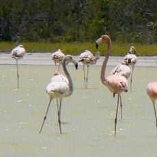
The name Yaque comes from the Taino language, spoken by the original people of Hispaniola, and is shared by two major rivers on the island. Along the banks, farming life is very visible, with fields and irrigation channels shaping much of what a visitor sees when traveling through the area.
The dry season is the best time to visit, when water levels drop and the riverbanks are easier to reach on foot. Access is generally possible from nearby towns, though conditions along the river can vary a lot depending on the section and the time of year.
Despite being in one of the driest parts of Hispaniola, the river feeds irrigation systems that support rice, plantains, sugarcane, and peanuts all in the same region. This mix of crops makes the southwestern lowlands one of the most productive farming areas on the island.
The community of curious travelers
AroundUs brings together thousands of curated places, local tips, and hidden gems, enriched daily by 60,000 contributors worldwide.