Chest opened
+${chestReward.xp} XP
Explorer
NOUVEAU ×${chestReward.collectible.quantity}
tapez pour fermer
Chest locked

Open chests in the app

Around Us is built for your phone — chests unlock when you walk, explore and capture nearby places.

Enable Location

We need your location to show you interesting places around you

Discover nearby places

Find interesting locations and hidden gems around you

Precise directions

Get accurate directions and distances to places

Your location is never shared with other users. It's only used when you tap the location button.

McClellanville

Log in to your account

Start exploring — it's free

Trusted by 72,890 travelers worldwide

Continue with Google
Continue with Apple
or

We will send you a code to connect

By continuing, you accept our Terms and Conditions and our Privacy Policy

Check your inbox

We've sent a pincode in your inbox. Please enter the code below.

Discussion Reviews 1 Photos
19.2k Popularity

McClellanville, Coastal town in Charleston County, South Carolina.

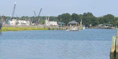
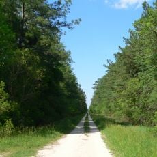
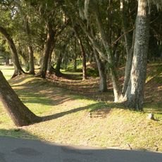
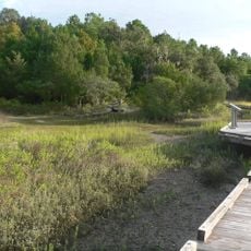
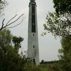
McClellanville is a coastal town in Charleston County that sits along Jeremy Creek and connects to the Atlantic Ocean through salt marshes and waterways. The settlement is surrounded by Francis Marion National Forest and sits within a landscape shaped by water and wetlands.

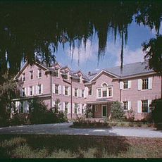
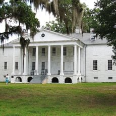
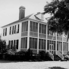
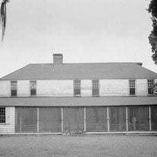
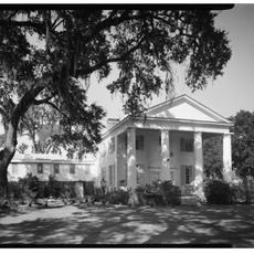
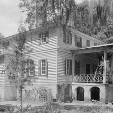
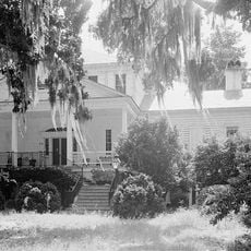
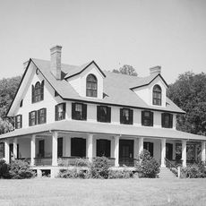
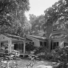
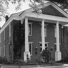
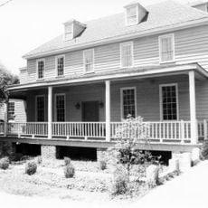
The town was founded in the 1860s when two landowners sold plots to planters seeking shelter from hot summers. These origins as a refuge for wealthy residents shaped how the place developed over time.

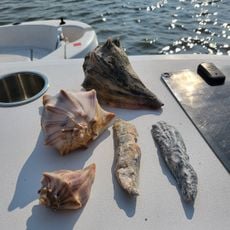
The annual Lowcountry Shrimp Festival shows how residents celebrate their connection to fishing through a blessing ceremony for boats and displays of local crafts. This celebration reflects how maritime work remains important to the identity of people who live here.

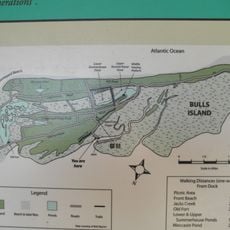
Visitors should prepare for wet weather and dense plant growth since the area is defined by wetlands and marshy terrain. Exploring the surroundings by boat or established trails is recommended to experience the waterways and forests properly.

Hurricane Hugo in 1989 forced residents to gather in a storm shelter while water rose, testing the community's ability to survive together. This event remains vivid in local memory and shapes how people today think about natural dangers.

The community of curious travelers

AroundUs brings together thousands of curated places, local tips, and hidden gems, enriched daily by 60,000 contributors worldwide.

Start exploring
Elevation above the sea
1 m
GPS coordinates
33.08895,-79.46729
Latest update
December 7, 2025 10:07
Around this place
Hobcaw Barony
United States of America

Hobcaw Barony

34.9 km
Hampton Plantation
United States of America

Hampton Plantation

12.5 km
Cape Romain National Wildlife Refuge
United States of America

Cape Romain National Wildlife Refuge

14 km
Hopsewee
United States of America

Hopsewee

15.6 km
Middleburg Plantation
United States of America

Middleburg Plantation

35.1 km
Wedge Plantation
United States of America

Wedge Plantation

11.2 km
Hell Hole Swamp
United States of America

Hell Hole Swamp

26.9 km
Annandale Plantation
United States of America

Annandale Plantation

20.9 km
Fairfield Plantation
United States of America

Fairfield Plantation

12 km
Harrietta Plantation
United States of America

Harrietta Plantation

11.3 km
Battery White
United States of America

Battery White

28.8 km
Georgetown Light
United States of America

Georgetown Light

30.2 km
Pee Dee River Rice Planters Historic District
United States of America

Pee Dee River Rice Planters Historic District

17.8 km
Temple Beth Elohim
United States of America

Temple Beth Elohim

35.6 km
Bethel African Methodist Episcopal Church
United States of America

Bethel African Methodist Episcopal Church

991 m
Wicklow Hall Plantation
United States of America

Wicklow Hall Plantation

19.8 km
Georgetown Historic District
United States of America

Georgetown Historic District

35.4 km
Joseph H. Rainey House
United States of America

Joseph H. Rainey House

35.5 km
Sewee Mound
United States of America

Sewee Mound

16.8 km
Charleston Fun Park
United States of America

Charleston Fun Park

38.1 km
Winyah Indigo School
United States of America

Winyah Indigo School

35.8 km
Bull Island
United States of America

Bull Island

24.1 km
Cape Romain Lighthouse
United States of America

Cape Romain Lighthouse

11.7 km
Kaminski House Museum
United States of America

Kaminski House Museum

35.3 km
Old Cape Romain Lighthouse
United States of America

Old Cape Romain Lighthouse

11.7 km
St. Mary's Church
United States of America

St. Mary's Church

35.7 km
Sewee Visitor and Environmental Education Center
United States of America

Sewee Visitor and Environmental Education Center

22.7 km
Sandy Point Beach
United States of America

Sandy Point Beach

9 km
Show the full map
Reviews
Share your experience

No review yet

Discussions
Start a discussion...

No discussion yet

« McClellanville - Coastal town in Charleston County, South Carolina » is provided by Around Us (aroundus.com). Images and texts are derived from Wikimedia project under a Creative Commons license. You are allowed to copy, distribute, and modify copies of this page, under the conditions set by the license, as long as this note is clearly visible.

Discover hidden gems everywhere you go!

From secret cafés to breathtaking viewpoints, skip the crowded tourist spots and find places that match your style. Our app makes it easy with voice search, smart filtering, route optimization, and insider tips from travelers worldwide. Download now for the complete mobile experience.

Around Us App Screenshot

A unique approach to discovering new places

Le Figaro

All the places worth exploring

France Info

A tailor-made excursion in just a few clicks

20 Minutes

Around Us
Travel Guide & Maps
Download

Send to your phone

QR Code
1

Open the camera app on your mobile.

2

Point at the QR code with your camera. A notification will appear.

3

Tap the notification to open the link.