·

Enable Location

We need your location to show you interesting places around you

Discover nearby places

Find interesting locations and hidden gems around you

Precise directions

Get accurate directions and distances to places

Your location is never shared with other users. It's only used when you tap the location button.

Fremont

Log in to your account

Start exploring — it's free

Trusted by 62,645 travelers worldwide

Continue with Google
Continue with Apple
or

We will send you a code to connect

By continuing, you accept our Terms and Conditions and our Privacy Policy

Check your inbox

We've sent a pincode in your inbox. Please enter the code below.

Fremont, Technology hub in East Bay, California, United States.

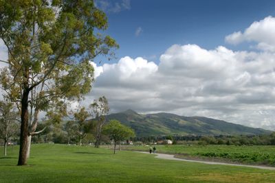
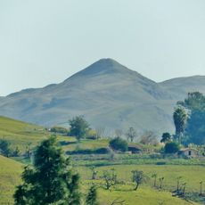
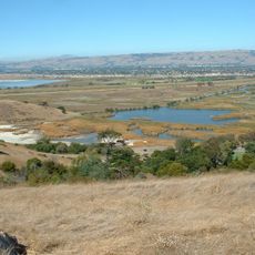
Fremont is a city in the East Bay of California, United States, bringing together five formerly separate settlements between San Francisco Bay and the eastern hills. Parks, residential neighborhoods and business districts spread across a wide area crossed by highways.

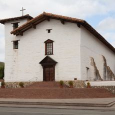
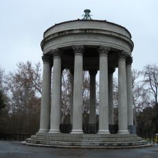
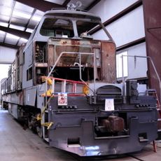
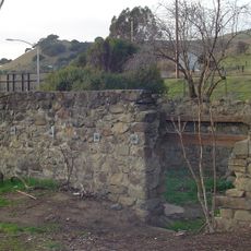
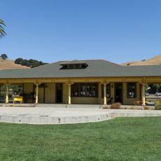
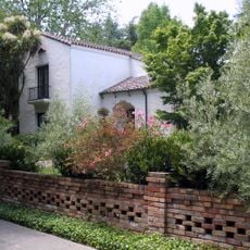
Five separate townships – Mission San José, Centerville, Niles, Irvington and Warm Springs – merged in 1956 to form one municipality. Each of these settlements had its own past, from mission outposts to railroad junctions.

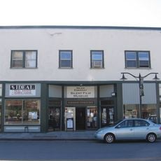
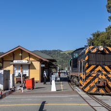
The Afghan-American community has shaped local dining and shopping, with bakeries, kabab houses and grocery stores lining certain streets. Old storefronts in Niles recall the days when silent film studios brought actors and crews to the area in the early 20th century.

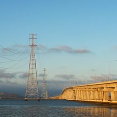
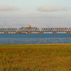
BART stations link the area to San Francisco and Oakland, while Interstates 880 and 680 offer access south and north. The different districts lie far apart, so a car or public transit helps for longer distances.

Tesla runs a large assembly plant here in a former General Motors and Toyota factory. Niles was a center of film production in the early 20th century, before Hollywood became the main hub.

The community of curious travelers

AroundUs brings together thousands of curated places, local tips, and hidden gems, enriched daily by 60,000 contributors worldwide.

Start exploring
Location
Inception
January 23, 1956
Elevation above the sea
17 m
GPS coordinates
37.54861,-121.98833
Latest update
December 15, 2025 23:13
Around this place
Mission San José
United States of America

Mission San José

6.4 km
Mission Peak
United States of America

Mission Peak

10.3 km
Dumbarton Bridge
United States of America

Dumbarton Bridge

12.3 km
Niles Canyon
United States of America

Niles Canyon

4.1 km
Don Edwards San Francisco Bay National Wildlife Refuge
United States of America

Don Edwards San Francisco Bay National Wildlife Refuge

8.6 km
Coyote Creek
United States of America

Coyote Creek

11.5 km
Ardenwood Historic Farm
United States of America

Ardenwood Historic Farm

5.5 km
Sunol Water Temple
United States of America

Sunol Water Temple

10 km
Dumbarton Rail Bridge
United States of America

Dumbarton Rail Bridge

12.9 km
Coyote Hills Regional Park
United States of America

Coyote Hills Regional Park

8.1 km
Palo Alto Baylands Nature Preserve
United States of America

Palo Alto Baylands Nature Preserve

14.4 km
Eden Landing Ecological Reserve
United States of America

Eden Landing Ecological Reserve

12.5 km
Quarry Lakes Regional Recreation Area
United States of America

Quarry Lakes Regional Recreation Area

3.5 km
Mount Allison
United States of America

Mount Allison

11.7 km
Golden Gate Railroad Museum
United States of America

Golden Gate Railroad Museum

8.3 km
Aqua Adventure
United States of America

Aqua Adventure

2.5 km
Niles Essanay Silent Film Museum
United States of America

Niles Essanay Silent Film Museum

3.2 km
Vallejo Flour Mill
United States of America

Vallejo Flour Mill

3.7 km
United States of America

California Beet Sugar Company

9.3 km
Golden Gate Biosphere Reserve
United States of America

Golden Gate Biosphere Reserve

5.5 km
Niles Depot Museum
United States of America

Niles Depot Museum

3.3 km
Sky Zone
United States of America

Sky Zone

2.2 km
Dunker House
United States of America

Dunker House

17.4 km
Sunol
United States of America

Sunol

10.1 km
Secret Sidewalk
United States of America

Secret Sidewalk

5.7 km
Pacific Bus Museum
United States of America

Pacific Bus Museum

2 km
United States of America

Edison Theater

3.3 km
United States of America

Gomes Park

3.3 km
Show the full map
« Fremont - Technology hub in East Bay, California, United States » is provided by Around Us (aroundus.com). Images and texts are derived from Wikimedia project under a Creative Commons license. You are allowed to copy, distribute, and modify copies of this page, under the conditions set by the license, as long as this note is clearly visible.

Discover hidden gems everywhere you go!

From secret cafés to breathtaking viewpoints, skip the crowded tourist spots and find places that match your style. Our app makes it easy with voice search, smart filtering, route optimization, and insider tips from travelers worldwide. Download now for the complete mobile experience.

Around Us App Screenshot

A unique approach to discovering new places

Le Figaro

All the places worth exploring

France Info

A tailor-made excursion in just a few clicks

20 Minutes

Around Us
Travel Guide & Maps
Download

Send to your phone

QR Code
1

Open the camera app on your mobile.

2

Point at the QR code with your camera. A notification will appear.

3

Tap the notification to open the link.