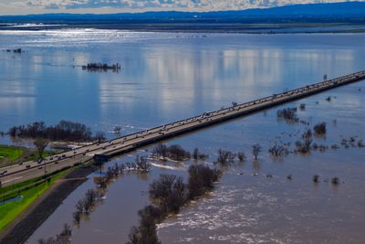
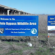
Yolo Bypass, Flood bypass in Sacramento Valley, California.
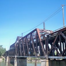
The Yolo Bypass is a large flood control area in California that stretches across roughly 60,000 acres and connects multiple counties. The system channels water from the Sacramento River away when water levels become dangerously high.
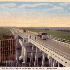
The project began in the 1930s as a response to severe flooding, following Congress approval of dam construction in the region in 1911. The construction represented one of the first comprehensive solutions to flood problems in the Sacramento Valley.
The land serves both farming and nature protection today, with visitors able to see how rice and other crops grow alongside wetlands. This shared use shows how people manage the area for different purposes.
The best time to visit is during the dry season, when paths are easier to navigate and the landscape is more accessible. Winter months can bring water across large sections, making some areas harder to reach.
Research projects use the flooded rice fields to show how fish and crop farming can exist side by side. This balance between farming and conservation offers a model for managing resources in modern times.
The community of curious travelers
AroundUs brings together thousands of curated places, local tips, and hidden gems, enriched daily by 60,000 contributors worldwide.