
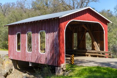
Castleberry Covered Bridge
Castleberry Covered Bridge, Modern covered bridge over Oregon Gulch Creek on Oregon Gulch Road in Oregon City, California
Location: Butte County
Inception: 1983
GPS coordinates: 39.59372,-121.52970
Latest update: November 28, 2025 14:30
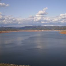
Lake Oroville
7.2 km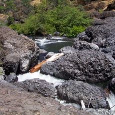
Bidwell Park
29 km
New Bullards Bar Reservoir
40.2 km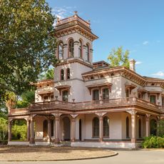
Bidwell Mansion State Historic Park
31.9 km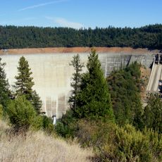
New Bullards Bar Dam
40 km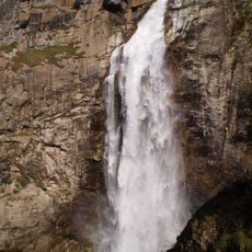
Feather Falls
22.6 km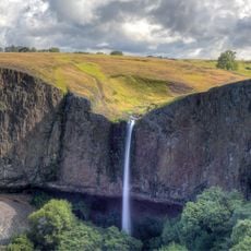
Phantom Falls
3.3 km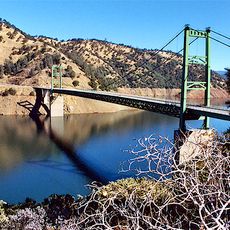
Bidwell Bar Bridge
9.8 km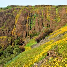
North Table Mountain Ecological Reserve
5 km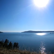
Lake Oroville State Recreation Area
7.2 km
Oroville Chinese Temple
9.3 km
Sacramento River National Wildlife Refuge
38.5 km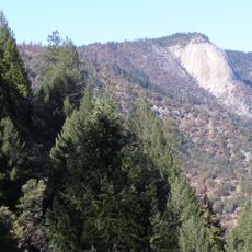
Bald Rock Dome
19.9 km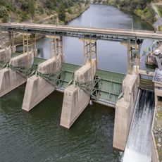
Poe Dam
25.4 km
Chico Air Museum
36.6 km
Pulga Bridges
23.3 km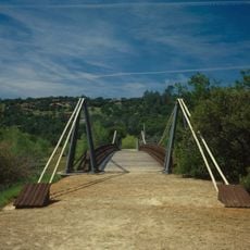
Old Bidwell Bar Bridge
9 km
Chico Community Observatory
29.3 km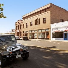
Live Oak Historic Commercial District
37.2 km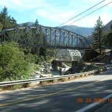
Tobin Bridges
42.3 km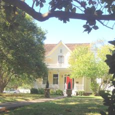
A. H. Chapman House
29.6 km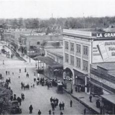
Silberstein Park Building
30.5 km
Museum of Northern California Art
31.3 km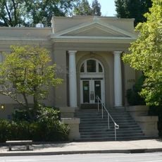
Oroville Carnegie Library
9.4 km
Arboreto de la Universidad de California Campus de Chico
31.4 km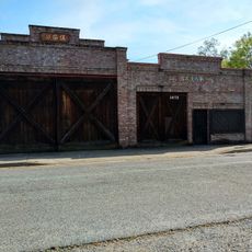
Oroville Chinese Temple
9.3 km
Senator Theatre
30.3 km
Oroville State Theatre
9.3 kmReviews
Visited this place? Tap the stars to rate it and share your experience / photos with the community! Try now! You can cancel it anytime.
Discover hidden gems everywhere you go!
From secret cafés to breathtaking viewpoints, skip the crowded tourist spots and find places that match your style. Our app makes it easy with voice search, smart filtering, route optimization, and insider tips from travelers worldwide. Download now for the complete mobile experience.

A unique approach to discovering new places❞
— Le Figaro
All the places worth exploring❞
— France Info
A tailor-made excursion in just a few clicks❞
— 20 Minutes