Chest opened
+${chestReward.xp} XP
Explorer
NOUVEAU ×${chestReward.collectible.quantity}
tapez pour fermer
Chest locked

Open chests in the app

Around Us is built for your phone — chests unlock when you walk, explore and capture nearby places.

Enable Location

We need your location to show you interesting places around you

Discover nearby places

Find interesting locations and hidden gems around you

Precise directions

Get accurate directions and distances to places

Your location is never shared with other users. It's only used when you tap the location button.

Burney

Log in to your account

Start exploring — it's free

Trusted by 72,889 travelers worldwide

Continue with Google
Continue with Apple
or

We will send you a code to connect

By continuing, you accept our Terms and Conditions and our Privacy Policy

Check your inbox

We've sent a pincode in your inbox. Please enter the code below.

Discussion Reviews 2 Photos
18.1k Popularity

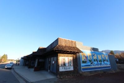
Burney, Census-designated place in Shasta County, California.

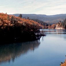
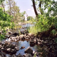
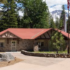
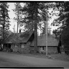
Burney is a settlement nestled in northern California's forested mountain terrain within Shasta County. The town offers lodging, grocery stores, and everyday services that serve both residents and visitors passing through.

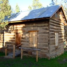
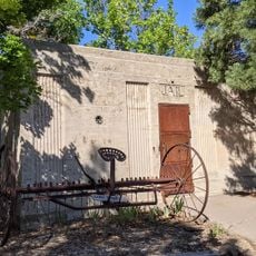
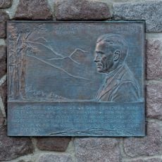
Samuel Burney, an early settler, died in this valley and the place took his name. The area later became known for its logging industry, which shaped the local economy for generations.

The community maintains ties to its logging past while caring for Native American heritage sites scattered throughout the area. Local gatherings throughout the year reflect the traditions and values that shape daily life here.

The town is easily reached via State Route 299, making arrival straightforward for most travelers. Once there, basic amenities are scattered throughout the area so visitors can handle everyday needs without difficulty.

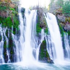
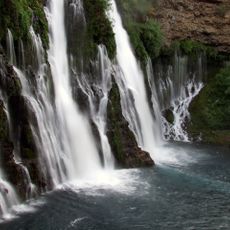
Parts of the film 'Stand by Me' were shot near McArthur-Burney Falls Memorial State Park, giving the area a connection to cinema. Movie enthusiasts sometimes recognize the landscape and find it a fun detail during their visit.

The community of curious travelers

AroundUs brings together thousands of curated places, local tips, and hidden gems, enriched daily by 60,000 contributors worldwide.

Start exploring
Location
Elevation above the sea
952 m
GPS coordinates
40.88056,-121.66667
Latest update
December 7, 2025 19:23
Around this place
Burney Falls
United States of America

Burney Falls

14.7 km
Allen Telescope Array
United States of America

Allen Telescope Array

17.7 km
McArthur-Burney Falls Memorial State Park
United States of America

McArthur-Burney Falls Memorial State Park

15.5 km
Lake Britton
United States of America

Lake Britton

15.7 km
Ahjumawi Lava Springs State Park
United States of America

Ahjumawi Lava Springs State Park

35.3 km
Hat Creek Radio Observatory
United States of America

Hat Creek Radio Observatory

17.7 km
Chaos Crags
United States of America

Chaos Crags

41.5 km
Thousand Lakes Wilderness
United States of America

Thousand Lakes Wilderness

21.3 km
Nobles Emigrant Trail
United States of America

Nobles Emigrant Trail

42.4 km
Loomis Museum
United States of America

Loomis Museum

39.3 km
Pit 3 Dam
United States of America

Pit 3 Dam

15.7 km
Fort Crook
United States of America

Fort Crook

26.5 km
Pit 6 Dam
United States of America

Pit 6 Dam

27.9 km
Lassen Volcanic National Park Highway Historic District
United States of America

Lassen Volcanic National Park Highway Historic District

44.3 km
Manzanita Lake Naturalist's Services Historic District
United States of America

Manzanita Lake Naturalist's Services Historic District

39.3 km
Hot Rock
United States of America

Hot Rock

41.2 km
Devastated Area Interpretive Trail
United States of America

Devastated Area Interpretive Trail

44 km
Discovery Center
United States of America

Discovery Center

39.2 km
Loomis Ranger Station
United States of America

Loomis Ranger Station

39.3 km
Seismograph Building
United States of America

Seismograph Building

39.3 km
Intermountain Fair
United States of America

Intermountain Fair

29.5 km
Seismograph
United States of America

Seismograph

39.3 km
Manzanita Ranger Residence
United States of America

Manzanita Ranger Residence

39 km
Chaos Jumbles
United States of America

Chaos Jumbles

39.4 km
Fort Crook Museum
United States of America

Fort Crook Museum

23 km
Mt. Burney Theatre
United States of America

Mt. Burney Theatre

324 m
Mather Plaque in Lassen Volcanic National Park
United States of America

Mather Plaque in Lassen Volcanic National Park

39.3 km
Silver Lake
United States of America

Silver Lake

22.2 km
Show the full map
Reviews
Share your experience

No review yet

Discussions
Start a discussion...

No discussion yet

« Burney - Census-designated place in Shasta County, California » is provided by Around Us (aroundus.com). Images and texts are derived from Wikimedia project under a Creative Commons license. You are allowed to copy, distribute, and modify copies of this page, under the conditions set by the license, as long as this note is clearly visible.

Discover hidden gems everywhere you go!

From secret cafés to breathtaking viewpoints, skip the crowded tourist spots and find places that match your style. Our app makes it easy with voice search, smart filtering, route optimization, and insider tips from travelers worldwide. Download now for the complete mobile experience.

Around Us App Screenshot

A unique approach to discovering new places

Le Figaro

All the places worth exploring

France Info

A tailor-made excursion in just a few clicks

20 Minutes

Around Us
Travel Guide & Maps
Download

Send to your phone

QR Code
1

Open the camera app on your mobile.

2

Point at the QR code with your camera. A notification will appear.

3

Tap the notification to open the link.