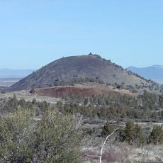
Medicine Lake Volcano, Shield volcano in Siskiyou County, United States.
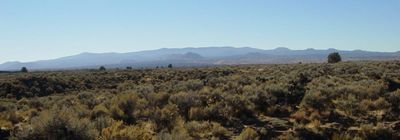
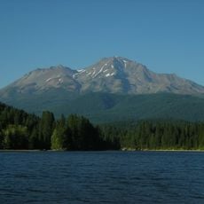
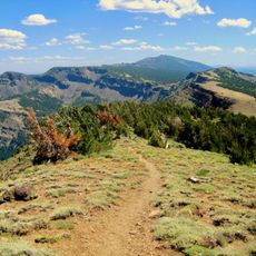
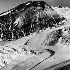
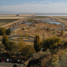
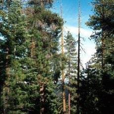
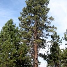
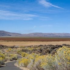
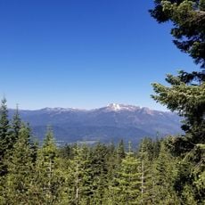
Medicine Lake Volcano is a shield volcano in northeastern California whose broad flat crater encloses a lake at around 7900 feet (2400 meters) elevation. Built from basalt, the mountain extends over a wide area with lava fields and pine forests spreading gently outward.
The volcano formed around half a million years ago and went through several eruptive phases that released large amounts of basalt lava. The most recent volcanic activity took place roughly a thousand years ago in the southeastern part of the system.
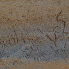
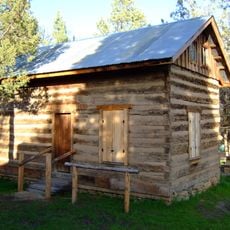
Several indigenous groups regard the area as a sacred site, and the name refers to the clear lake water used in ceremonial practices. Local tribal members still gather medicinal herbs and plants in the forests around the volcano today.
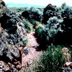
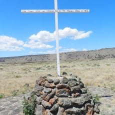
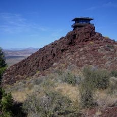
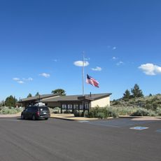
Several trails lead through lava tubes and to lookout points, though some routes cross loose rock and uneven ground. The lake is accessible in summer and winter, but snow often blocks access roads during spring for several weeks.
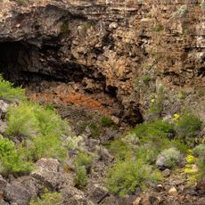
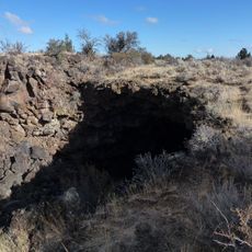
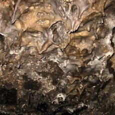
This formation is one of the largest volcanoes in the Cascade Range by volume, showing around 150 cubic miles (600 cubic kilometers) of solidified rock. Some lava tubes within the system are large enough for a person to walk through upright.
The community of curious travelers
AroundUs brings together thousands of curated places, local tips, and hidden gems, enriched daily by 60,000 contributors worldwide.